Warnung
Warnungen
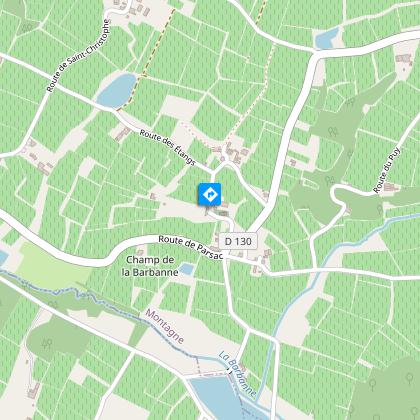
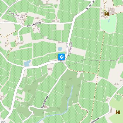
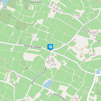
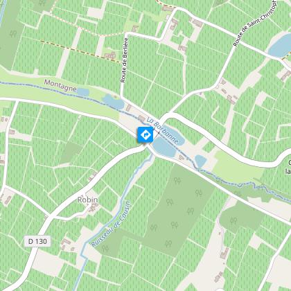
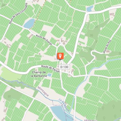
Boucle pédestre : Autour de Parsac

IGN Karten


Beschreibung
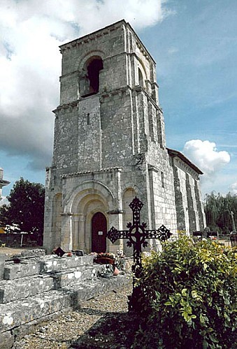
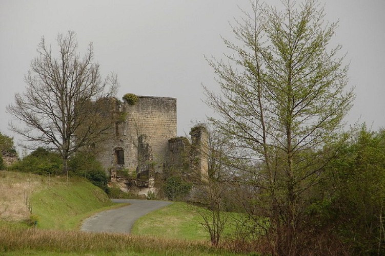
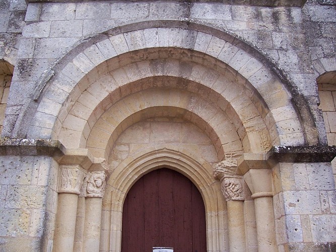
Unweit von Montagne können Sie auf diesem kurzen Spaziergang das hübsche Kulturerbe von Parsac entdecken. Dieses Dorf beherbergt insbesondere eine schöne romanische Kirche aus dem 11.
Technische Informationen
Höhenprofil
Ausgangspunkt
Schritte
Zusätzliche Informationen
Contact
E-Mail : accueil@saint-emilion-tourisme.com
Kabeltelefon : +33 5 57 55 28 28
Website (URL) : www.saint-emilion-tourisme.com
Typologie de l'itinéraire
Schleife
Accès transports régionaux
In der Nähe einer Nationalstraße
Animaux bienvenus ?
Oui
Thèmes
Kulturell
Historisch
Naturnah
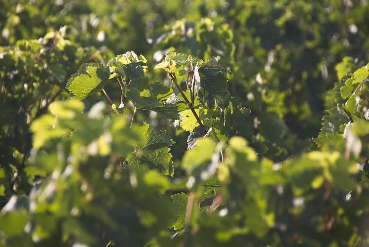
Önologisch
Religiös
