Alert

Alerts

To see around
See more
Open
Close
Show
Show
Show
Show
Show
Show
Show
Show
Show
Show
Show

Oups... It would appear that Cirkwi does not have permission to use your location.

Presentation
Description
Map
Points of interest
Ratings and reviews
See around

Snowshoeing itinerary : La Granze

Snowshoeing itinerary : La Granze

IGN cards

3531OTR - MEGEVE RESISTANTE COL DES ARAVIS
Editor : IGN
Collection : TOP 25 RÉSISTANTE
Scale : 1:25 000
17.20€
3430ETR - LA CLUSAZ RESISTANTE LE GRAND-BORNAND
Editor : IGN
Collection : TOP 25 RÉSISTANTE
Scale : 1:25 000
17.20€
3430ET - LA CLUSAZ LE GRAND-BORNAND
Editor : IGN
Collection : TOP 25 ET SÉRIE BLEUE
Scale : 1:25 000
13.90€
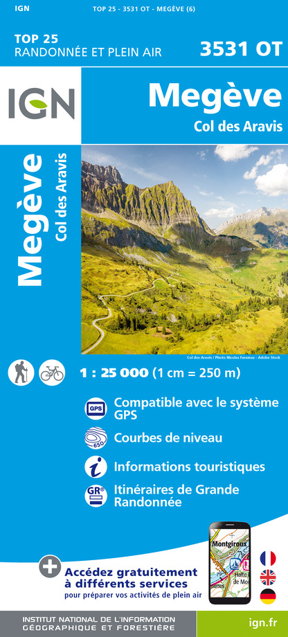
3531OT - MEGEVE COL DES ARAVIS
Editor : IGN
Collection : TOP 25 ET SÉRIE BLEUE
Scale : 1:25 000
13.90€
TOP75032 - CHAINE DES ARAVIS - MASSIF DES BAUGES
Editor : IGN
Collection : TOP 75
Scale : 1:75 000
9.80€
TOP75004 - BEAUFORTAIN MASSIF DU MONT BLANC
Editor : IGN
Collection : TOP 75
Scale : 1:75 000
9.80€
TOP100D74 - HAUTE-SAVOIE ANNECY THONON-LES-BAINS MASSIF DU MONT BLANC CHAÎNE DES ARAVIS
Editor : IGN
Collection : TOP 100
Scale : 1:100 000
8.40€
TOP100D73 - SAVOIE CHAMBÉRY ALBERTVILLE PARC NATIONAL DE LA VANOISE PNR DU MASSIF DES BAUGES
Editor : IGN
Collection : TOP 100
Scale : 1:100 000
8.40€
202 JURA ALPES DU NORD
Editor : IGN
Collection : TOP 200
Scale : 1:200 000
6.80€
D38 ISÈRE
Editor : IGN
Collection : CARTES DÉPARTEMENTALES IGN
Scale : 1:150 000
5.90€
NR15 AUVERGNE-RHÔNE-ALPES RECTO/VERSO MASSIF ALPIN
Editor : IGN
Collection : CARTES RÉGIONALES IGN
Scale : 1:250 000
6.80€
NR14 AUVERGNE-RHÔNE-ALPES RECTO/VERSO MASSIF CENTRAL
Editor : IGN
Collection : CARTES RÉGIONALES IGN
Scale : 1:250 000
6.80€
SUISSE
Editor : IGN
Collection : DÉCOUVERTE DES PAYS DU MONDE IGN
Scale : 1:303 000
7.00€
EUROPE
Editor : IGN
Collection : DÉCOUVERTE DES PAYS DU MONDE IGN
Scale : 1:2 500 000
7.00€

Description

Walk from Le Plan along the creek on a sunny slope.

Technical Information

Walking
Difficulty
Very easy
Duration
1h
Dist.
2.8 km
Show more

Altimetric profile

Starting point

Parking P2 - Le Plan , 73590   La Giettaz
Lat : 45.879689Lng : 6.524796

Points of interest

Date and time

  • From 15/12/2024 to 15/04/2025
  • From 15/12/2025 to 15/04/2026

Additional information

Updated by

Office de Tourisme du Val d'Arly - 11/10/2024
www.valdarly-montblanc.com
Report a problem

Guidebook with maps/step-by-step

1/ Leave from car park P2 at Le Plan, next to the chapel. Take the road alongside the Arrondine stream.
2/ At the Juste crossroads, take the rising road on the left. After passing through several villages, you'll come to a beautiful view of the valley and the Torraz ski area.
3/ Continue to the right before descending below the old farmhouse ‘La Granze’.
4/ Reach the bottom of the valley and return to the starting point through the forest and then along the road.

Environments

Near shuttle stop
Mountain view
Mountain location
Bottom of slopes
Close to a public transportation
River 5 km away
Ski resort
Bus stop < 500 m

Reception conditions for animals

Dogs must be kept on a lead.

Open period

From 15/12 to 15/04.

Subject to snow conditions.

Topo guides and map references

Topo guides references :
Map of snowshoeing and ski touring itineraries in the Val d'Arly on sale for 4€ in the Val d'Arly Tourist Offices (itinerary no. 15)

Map references :
Map of snowshoeing and ski touring itineraries in the Val d'Arly on sale for 4€ in the Val d'Arly Tourist Offices (itinerary no. 15)

Type of land

Non-groomed itinerary

Contact

Phone : 04 79 32 91 90

Email : sentiers@valdarly-montblanc.com

Location complements

Accessible by Giett'Bus (Le Plan stop). Free parking next to the chapel.

Ratings and reviews

To see around
See more
Open
Close
Show
Show
Show
Show
Show
Show
Show
Show
Show
Show
Show
Caution!
We have no information on the difficulty of this circuit. You may encounter some surprises along the way. Before you go, please feel free to inquire more and take all necessary precautions. Have a good trip! 🌳🥾