Alert
Alerts
Type of practice
Mountainbiking
Medium
5h30mn
Description
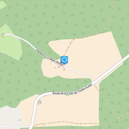
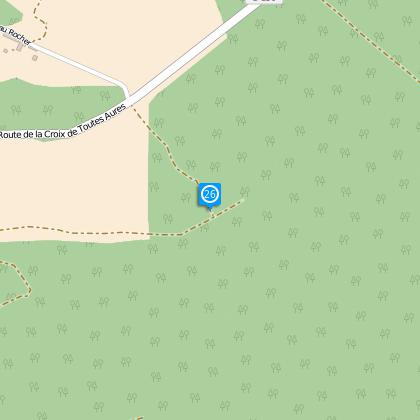
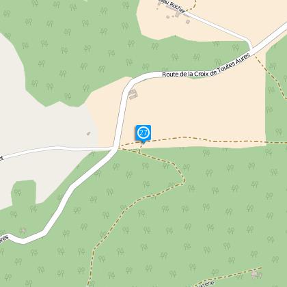
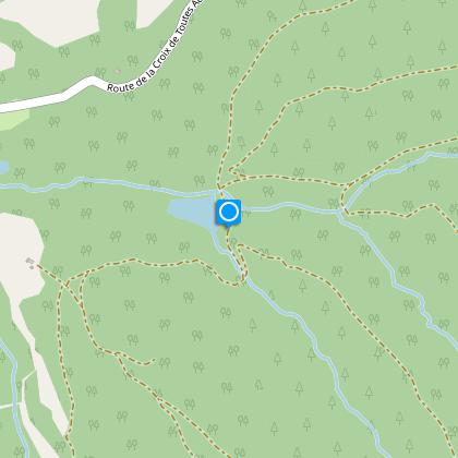
Map
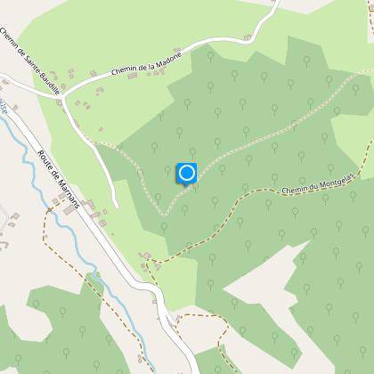
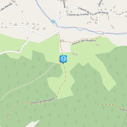
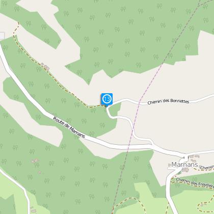
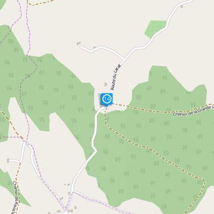
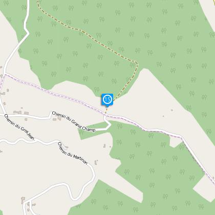
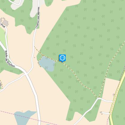
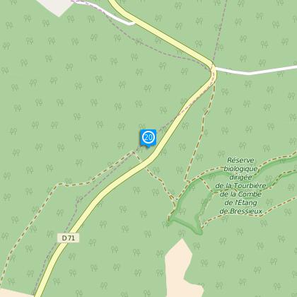
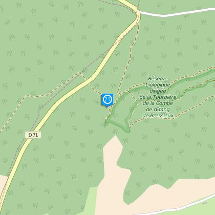
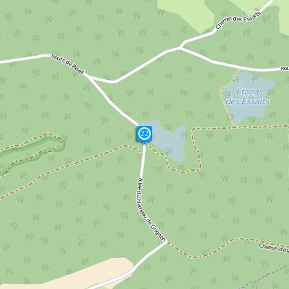
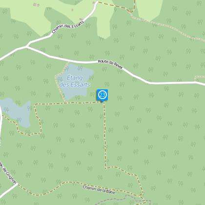
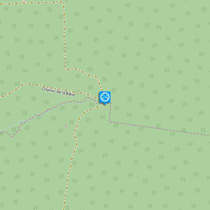
Steps
Ratings and reviews
See around
Roybon
Description
Distance : 40,5 km
Duration : 5h30
Difference in height : 697 m
Level : difficult
Technical Information
Mountainbiking
Difficulty
Medium
Duration
5h30mn
(1d)
Dist.
43 km
Type of practice
Mountainbiking
Medium
5h30mn
Show more
Altimetric profile
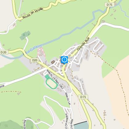
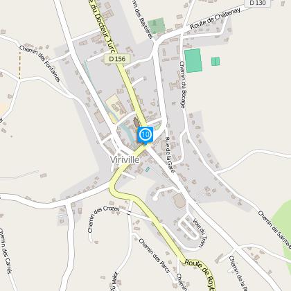
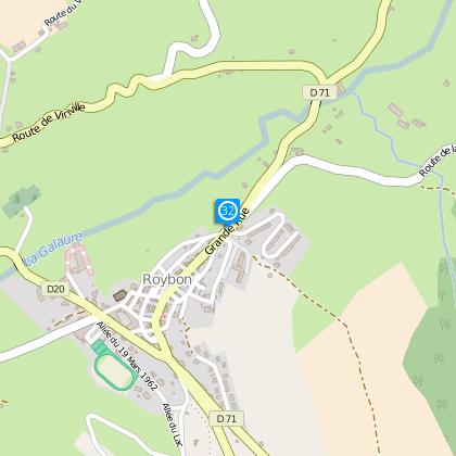
Starting point
143
Allée du 19 Mars 1962
,
38940Roybon
Lat : 45.25712Lng : 5.24264
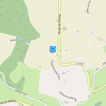
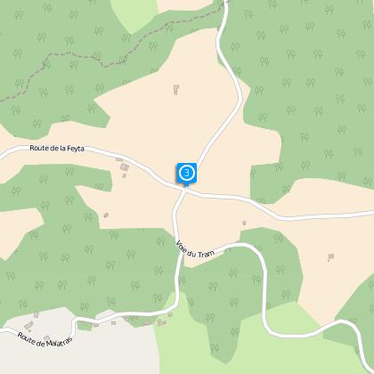
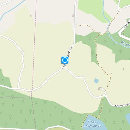
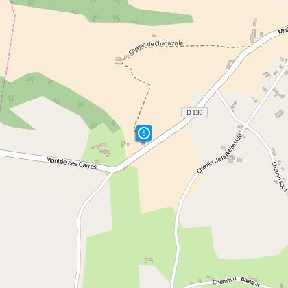
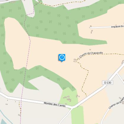
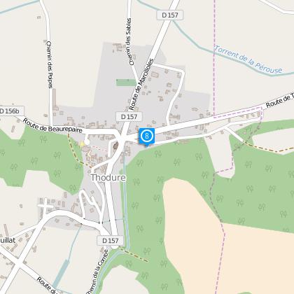
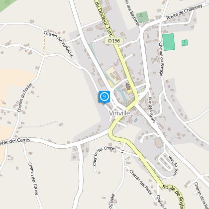
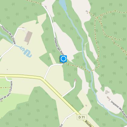
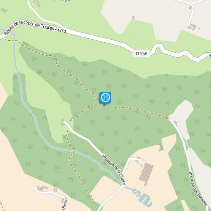
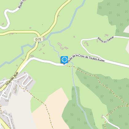
Steps

Data author

proposed by
Office de Tourisme Terres de Berlioz
40 place du maquis de Chambaran 38940 ROYBON France
Ratings and reviews
To see around