Alert
Alerts
Type of practice
Walking
Easy
3h15mn
Presentation
Description
Map
Ratings and reviews
See around
Hiking trail "Le tour du Pic de l'Aigle"

IGN cards

3338OT - SERRES - VEYNES HAUT BUËCH BOCHAINE
Editor : IGN
Collection : TOP 25 ET SÉRIE BLEUE
Scale : 1:25 000
13.90€

TOP75009 - DIOIS DEVOLUY HAUTE VALLEE DE LA DROME
Editor : IGN
Collection : TOP 75
Scale : 1:75 000
9.80€

VEL03 - LE VAUCLUSE A VÉLO
Editor : IGN
Collection : DECOUVERTE A VELO
Scale : 1:100 000
9.10€

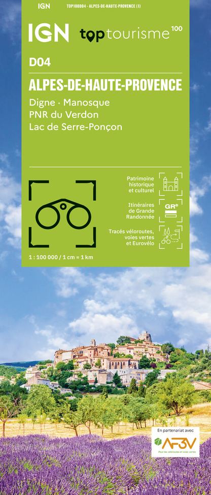
TOP100D04 - ALPES-DE-HAUTE-PROVENCE DIGNE MANOSQUE PNR DU VERDON LAC DE SERRE-PONÇON
Editor : IGN
Collection : TOP 100
Scale : 1:100 000
8.40€

TOP100D26 - DRÔME VALENCE MONTÉLIMAR DIE PNR DES BARONNIES PROVENÇALES PNR DU VERCORS
Editor : IGN
Collection : TOP 100
Scale : 1:100 000
8.40€

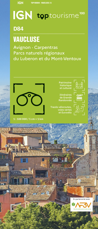
TOP100D84 - VAUCLUSE AVIGNON CARPENTRAS PARCS NATURELS RÉGIONAUX DU LUBERON ET DU MONT-VENTOUX
Editor : IGN
Collection : TOP 100
Scale : 1:100 000
8.40€

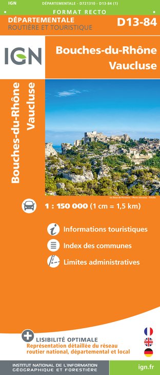
D13-84 BOUCHES-DU-RHÔNE VAUCLUSE
Editor : IGN
Collection : CARTES DÉPARTEMENTALES IGN
Scale : 1:150 000
5.90€

D04-05 ALPES-DE-HAUTE-PROVENCE HAUTES-ALPES
Editor : IGN
Collection : CARTES DÉPARTEMENTALES IGN
Scale : 1:150 000
5.90€

D07-26 ARDÈCHE DRÔME
Editor : IGN
Collection : CARTES DÉPARTEMENTALES IGN
Scale : 1:150 000
5.90€

NR14 AUVERGNE-RHÔNE-ALPES RECTO/VERSO MASSIF CENTRAL
Editor : IGN
Collection : CARTES RÉGIONALES IGN
Scale : 1:250 000
6.80€

NR16 PROVENCE-ALPES-CÔTE D'AZUR
Editor : IGN
Collection : CARTES RÉGIONALES IGN
Scale : 1:250 000
6.80€

NR15 AUVERGNE-RHÔNE-ALPES RECTO/VERSO MASSIF ALPIN
Editor : IGN
Collection : CARTES RÉGIONALES IGN
Scale : 1:250 000
6.80€

EUROPE
Editor : IGN
Collection : DÉCOUVERTE DES PAYS DU MONDE IGN
Scale : 1:2 500 000
7.00€
Description
A longer alternative road for the Pic de l'Aigle, with as an extra a beautiful canyon slope near the end in a Far-West atmosphere.
Technical Information
Walking
Difficulty
Easy
Duration
3h15mn
Dist.
8.8 km
Type of practice
Walking
Easy
3h15mn
Show more
Altimetric profile
Starting point
Hameau de la Buissière - halle communale
,
05700
Savournon
Lat : 44.42Lng : 5.7864
Additional information
Contact
Phone :
04 92 67 00 67
04 92 31 27 52
Email : serres@sisteron-buech.fr
Website : rando.sisteron-buech.fr
Open period
All year round.
Updated by
Office de Tourisme Sisteron Buëch - 06/08/2023
www.sisteron-buech.fr
Data author
Ratings and reviews
To see around
