Alert

Alerts

To see around
See more
Open
Close
Show
Show
Show
Show
Show
Show
Show
Show
Show
Show
Show

Oups... It would appear that Cirkwi does not have permission to use your location.

Presentation
Description
Map
Steps
Points of interest
Ratings and reviews
See around

NISRAMONT - Big Lake Solitude

Description

The lakes fascinate and attract lovers of a mysterious and magical nature. For those seeking the solitude of one of the wildest landscapes in Belgium, Nisramont is the perfect spot.

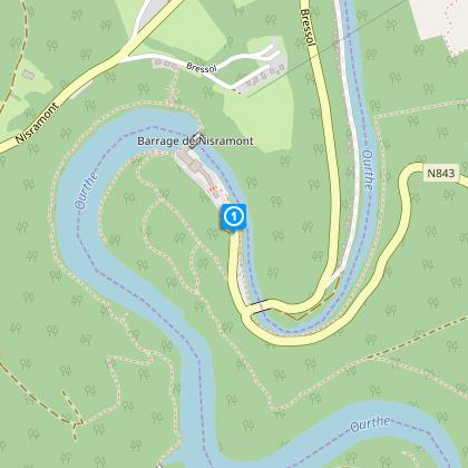
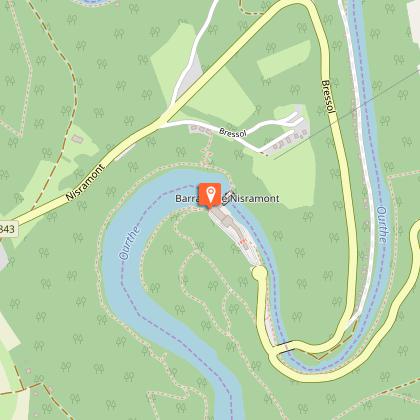
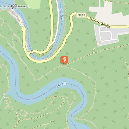
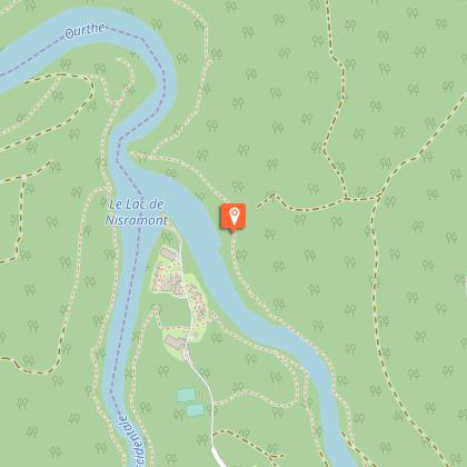
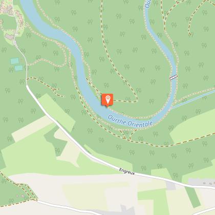
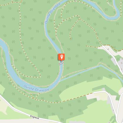
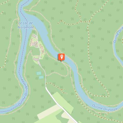
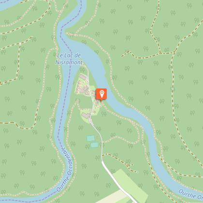
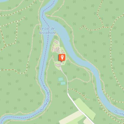
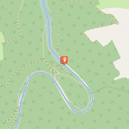
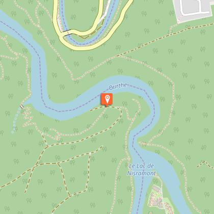
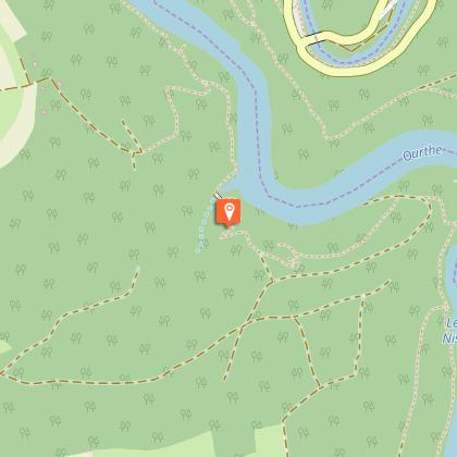
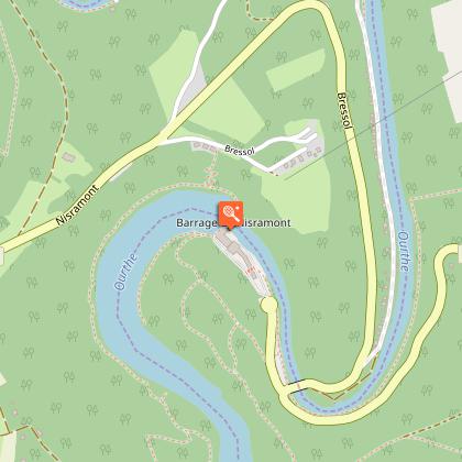
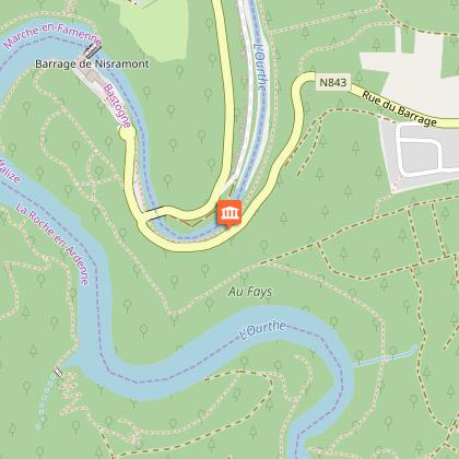
A visit to the Haute Ardennes is a breath of adventure and fills you with the spirit of discovery. The path that runs along the shores of Lake Nisramont conjures images of wild nature. This walking route is the gift that keeps on giving with stunning scenery from lakes to mountains, forest to river. As you follow the banks of the Ourthe river from rock to rock, climbing and descending by steep paths to reach the other bank you’ll be amazed at the variety of scenery, near “Engreux”. The return via the banks of the River Ourthe will require another 2 hours of walking in an atmosphere of complete peace. No road, no traffic noise to disturb this magnificent hike. Heavenly silence.
During this hike, you take a section of the “Escapardenne” (another beautiful hike).

Technical Information

Walking
Difficulty
Hard
Duration
6h (1d)
Dist.
16 km
Show more

Altimetric profile

Starting point

Route du Barrage , 6660   Houffalize
Lat : 50.14248Lng : 5.67048

Points of interest

image du object

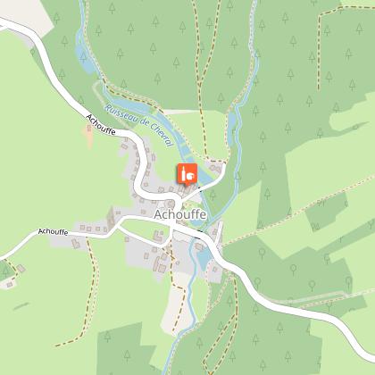
The village of Engreux, at the confluence of the two Ourthes

Engreux is located in the fork made by the two branches of the Ourthe river, where they join, and it is famous for its wild beauty. It is inserted as a prow on a headland that is circled by the steep slopes of the double valley. In 1242, Engreux became one of the four county towns of the county of La Roche. Its high Justice court whose house is still there was presided by the mayor, who was assisted by seven aldermen, by a clerck and a sergent. His powers enabled him to sentence somebody to death by hanging at a gibbet. The Anthony of Padua Church was built in 1845 for substituating a chapel built in 1717. It is enlighted by very nice stained-glass Windows and it has a Way of the Cross that was painted on a canvas in 1860. Below the Church, there is "la fontin, de Djâke et Les Batch", a cascade of five communal watering places for the inhabitants of the village and for their herds. Below, "Li r?pôswar dol procèssion d?amon Lamborelle." Several walks (12 kms that are marked) from the Tourist Office of the confluence of the two Ourthes leave from the village for criss crossing the countryside and making you discovering every corner of this wonderful country. One of the walks leads to the rock called "Li cresse di leu sau" which is high at least 80 meters and that rises perpendicular over the river. It is one of the mosy beautiful view of the region. People say that its names comes from a princess who would have put an end to her unhappy love affairs by throwing herself in the Ourthe from the top of this rock. From there, we can admire this place that is wonderful and surprising with quiet where the Nisramont dam retains a lake huge 47 ha with 3 millions cubic meters of water. On the other side of the Church, there is a road that leads us to the mill of Spitanche, in the end of a woody gorge in an ocean of greenery, after having led us to the panoramic site of Cou des Monty. The mill of Spitanche was destroyed in 1944 by the Germans whereas it was used as a shelter by the members of the Resistance. There are only some ruins left of the ancient proud communal mill.

6663 Engreux
- Maison du Tourisme Cœur de l'Ardenne, au fil de l'Ourthe & de l'Aisne -
Consulter
image du object

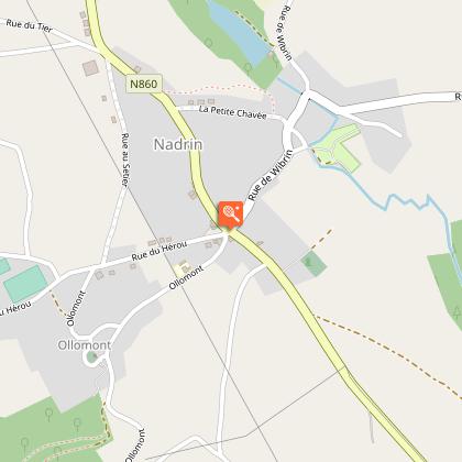
Nadrin

The Upper Ourthe is located between the touristic centers Houffalize and La Roche are, it streches out on 30 kms long the most picturesque and most wild valley of the Ourthe. It gathers 12 localities spread in hills and valleys. Gorgeous natural sites, archaeological sites and architectural are the aim of a great number of walks, and they make a network of 72 paths for a total of about 420 km. The region is registred in the exceptional heritage of Wallonia as "Val de l'Ourthe".It is irrefutable that the first prize goes to the Hérou site, with its impressive whole of sheer rocks that overlooks the Ourthe you can see five times from the belvedere in Nadrin (exceptional landscape). The cresse Sainte-Marguerite and its statue onn the rock peak is also to be seen. The confluence between the two Ourthes (eastern and western) is in Engreux where the road or the path lead you to the lake of Nisramont, a lake huge 47 Ha where you can fish or go boating. Around it, you can walk 14 km in an exceptional flora.It is also the region par excellence for practicing kayak, fishing, cross-country skiing (Samrée: 52 km of marked runs) and paragliding or hang-gliding, starting from the Les Crestelles taking off strip in Bérisménil, at the place where a ancient flying fortress crashed. ( Memorial to the Allies' airforce). The viewpoint is exceptional.As for archaeology, there is the "Le Cheslé" site: it is huge 14 Ha and there was a Celtic fortress that was occupied from the 9th Century on. Some excavations have been made there for more than fourty years. At the Southern point, you can see an outstanding reconstitution of one of the ramparts on 120 meters. In Nadrin, near the ruins of roman villas from the 2nd and 3rd Centuries, there is a more recent monument. It is the Europalia monument, that was offered by Portugal in 1991, when they entered in the European Community. Another history mark is the US Sherman tank in Wibrin.Some old churches and chapels are to be admired in Bonnerue, Engreux, Ollomont, Vellereux (and also the Wilkin house), Wibrin. The old Jacqumin farm in Filly is classed.A tour of the small popular heritage will lead you to discover the Fontaine Djâke fountain and its serie of watering places in Engreux, some ancient fountains and wells

6660 Nadrin
- Maison du Tourisme Cœur de l'Ardenne, au fil de l'Ourthe & de l'Aisne -
Consulter

Data author
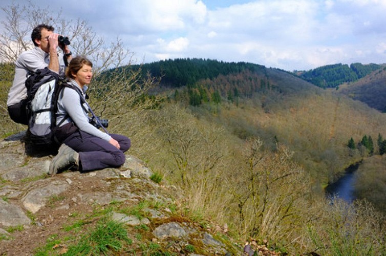
Image VISITWallonia
proposed by VISITWallonia
Avenue Comte de Smet de Nayer, 14 5000 Namur Belgique

Ratings and reviews

To see around
See more
Open
Close
Show
Show
Show
Show
Show
Show
Show
Show
Show
Show
Show
Caution!
We have no information on the difficulty of this circuit. You may encounter some surprises along the way. Before you go, please feel free to inquire more and take all necessary precautions. Have a good trip! 🌳🥾