Alert

Alerts

To see around
See more
Open
Close
Show
Show
Show
Show
Show
Show
Show
Show
Show
Show
Show

Oups... It would appear that Cirkwi does not have permission to use your location.

Presentation
Description
Map
Ratings and reviews
See around

Hiking loop: paysages franco-suisses: Soral - Thairy - Laconnex

Hiking loop: paysages franco-suisses: Soral - Thairy - Laconnex
Thairy

IGN cards

3430OT - MONT SALÈVE SAINT-JULIEN-EN-GENEVOIS - ANNEMASSE
Editor : IGN
Collection : TOP 25 ET SÉRIE BLEUE
Scale : 1:25 000
13.90€
3429OT - GENÈVE ANNEMASSE LE LÉMAN
Editor : IGN
Collection : TOP 25 ET SÉRIE BLEUE
Scale : 1:25 000
13.90€
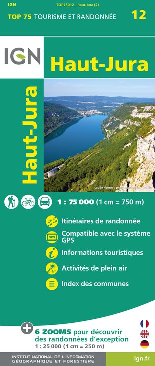
TOP75012 - HAUT-JURA
Editor : IGN
Collection : TOP 75
Scale : 1:75 000
9.80€
TOP75032 - CHAINE DES ARAVIS - MASSIF DES BAUGES
Editor : IGN
Collection : TOP 75
Scale : 1:75 000
9.80€
TOP100D74 - HAUTE-SAVOIE ANNECY THONON-LES-BAINS MASSIF DU MONT BLANC CHAÎNE DES ARAVIS
Editor : IGN
Collection : TOP 100
Scale : 1:100 000
8.40€
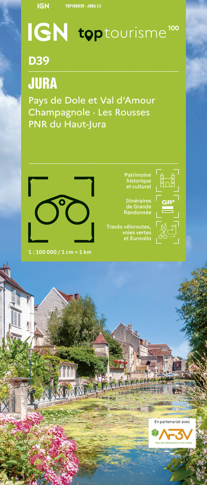
TOP100D39 - JURA PAYS DE DOLE ET VAL D'AMOUR CHAMPAGNOLE LES ROUSSES PNR DU HAUT-JURA
Editor : IGN
Collection : TOP 100
Scale : 1:100 000
8.40€
TOP100D01 - AIN BOURG-EN-BRESSE AMBÉRIEU-EN-BUGEY PAYS DE GEX
Editor : IGN
Collection : TOP 100
Scale : 1:100 000
8.40€
202 JURA ALPES DU NORD
Editor : IGN
Collection : TOP 200
Scale : 1:200 000
6.80€
89026 - GRANDES TRAVERSÉES DU JURA - GTJ
Editor : IGN
Collection : DECOUVERTE DES CHEMINS
Scale : 1:105 000
9.10€
D01-69 AIN RHÔNE
Editor : IGN
Collection : CARTES DÉPARTEMENTALES IGN
Scale : 1:150 000
5.90€
D25-39 DOUBS JURA
Editor : IGN
Collection : CARTES DÉPARTEMENTALES IGN
Scale : 1:150 000
5.90€
NR09 BOURGOGNE FRANCHE-COMTÉ
Editor : IGN
Collection : CARTES RÉGIONALES IGN
Scale : 1:250 000
6.80€
NR15 AUVERGNE-RHÔNE-ALPES RECTO/VERSO MASSIF ALPIN
Editor : IGN
Collection : CARTES RÉGIONALES IGN
Scale : 1:250 000
6.80€
NR14 AUVERGNE-RHÔNE-ALPES RECTO/VERSO MASSIF CENTRAL
Editor : IGN
Collection : CARTES RÉGIONALES IGN
Scale : 1:250 000
6.80€
SUISSE
Editor : IGN
Collection : DÉCOUVERTE DES PAYS DU MONDE IGN
Scale : 1:303 000
7.00€
EUROPE
Editor : IGN
Collection : DÉCOUVERTE DES PAYS DU MONDE IGN
Scale : 1:2 500 000
7.00€

Description

An easy walk through the countryside between France and Switzerland, with vineyards, pastures and old bourgeois houses just a stone's throw from the town.
On the way, you'll see Thairy Castle, the justice stones and vineyards. Soral has old houses, wine cellars (wine tasting available), a wayside Cross and a wash-house. Magnificent views of the Salève, Jura and Vuache ranges. Information boards are dotted along the path.

Technical Information

Walking
Difficulty
Very easy
Duration
2h50mn
Dist.
8.7 km
Show more

Altimetric profile

Starting point

Point de départ: Parking de l'église de Thairy , 74160   Saint-Julien-en-Genevois
Lat : 46.143092Lng : 6.062692

Additional information

Updated by

Office de Tourisme des Monts du Genevois - 24/06/2024
www.montsdugenevois.com
Report a problem

Tips

For even more details (map, route, description...), you can purchase the Topo Guide to 37 walks and hikes: Pays du Salève et du Vuache on foot. On sale at the Tourist Office

Open period

Throughout the year : open daily.

Animals accepted

Animals are accepted.

Data author

Image Monts du Genevois
proposed by Monts du Genevois
2 Place de la Gare 74100 Annemasse France

Ratings and reviews

To see around
See more
Open
Close
Show
Show
Show
Show
Show
Show
Show
Show
Show
Show
Show
Caution!
We have no information on the difficulty of this circuit. You may encounter some surprises along the way. Before you go, please feel free to inquire more and take all necessary precautions. Have a good trip! 🌳🥾