Alert
Alerts
Walking itinerary: La Bourgeoise


IGN cards
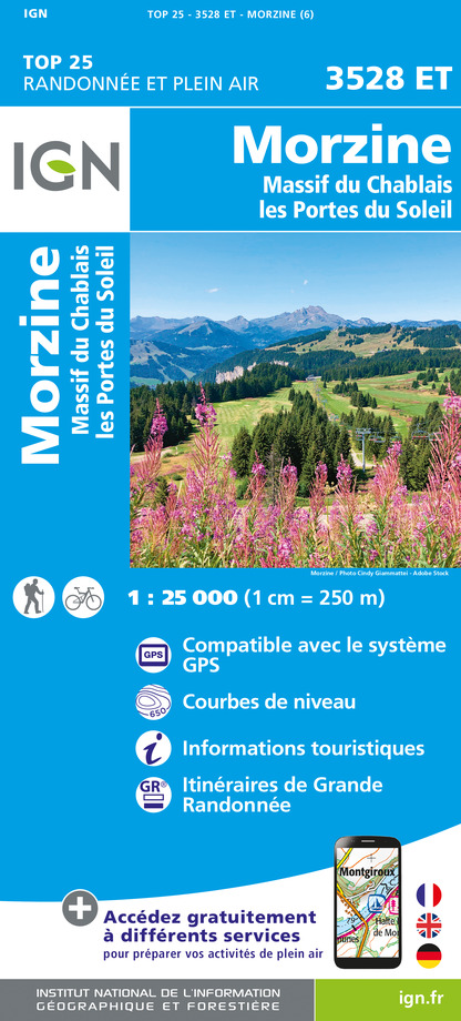
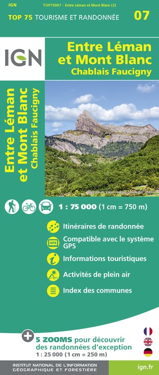


Description
Short hike accessible to all, joining the Bourgeoise from the Col de Joux Plane. This summit, located at 1770 meters of altitude, constitutes a superb viewpoint on the Mont-Blanc and the summit of the Giffre massif surrounding.
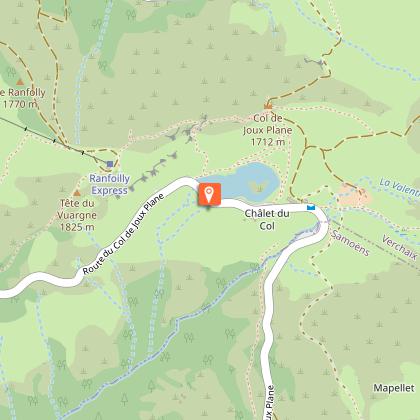
Starting from the Col de Joux Plane and its lake, overlooking Samoëns to the south and Morzine to the north, this walk without difficulty starts in beautiful alpine landscapes until the Chalets of Mapellet.
Passing under the Pointe de Chamossière, the route offers many panoramas on the Giffre massif: The North Face of the Criou, the Pointe Rousse or the Tête de Bostant. The Mapellet Cross marks your arrival at the top, you will then be gratified from a breathtaking 360° perspective.
The view of the Mont Blanc from the Bourgeois is breathtaking. Also discover the surrounding peaks thanks to the orientation table on site.
Technical Information
Altimetric profile
Starting point
Points of interest
Date and time
- From 01/06/2025 to 15/12/2025
- From 01/06/2026 to 15/12/2026
Additional information
Open period
From 01/06 to 15/12.
June to first snow (cross-country ski trail in winter).
Updated by
Office de Tourisme de Samoëns - 26/02/2025
www.samoens.com
Report a problem
Contact
Email : infos@samoens.com
Website : www.valleeduhautgiffre.fr/randonnée/randos-faciles/la-bourgeoise-depuis-joux-plane/
Location complements
Via the Joux Plane pass.
Topo guides and map references
Topo guides references :
Topo randonnées : 50 hikes in the Vallée du Haut-Giffre, Patrice Gain
Topo Ballade Montagne du Giffre : Booklet of 32 walks with commentary
Map references :
TOP 25 IGN 3530 AND
Type of land
Stone
Ground
Not suitable for strollers
Environments
Lakeside or by stretch of water
Lake view
Mountain location
Waterside
Guidebook with maps/step-by-step
1/ From the parking lot of Lake Joux Plane, take the path going up to the right of the road, until the Chalets de Mapellet.
2/ From the Chalets de Mapellet, continue left towards the Bourgeoise. You will reach the path leading to the Pointe de Chamossière, before reaching the panoramic view of la Bourgeoise at the end of a final climb.
3/ From La Bourgeoise Orientation Table, you return to your starting point by the same route as on your way out.
Animals accepted
dog leash
Data author


