Alert
Alerts
Hiking loop: paysages et récoltes


IGN cards


Description
This walk reveals the Vuache area's rural heritage - churches and villages, old farmhouses, agricultural traditions and legends.
From the village of Chênex, discover this hike without difficulty in a rich and preserved natural setting.
Take the time to discover the church of Chênex of neo-Romanesque style dating from 1881 and its tabernacle classified at the national level, as well as the center of the village. You will discover the landscapes of the plain, the Bois du Mont, the hamlet of Bellossy, the woods in Reynauds, and admire the view of the Alps.
Between hamlets, forests and orchards, this hike is ideal for a morning or an afternoon with the family. No danger on this route, your children will be able to walk freely in the countryside of Chênex.
Technical Information
Altimetric profile
Starting point
Additional information
Open period
All year round.
Not recommended in bad weather. Please check with the Tourist Office beforehand for current access conditions.
Subject to favorable snow and weather conditions.
Updated by
Conseil Départemental de la Haute-Savoie - 15/04/2025
www.hautesavoiexperience.fr
Report a problem
Environments
In the country
Mountain view
Contact
Phone : 04 50 04 71 63
Email : ot@montsdegeneve.com
Website :
www.cirkwi.com/fr/circuit/137392-paysages-et-recoltes
www.montsdegeneve.com
Type of land
Ground
Grit
Location complements
Access (by car): Drive to the village of Chenex. In the village of Chenex, park in the parking lot opposite the church. Access to the parking lot is signposted from the main road.
Topo guides and map references
Topo guides references :
Documentation available from Town Halls, Tourist Offices and local shops: detailed 1:25,000 map of footpaths in the Vuache area (4 €) and the FFRP trail guide (Pays du Salève et du Vuache... à pied" (13.30 €)
Map references :
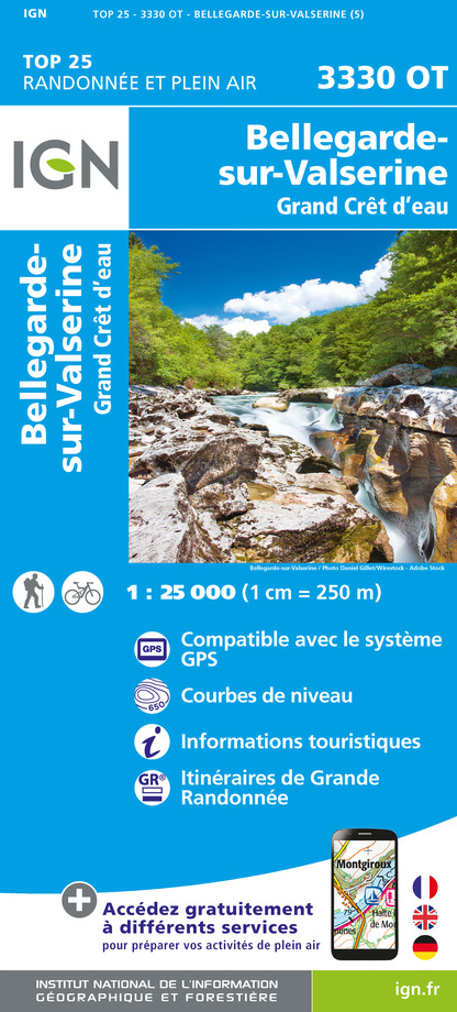
TOP 25 IGN 3330 OT - BELLEGARDE-SUR-VALSERINE / CRÊT D'EAU FOREST
Reception complements
Whatever your hike, remember to pack cereal bars, plenty of water, sunglasses, sunscreen, a small first-aid kit, and clothing appropriate to the season and weather forecast.
Guidebook with maps/step-by-step
0/ Parking lot of the church of Chênex
1/ From Parking de Chênex, head towards «Bellossy»
2/ Arrived at the directional post «Bellossy» continue your way towards «Pré Recoup»
3/ From «Pré Recoup» continue towards «Chênex par Bois du Mont», you will go through «Les Granges» and «Le Bois du Mont» before reaching your starting point in Chênex.
Animals accepted
Pets allowed on leash only.
Data author


