Alert

Alerts

To see around
See more
Open
Close
Show
Show
Show
Show
Show
Show
Show
Show
Show
Show
Show

Oups... It would appear that Cirkwi does not have permission to use your location.

Presentation
Description
Map
Ratings and reviews
See around

A cross-border loop: une boucle à saute frontière: Malagny - Sezegnin - Avusy A cross-border loop:

A cross-border loop: une boucle à saute frontière: Malagny - Sezegnin - Avusy A cross-border loop:

IGN cards
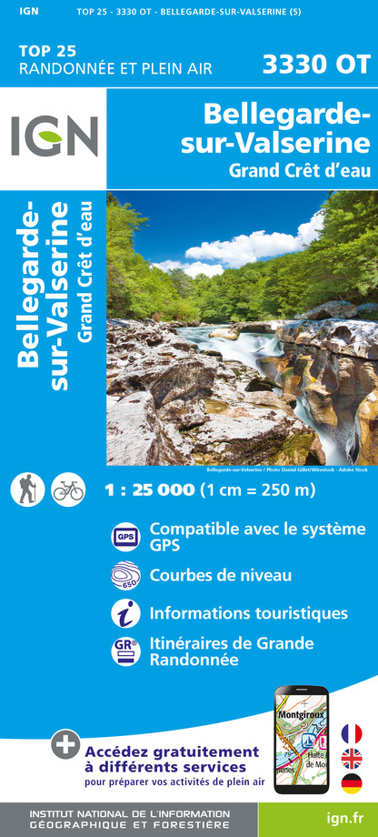
3330OT - BELLEGARDE-SUR-VALSERINE GRAND CRÊT D'EAU
Editor : IGN
Collection : TOP 25 ET SÉRIE BLEUE
Scale : 1:25 000
13.90€
3429OT - GENÈVE ANNEMASSE LE LÉMAN
Editor : IGN
Collection : TOP 25 ET SÉRIE BLEUE
Scale : 1:25 000
13.90€
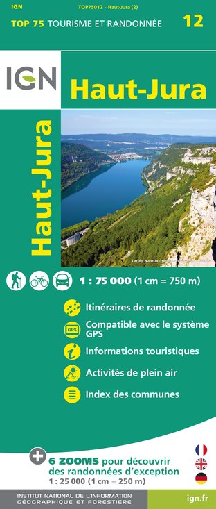
TOP75012 - HAUT-JURA
Editor : IGN
Collection : TOP 75
Scale : 1:75 000
9.80€
TOP75032 - CHAINE DES ARAVIS - MASSIF DES BAUGES
Editor : IGN
Collection : TOP 75
Scale : 1:75 000
9.80€
TOP100D74 - HAUTE-SAVOIE ANNECY THONON-LES-BAINS MASSIF DU MONT BLANC CHAÎNE DES ARAVIS
Editor : IGN
Collection : TOP 100
Scale : 1:100 000
8.40€
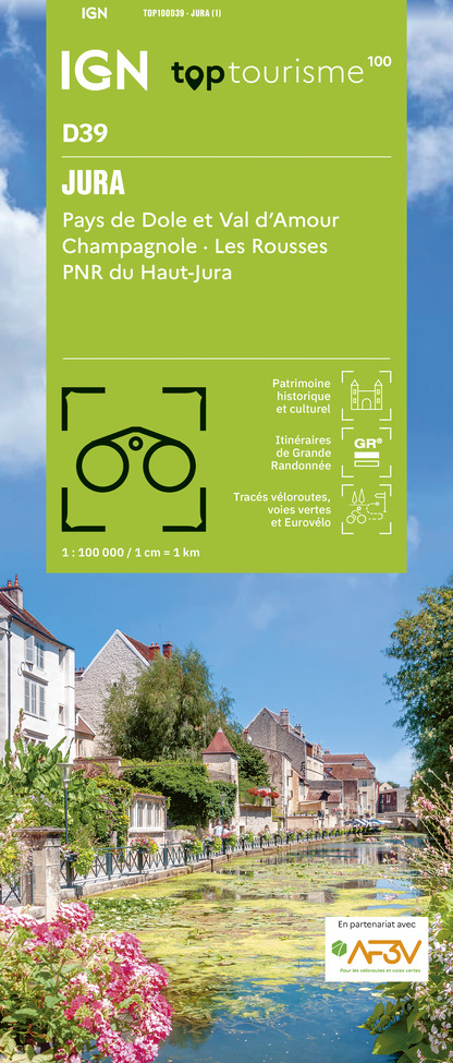
TOP100D39 - JURA PAYS DE DOLE ET VAL D'AMOUR CHAMPAGNOLE LES ROUSSES PNR DU HAUT-JURA
Editor : IGN
Collection : TOP 100
Scale : 1:100 000
8.40€
TOP100D01 - AIN BOURG-EN-BRESSE AMBÉRIEU-EN-BUGEY PAYS DE GEX
Editor : IGN
Collection : TOP 100
Scale : 1:100 000
8.40€
202 JURA ALPES DU NORD
Editor : IGN
Collection : TOP 200
Scale : 1:200 000
6.80€
89026 - GRANDES TRAVERSÉES DU JURA - GTJ
Editor : IGN
Collection : DECOUVERTE DES CHEMINS
Scale : 1:105 000
9.10€
D01-69 AIN RHÔNE
Editor : IGN
Collection : CARTES DÉPARTEMENTALES IGN
Scale : 1:150 000
5.90€
D25-39 DOUBS JURA
Editor : IGN
Collection : CARTES DÉPARTEMENTALES IGN
Scale : 1:150 000
5.90€
NR09 BOURGOGNE FRANCHE-COMTÉ
Editor : IGN
Collection : CARTES RÉGIONALES IGN
Scale : 1:250 000
6.80€
NR15 AUVERGNE-RHÔNE-ALPES RECTO/VERSO MASSIF ALPIN
Editor : IGN
Collection : CARTES RÉGIONALES IGN
Scale : 1:250 000
6.80€
NR14 AUVERGNE-RHÔNE-ALPES RECTO/VERSO MASSIF CENTRAL
Editor : IGN
Collection : CARTES RÉGIONALES IGN
Scale : 1:250 000
6.80€
SUISSE
Editor : IGN
Collection : DÉCOUVERTE DES PAYS DU MONDE IGN
Scale : 1:303 000
7.00€
EUROPE
Editor : IGN
Collection : DÉCOUVERTE DES PAYS DU MONDE IGN
Scale : 1:2 500 000
7.00€

Description

A footpath that straddles the Franco-Swiss border reveals the many hidden or forgotten faces of the architectural, historic, rural and natural heritage of the Geneva Basin.

This cross-border loop between France and Switzerland is full of surprises. Crossing twice, many discoveries await you.

Departing from the hamlet of Malagny, you will initially leave in the direction of the Swiss village of Sézegnin crossing the border for the first time. You will walk in the village for a while before walking along the vineyards until reaching Avusy and Champlong.

After crossing the border and the river of the Laire you will reach the Teppes de la Repentance and its pine forest with Mediterranean ambiances, change of atmosphere guaranteed! Natural area protected by prefectural decree, stay well on the way to respect the fauna and flora.

Before reaching Malagny and your starting point you cross the Domaine de la Tuilière, a site dedicated to high-level horseback riding.

Technical Information

Walking
Difficulty
Easy
Duration
2h40mn
Dist.
8.1 km
Show more

Altimetric profile

Starting point

Cimetière de Malagny, 179 Chemin des Grands Champs , 74580   Viry
Lat : 46.136378Lng : 6.011442

Additional information

Open period

All year round. Not recommended in bad weather. Subject to favorable weather.

Updated by

Conseil Départemental de la Haute-Savoie - 10/12/2024
www.hautesavoiexperience.fr
Report a problem

Environments

In the country
Riverside

Type of land

Stone
Ground

Topo guides and map references

Topo guides references :
Topo-Guide FFRP " Pays du Salève et du Vuache ... à pied " on sale at the Tourist Office.

Map references :
1:25,000 hiking trails map of the Pays du Vuache, IGN "Bellegarde sur Valserine" 3330 OT map,

Reception complements

Whatever your hike, remember to take cereal bars, sufficient water, sunglasses, sun cream, a small first aid kit, as well as clothes adapted to your outing according to the season and the weather forecast.

Tricky passages

The ground is slippery in places.

Guidebook with maps/step-by-step

1/ Malagny car park (cemetery) 2/ From the Malagny car park, go towards «Avusy CH», you will pass through the directional posts of «Pont de Sézegnin» in France, and «Sézegnin» in Switzerland. 3/ Arrived at «Avusy CH» continue towards «Chancy par Champlong» 4/ At the directional post “Champlong” contiuez en direction “Malagny F”, you will go through the posts “Coulouvrière”, “Gué de la Laire”, “Repentance” and “La Tuilière”. Always follow the direction of «Malagny» and you will find your starting point.

Animals accepted

Pets allowed on leash only.

Data author

Ratings and reviews

To see around
See more
Open
Close
Show
Show
Show
Show
Show
Show
Show
Show
Show
Show
Show
Caution!
We have no information on the difficulty of this circuit. You may encounter some surprises along the way. Before you go, please feel free to inquire more and take all necessary precautions. Have a good trip! 🌳🥾