Alert

Alerts

To see around
See more
Open
Close
Show
Show
Show
Show
Show
Show
Show
Show
Show
Show
Show

Oups... It would appear that Cirkwi does not have permission to use your location.

Presentation
Description
Map
Points of interest
Ratings and reviews
See around

Tour of Lac d'Annecy.GR®P. Refuge du Semnoz - Doussard (460 m). Stage 2

Tour of Lac d'Annecy.GR®P. Refuge du  Semnoz - Doussard (460 m). Stage 2

IGN cards
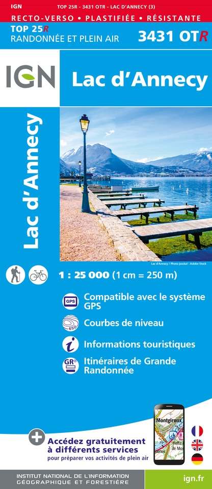
3431OTR - LAC D'ANNECY RESISTANTE
Editor : IGN
Collection : TOP 25 RÉSISTANTE
Scale : 1:25 000
17.20€
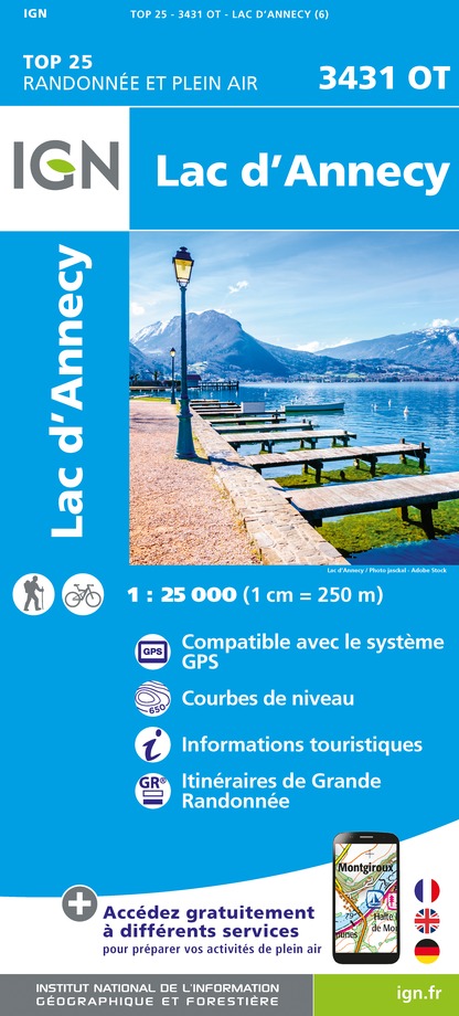
3431OT - LAC D'ANNECY
Editor : IGN
Collection : TOP 25 ET SÉRIE BLEUE
Scale : 1:25 000
13.90€
TOP75032 - CHAINE DES ARAVIS - MASSIF DES BAUGES
Editor : IGN
Collection : TOP 75
Scale : 1:75 000
9.80€
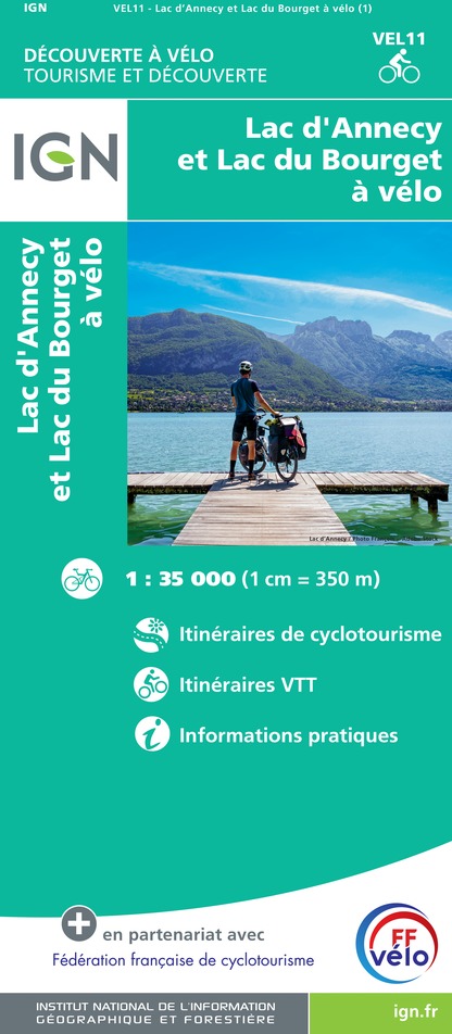
VEL11 - LAC D'ANNECY ET LAC DU BOURGET A VELO
Editor : IGN
Collection : DECOUVERTE A VELO
Scale : 1:35 000
9.10€
TOP100D73 - SAVOIE CHAMBÉRY ALBERTVILLE PARC NATIONAL DE LA VANOISE PNR DU MASSIF DES BAUGES
Editor : IGN
Collection : TOP 100
Scale : 1:100 000
8.40€
TOP100D74 - HAUTE-SAVOIE ANNECY THONON-LES-BAINS MASSIF DU MONT BLANC CHAÎNE DES ARAVIS
Editor : IGN
Collection : TOP 100
Scale : 1:100 000
8.40€
202 JURA ALPES DU NORD
Editor : IGN
Collection : TOP 200
Scale : 1:200 000
6.80€
89026 - GRANDES TRAVERSÉES DU JURA - GTJ
Editor : IGN
Collection : DECOUVERTE DES CHEMINS
Scale : 1:105 000
9.10€
D38 ISÈRE
Editor : IGN
Collection : CARTES DÉPARTEMENTALES IGN
Scale : 1:150 000
5.90€
D01-69 AIN RHÔNE
Editor : IGN
Collection : CARTES DÉPARTEMENTALES IGN
Scale : 1:150 000
5.90€
NR14 AUVERGNE-RHÔNE-ALPES RECTO/VERSO MASSIF CENTRAL
Editor : IGN
Collection : CARTES RÉGIONALES IGN
Scale : 1:250 000
6.80€
NR15 AUVERGNE-RHÔNE-ALPES RECTO/VERSO MASSIF ALPIN
Editor : IGN
Collection : CARTES RÉGIONALES IGN
Scale : 1:250 000
6.80€
EUROPE
Editor : IGN
Collection : DÉCOUVERTE DES PAYS DU MONDE IGN
Scale : 1:2 500 000
7.00€
SUISSE
Editor : IGN
Collection : DÉCOUVERTE DES PAYS DU MONDE IGN
Scale : 1:303 000
7.00€

Description

If the weather conditions are suitable, it is worth climbing a few meters above the Refuge du Semnoz to enjoy the sunrise and to take some great photos! However, don't forget that this day will be a long one!
Leave the Semnoz refuge and switch to the lake side, still in alpine pasture, and your path descends through the gentians towards the Col de Leschaux. Follow the D10 road up to the pretty little mountain pasture of the Chalets de Sollier (1451 m) below the Roc des Boeufs, whose summit ends in a tapering ridge. Go around it to the south, heading towards Doussard. This is a fairly long day. Leave your refuge early!

Technical Information

Walking
Difficulty
Not specified
Duration
8h
Dist.
28 km
Show more

Altimetric profile

Starting point

74540   Gruffy
Lat : 45.776408Lng : 6.220606

Points of interest

image du object

Réserve Naturelle Nationale du Bout du Lac d'Annecy

The Bout du Lac nature reserve is a rare, unspoilt area on the shores of Lake Annecy, inviting you to discover a protected natural area. The site is accessible to the mobility-impaired and hearing-impaired.The Bout du Lac nature reserve is a wetland area crossed by two rivers, the Eau Morte and the Ire, which feed Lake Annecy. This marshy area to the south of the lake is an exceptional habitat. Wet forests, reedbeds, wet meadows and alkaline peat bogs make up this ecosystem, offering a diversity that is conducive to the establishment of a large number of common, rare or sensitive animal and plant species. The site's major interest lies in the presence of the underwater herbarium, which supports the development of a fauna of invertebrates and fish, and also in the reed bed, which is a refuge for the common toad, a protected area for the European beaver and for the reptiles of Haute-Savoie. Breeding birds such as the reed bunting, spotted locustella and three warblers can be found in the higher parts of the reedbed. The bittern sometimes completes this list. Wintering birds (tufted duck, common pochard and ruddy duck) spend the cold season here in good conditions. Next on the list are the willow and alder thickets, the pedunculate oak woodlands, the arable and hay meadows and the gallery forests along the watercourses. The remarkable diversity of these biotopes supports a remarkable flora. Protected species include gentian pneumonanthe, snake's tongue, water ragwort, sweet-smelling orchid and Swiss woodruff.

Bout du Lac Route de la vieille Eglise 74210 Doussard
- Apidae -
Consulter

Additional information

Updated by

Conseil Départemental de la Haute-Savoie - 10/12/2024
www.hautesavoiexperience.fr
Report a problem

Guidebook with maps/step-by-step

1) From the Refuge du Semnoz, follow the same route as the day before in the opposite direction to the Chalet Nordique. Then head for Leschaux. You'll pass through Croisée du Villard and Mapa. 2) At Col de Leschaux, follow the signs for Mont Derrière, passing through La Chapelle Saint Maurice and Chalets du Sollier. 3) From Mont Derrière, head for Lathuile via Col de la Frasse 4) At the Col de la Frasse, continue towards Lathuile, passing through La Perrière (Parking), Les Brochettes and Ferme de Pontibaud. 5) At La Thuile, head for the lakeside and the Doussard landing stage, where this second stage ends.

Open period

From 15/06 to 30/09.

Data author

Ratings and reviews

To see around
See more
Open
Close
Show
Show
Show
Show
Show
Show
Show
Show
Show
Show
Show
Caution!
We have no information on the difficulty of this circuit. You may encounter some surprises along the way. Before you go, please feel free to inquire more and take all necessary precautions. Have a good trip! 🌳🥾