Alert
Alerts
Loop walk - Chollière


IGN cards


Description
One of the area’s classic family hikes! In the past, locals lived the quaint village-hamlet of Chollière during the summer grazing and hay harvesting season. Today it is a fantastic place to relax and enjoy the great outdoors.
On this itinerary, which begins among the tall spruce trees of the Isertan forest, you'll gently discover the bucolic hamlet of Chollière, set against the hillside and protected by the forest. Once inhabited during haymaking and summer pasture, the hamlet of Chollière is now a privileged place to relax. The perfect discovery hike!
Technical Information
Altimetric profile
Starting point
Date and time
- From 01/05/2026 to 30/11/2026
Additional information
Open period
From 01/05 to 30/11 daily.
Subject to favorable snow and weather conditions.
Updated by
Office de Tourisme de Pralognan-la-Vanoise - 18/08/2025
www.pralognan.com/
Report a problem
Contact
Phone : 04 79 08 79 08
Email : info@pralognan.com
Website : https://www.pralognan.com/
Facebook : https://www.facebook.com/pralognan/
Google+ : https://plus.google.com/116545272486951855082
Location complements
Nearby car park: Pont de Cavin car park
Topo guides and map references
Map references :
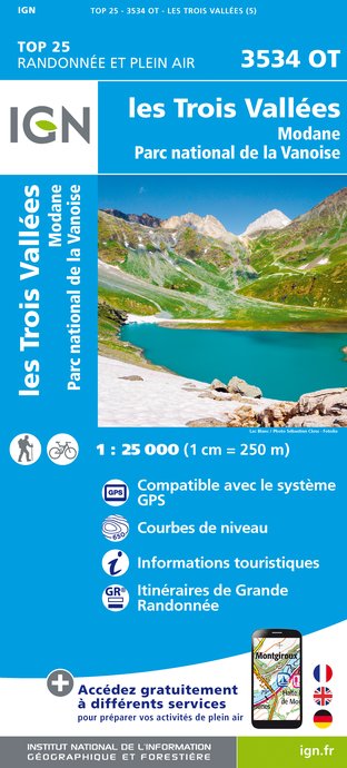
Pralognan-la-Vanoise trail map.
Type of land
Suitable for all terrain strollers
Environments
Mountain view
Mountain location
Guidebook with maps/step-by-step
1. From the entrance to "Le Chamois" campsite (do not enter the campsite), continue straight ahead until you reach the edge of the forest, where the trail turns left (trail no. 34).
2. Follow the forest track over the bridge to the hamlet of Chollière.
3. Join the route des Creux (path no. 67) or the "Écureuils" path, to reach Le Plateau and then the village center by road.
LOOP VARIANT : PONT DE GERLON (1,592 m) (very easy)+1h, +94m ascent, +3km
(in addition to the main itinerary)
Follow the previous itinerary to stage 2.
1. Follow the pastoral road (path no. 69) through the meadows to the Pont de Gerlon (the last section is shared with the departmental road), taking in the breathtaking panorama of the Grande Casse behind you.
2. On the way down, take the right bank of the Doron de Chavière. Cross the bridge and descend along the Rocher Blanc forest road (trails no. 36 and 34).
VARIATION: LES PRIOUX (1,710 m) (very easy) +1h, +120m ascent, +3.5 km round trip
(in addition to the previous variant)
At the gateway to the Vanoise National Park, the hamlet of Les Prioux, nestled in the heart of the Chavière valley, reveals all its secrets... As if to make up for the long winter months when they're cut off from the world, the houses start to talk. They tell you about life in the past and present, in tune with the seasons: mountain pastures, Beaufort cheese-making, the development of tourism, mountain trades...
Follow the previous route to stage 1.
1. Continue uphill along the pastoral road (path no. 37) to the hamlet of Les Prioux.
2. On the way down, retrace your steps to Pont de Gerlon, then cross the bridge and descend along the Rocher Blanc forest road (trails no. 36 and 34).
Animals
Yes

