Alert
Alerts
Type of practice
Walking
Medium
Presentation
Map
Cirkwi brief's
Ratings and reviews
See around
Way of Compostelle in Loiret


Credit : Halle D'Aschéres le marché
The Cirkwi brief
Discover the Scenic Loiret on the Compostelle Trail
Exploring the scenic routes from Étampes to the Loiret's boundaries reveals more than just a journey; it's an adventure presented by Compostelle 45. This unique path immerses travelers in a blend of Beauce's open landscapes, dense woodlands, and the iconic Loire River's tranquil banks. Diverging at Orléans, the trail offers the choice of pursuing either the river's lush right bank via GR3 or embarking across the GR665O on the left, encountering the majestic Cléry-Saint-André along the way. This expedition is not just a physical traversal but an exploration of serenity and historical richness intertwined.
Detailed Trail Insights
The journey spans approximately 103.7 kilometers, with elevations ranging from 79 to 140 meters, capturing a modest yet noticeable variation. With a total positive altitude change between 468 and 491 meters, the trail offers a relatively moderate physical challenge, suitable for most avid walkers. The path intentionally divides at Orléans, presenting walkers with two distinct experiences along either riverbank, before reconverging at Meung-sur-Loire. This technical dispersion allows for personal preference in scenery and difficulty, proving thoughtful planning by Compostelle 45.
Seasonal Tips for Travelers
Embarking on this journey requires mindful preparation, with each season offering unique attractions and challenges. Spring's bloom and autumn's mild temperatures are ideal, providing stunning views without the harsh extremes. However, summer's warmth necessitates sun protection and hydration. In contrast, winter, while crisp, demands sturdy footwear for slippery paths and layered clothing for varying temperatures. Regardless of the season, always inform someone of your travel plans and carry a detailed map for safety.
Historical Significance Unveiled
This trail not only connects landscapes but histories. From Méréville's Rue de la Madeleine, traversing through Loiret, adventurers walk paths laden with centuries of pilgrims' footsteps. Orléans itself, a pivotal city in France's history, offers a glimpse into Joan of Arc's heroic past. Moreover, Cléry-Saint-André's basilica stands as a monumental beacon of faith and history. The route, significant for its geographical beauty, is a living museum, encompassing the heart of the region's illustrious past and its pivotal role in French heritage.
Climate Overview and Visiting Times
Loiret enjoys a temperate climate, characterized by warm summers, mild winters, and moderate rainfall, creating an amiable backdrop for this picturesque journey. For optimal weather conditions, spring (April to June) and early autumn (September and October) are highly recommended. These periods provide comfortable temperatures for hiking and minimal rainfall, ensuring a pleasant trekking experience. Remember, the climate can influence trail conditions; hence, staying updated with local weather forecasts is wise before setting out.
Automatically generated.
IGN cards

2217SB - MÉRÉVILLE SAINVILLE
Editor : IGN
Collection : TOP 25 ET SÉRIE BLEUE
Scale : 1:25 000
13.90€

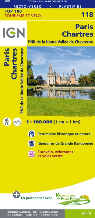
118 PARIS CHARTRES PNR DE LA HAUTE VALLÉE DE CHEVREUSE
Editor : IGN
Collection : TOP 100
Scale : 1:100 000
8.40€

D77 SEINE-ET-MARNE
Editor : IGN
Collection : CARTES DÉPARTEMENTALES IGN
Scale : 1:150 000
5.90€

D75-95 ÎLE-DE-FRANCE OUEST
Editor : IGN
Collection : CARTES DÉPARTEMENTALES IGN
Scale : 1:150 000
5.90€

D41-45 LOIR-ET-CHER LOIRET
Editor : IGN
Collection : CARTES DÉPARTEMENTALES IGN
Scale : 1:150 000
5.90€

D28 EURE-ET-LOIR
Editor : IGN
Collection : CARTES DÉPARTEMENTALES IGN
Scale : 1:150 000
5.90€

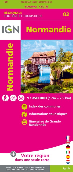
NR02 NORMANDIE
Editor : IGN
Collection : CARTES RÉGIONALES IGN
Scale : 1:250 000
6.80€

NR08 CENTRE-VAL DE LOIRE
Editor : IGN
Collection : CARTES RÉGIONALES IGN
Scale : 1:250 000
6.80€

NR03 ÍLE DE FRANCE
Editor : IGN
Collection : CARTES RÉGIONALES IGN
Scale : 1:250 000
6.80€

801 FRANCE NORD OUEST
Editor : IGN
Collection : CARTES NATIONALES IGN
Scale : 1:320 000
6.10€

EUROPE
Editor : IGN
Collection : DÉCOUVERTE DES PAYS DU MONDE IGN
Scale : 1:2 500 000
7.00€
Technical Information
Walking
Difficulty
Medium
Dist.
104 km
Type of practice
Walking
Medium
Show more
Altimetric profile
Starting point
51
Rue de la Madeleine
,
91660
Méréville
Lat : 48.32039Lng : 2.08528
Data author
Ratings and reviews
To see around
