Alert
Alerts
On foot around the Château de Reinhardstein


IGN cards
Description
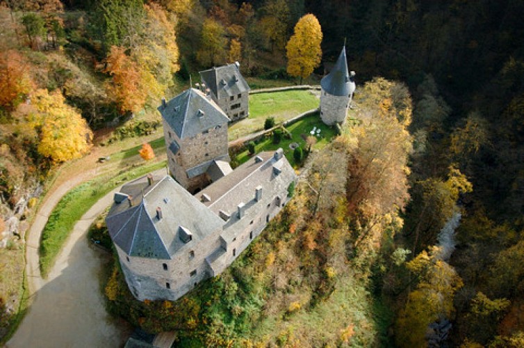
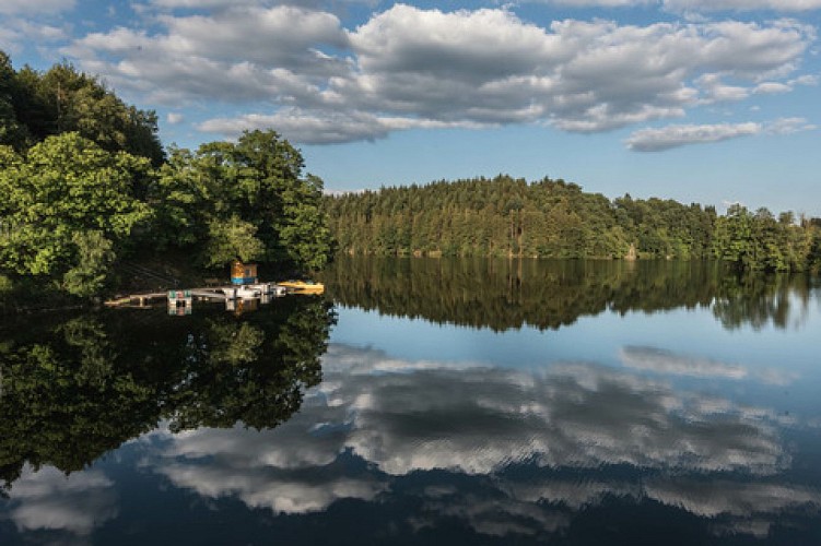
Soon after the dam, we are on a veritable donkey trail, sometimes feeling like a tightrope walker between slopes and steep inclines. In a gap, the Château de Reinhardstein reveals itself. Perched on its eagle’s nest, it seems to challenge the hikers as you have to get around it via steep paths. Following a succession of hills, the Nez de Napoléon (Napoleon’s Nose) viewpoint finally appears – a jutting rock formation which offers us a stunning vista of the Warche Valley. On the crest, the trail starts to wind and follows the meanders of the relief. The itinerary soon reaches the River Warche. Near the banks of the river, the trail enters a valley which becomes narrower and narrower. The trail now climbs uphill. This slope offers the opportunity, one last time, to enjoy the view over the wild valley, which is marked by this mighty fortress.
walloniabelgiumtourism.co.uk/en-gb/3/i-love/heritage-and-culture/parks-and-castles
Technical Information
Altimetric profile
Starting point
Points of interest
Data author


