Alert
Alerts
The Loubière plateau via Clipis


IGN cards




Description
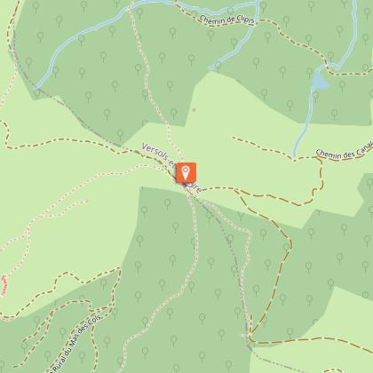
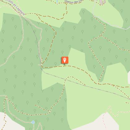
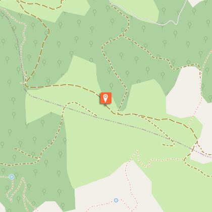
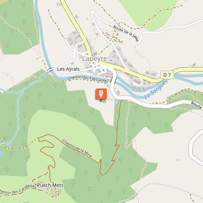
Along wooded trails, reach the Loubière plateau which is a majestic natural border between the Sorgues valley and the Rougier de Camarès and which offers some stunning views over these two landscapes. On the northeast side, the village of Lapeyre and the town of Saint-Affrique linked by the blue line of the Sorgues river.From the carpark of Lapeyre to the Croix del Pas: from the carpark head towards the village and before the bridge take left the path that runs along the river up to the old bridge. Right after the bridge, take the Bourgatte path for approximately 1km. At the junction with the logging trail turn to the left, walk above the Clipis farm and take right an ascending track towards the Croix del Pas.From the Croix del Pas to the Serre des Cabros: at the pass take the most left track, walk through a wooded area and then along a field. At the junction with the logging trail, take right for a few dozen metres a narrow footpath that leads to a scenic view over the Rougier and the castle of Montaigut. Walk back to the trail up to a signpost indicating Lapeyre.From the Serre des Cabros to Lapeyre: take the path that runs downhill through boxtrees up to the Puech Mets road. Turn to the right and follow the road until the junction with the D92. Take opposite a path that goes downhill and passes nearby a building. Reach the old track connecting Lapeyre to Sylvanès that runs along the Fon Rouge brook. Once at the D92, take opposite a path that goes downhill across woodlands allowing you to get back to the road near Lapeyre.
Technical Information
Altimetric profile
Starting point
Steps
Points of interest
Additional information
Advised parking
Cimetary carpark
Public transport
Travel by bus or train: lio.laregion.fr/carpooling : BlaBlaCar, Rézo Pouce, Mobicoop, Idvroom, LaRoueVerte, Roulez malin
Access
From Saint-Affrique, follow the D7 towards Cornus. Once in Lapeyre, which is the first village you drive through, turn right towards Gissac and park your vehicle next to the graveyard.
Ambiance
On the northeast side, the village of Lapeyre and the town of Saint-Affrique linked by the blue line of the Sorgues river. On the southwest side, the small valleys and red soils of the Camarès area, the proud-looking castle of Montaigut standing on its hilltop. The Loubière plateau with its vast stretches of fields and undergrowth gives you the assurance of enjoying wonderful panoramic views wherever you look!
Arrival
Lapeyre
Departure
Lapeyre
Data author

