Alert
Alerts
Hiking : Viuz's Roc


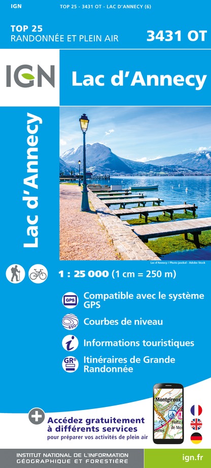
IGN cards


Description
From the valley, looking this mountain you can see a shark's head... but after 2h30 of walking, from up there, you will see mountain's summit of the Bauges, Charvin Mountain, Dent de Cons and La Sambuy mountain.
Technical Information
Altimetric profile
Starting point
Points of interest
Additional information
Updated by
Office de Tourisme des Sources du Lac d'Annecy - 04/07/2024
www.sources-lac-annecy.com
Report a problem
Guidebook with maps/step-by-step
1/ The start : At St Ferreol, take the road direction Thônes, on the left, towards to the hamlet La Côte direction to Lavanche.
2/ Follow a path to the Solliet's Grange (alt. 990m), to the Solliet, continue with the path on the left into the forest. Some steep slopes untill the forest's heart. At the crossroad take onto the right.
3/ You are Arrived to the Viuz's Roc. The back will be with the same path, then a forest trail in laces untill the Grange des Teppes. The path trough under the Grange and come back to Lavanche.
Open period
From 01/01 to 31/12.
Contact
Phone : 04 50 44 60 24


