Alert
Alerts
LA MANUFACTURE ROUTE

IGN cards
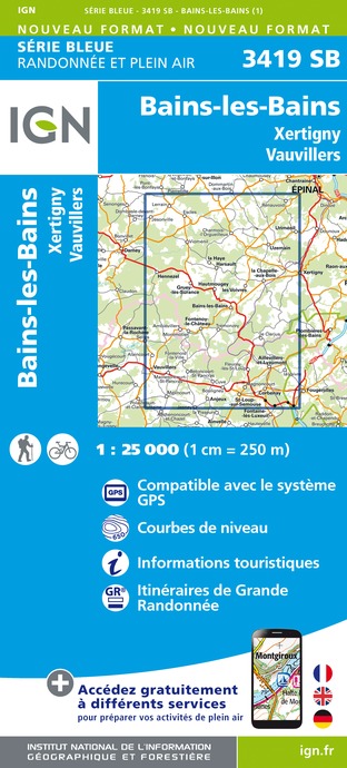





Description
Thanks to the Club Vosgien and the walking section of the MJC of Bains-les-Bains for the creation of this hike and for the work done by its teams throughout the year to mark out and maintain these paths.
Blue ring marking - Varied trail - At the Rue de la Pavée near the camping area, follow the small marked path. Continue on this path until you cross the Rue des Anciens Moulins. The big building in front of you is an old wire drawing mill.
Wire drawing is the process of reduction of the cross-section of a metal wire by mechanical traction on a drawing machine. Factories that specialise in wire drawing are called wire drawing mills. Turn left to continue along Rue des Anciens Moulins. Follow the markings to a small path in the forest. You come to a crossroads, turn right. You will come to another crossroads, turn right again.
The road you are taking was the old road used by the inhabitants of Trémonzey to get to work in the factory, the mills, the wire drawing mill... You will arrive at the Moulin au bois, a former nail factory.
This metallurgical factory, known as the Moulins-aux-Bois forge in the 16th century, then became a hardware factory (nails) in the 19th century. It definitely closed in 1980. The film "Indigène" by Rachid Bouchared was shot in this area. The film takes place in 1943, when France is trying to free itself from Nazi domination. It follows the journey of four "natives", forgotten soldiers of the 1st French army recruited in Africa. Cross the D434 to continue straight ahead over a bridge. You will walk along the Canal des Vosges and the river Le Côney, then cross a wooden bridge. Continue on this road and you will see the Manufacture on your left, then the beech tree opposite the Châtelet. Take the straight road on the left (possibility of a path through the wood on the left, to be avoided in wet weather). Following the markings, cross the road carefully and go up on the right by a stone path, an old Roman road.
Technical Information
Altimetric profile
Starting point
Additional information
Contact
Tel : 03 29 36 31 75
Email : tourisme.lavogelesbains@epinal.fr
Site web : www.tourisme-epinal.com/sejourner/nos-circuits/circuit-de-la-manufacture-la-voie-romaine-2258898
Producteur de la donnée
Ces informations sont issues de la plateforme SITLOR - Système d’Information Touristique - Lorraine
Elles sont synchronisées dans le cadre du partenariat entre Cirkwi, l’Agence régionale du Tourisme Grand Est et les membres du comité technique de Sitlor.
Data author
