Alert
Alerts
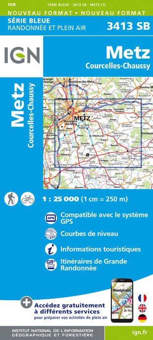
VTT EN SUD MESSIN


IGN cards


Description
This mountain bike/cycling route is ideal for families to discover the south of Metz, between the Seille and Bois de l'Hôpital. Most of the route is on its own site and you will ride quietly through woods and meadows using old railway tracks or former military roads, which have now been converted for leisure activities.
Technical Information
Altimetric profile
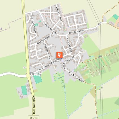
Starting point
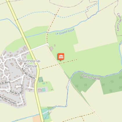
Points of interest
Additional information
Producteur de la donnée
Ces informations sont issues de la plateforme SITLOR - Système d’Information Touristique - Lorraine
Elles sont synchronisées dans le cadre du partenariat entre Cirkwi, l’Agence régionale du Tourisme Grand Est et les membres du comité technique de Sitlor.
Contact
Tel : 03 87 39 00 00
Email : tourisme@inspire-metz.com
Data author
