Alert

Alerts

To see around
See more
Open
Close
Show
Show
Show
Show
Show
Show
Show
Show
Show
Show
Show

Oups... It would appear that Cirkwi does not have permission to use your location.

Presentation
Description
Map
Ratings and reviews
See around

Mountain bike trail "Les versants de l'Auzance"
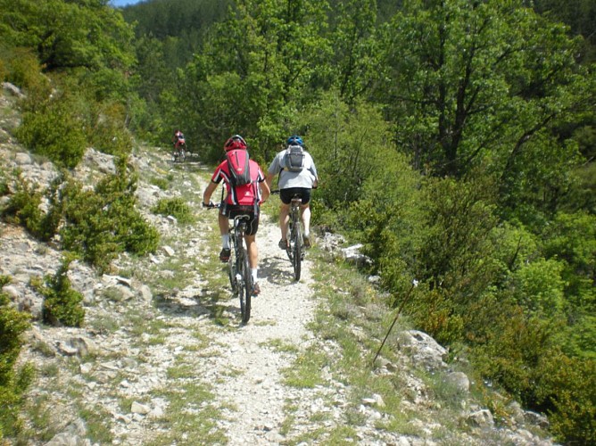
Mountain bike trail "Les versants de l'Auzance"
Credit : Office de Tourisme Sisteron Buëch

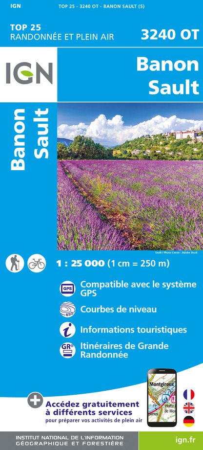
IGN cards

3240OT - BANON SAULT PLATEAU DE SAINT-CHRISTOL
Editor : IGN
Collection : TOP 25 ET SÉRIE BLEUE
Scale : 1:25 000
13.90€
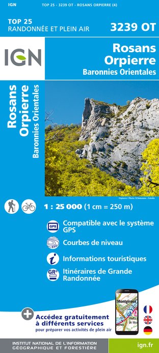
3239OT - ROSANS ORPIERRE BARONNIES ORIENTALES
Editor : IGN
Collection : TOP 25 ET SÉRIE BLEUE
Scale : 1:25 000
13.90€
3339OT - SISTERON LARAGNE-MONTEGLIN MONTAGNE DE CHABRE
Editor : IGN
Collection : TOP 25 ET SÉRIE BLEUE
Scale : 1:25 000
13.90€
VEL01 - LA DRÔME A VELO
Editor : IGN
Collection : DECOUVERTE A VELO
Scale : 1:105 000
9.10€
VEL03 - LE VAUCLUSE A VÉLO
Editor : IGN
Collection : DECOUVERTE A VELO
Scale : 1:100 000
9.10€
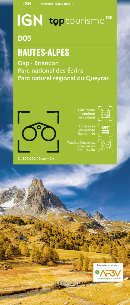
TOP100D05 - HAUTES-ALPES GAP BRIANÇON PARC NATIONAL DES ÉCRINS PARC NATUREL RÉGIONAL DU QUEYRAS
Editor : IGN
Collection : TOP 100
Scale : 1:100 000
8.40€
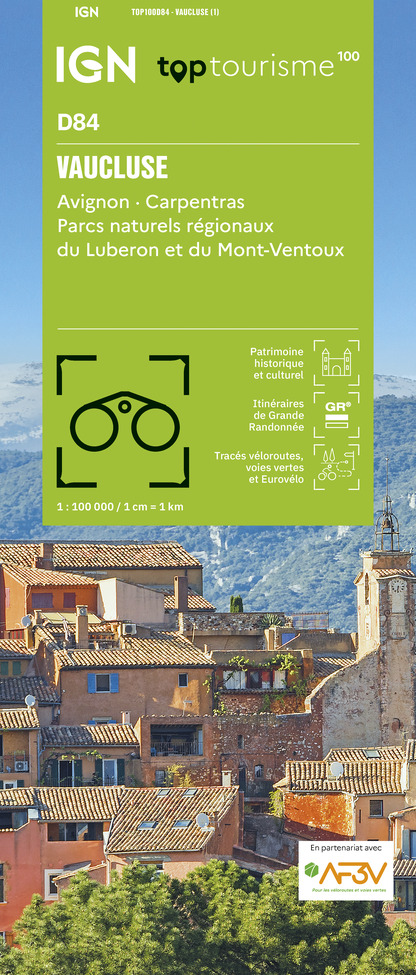
TOP100D84 - VAUCLUSE AVIGNON CARPENTRAS PARCS NATURELS RÉGIONAUX DU LUBERON ET DU MONT-VENTOUX
Editor : IGN
Collection : TOP 100
Scale : 1:100 000
8.40€
TOP100D04 - ALPES-DE-HAUTE-PROVENCE DIGNE MANOSQUE PNR DU VERDON LAC DE SERRE-PONÇON
Editor : IGN
Collection : TOP 100
Scale : 1:100 000
8.40€
TOP100D26 - DRÔME VALENCE MONTÉLIMAR DIE PNR DES BARONNIES PROVENÇALES PNR DU VERCORS
Editor : IGN
Collection : TOP 100
Scale : 1:100 000
8.40€
D04-05 ALPES-DE-HAUTE-PROVENCE HAUTES-ALPES
Editor : IGN
Collection : CARTES DÉPARTEMENTALES IGN
Scale : 1:150 000
5.90€
D83 VAR
Editor : IGN
Collection : CARTES DÉPARTEMENTALES IGN
Scale : 1:150 000
5.90€
D13-84 BOUCHES-DU-RHÔNE VAUCLUSE
Editor : IGN
Collection : CARTES DÉPARTEMENTALES IGN
Scale : 1:150 000
5.90€
D07-26 ARDÈCHE DRÔME
Editor : IGN
Collection : CARTES DÉPARTEMENTALES IGN
Scale : 1:150 000
5.90€
NR15 AUVERGNE-RHÔNE-ALPES RECTO/VERSO MASSIF ALPIN
Editor : IGN
Collection : CARTES RÉGIONALES IGN
Scale : 1:250 000
6.80€
NR16 PROVENCE-ALPES-CÔTE D'AZUR
Editor : IGN
Collection : CARTES RÉGIONALES IGN
Scale : 1:250 000
6.80€
NR14 AUVERGNE-RHÔNE-ALPES RECTO/VERSO MASSIF CENTRAL
Editor : IGN
Collection : CARTES RÉGIONALES IGN
Scale : 1:250 000
6.80€
EUROPE
Editor : IGN
Collection : DÉCOUVERTE DES PAYS DU MONDE IGN
Scale : 1:2 500 000
7.00€

Description

This track leads to Lachau, and lets you discover Notre Dame de Calma after a steep descent. This track has numerous changes in pace and an ascent toward the "Château".

At the parking lot take the road to the village.
At the stop sign, go forward between the houses, you can fill your gourds at a fountain on the left.
Cross the small ford and follow along the torrent on the right.
Ford : on the road go left.
Just before the ford take a left on a small trail.
Forest path : go right.
Take the road on the right going down toward the road.
Go up the road on the left.
Cross the small bridge, the road becomes a path going on the right of a farm.
Take the second left at the foot of the farm on a small dirt path going up.
At the mountain pass, go right on a small grass path.
At the fork, just before the ford, go left on the road along the river.
At the small bridge, take a left at the N.D. de Calma chapel (XIIth century).
Follow the path on the right between the two houses.
Go by the BTP storehouses and proceed forward.
Cross the bridge on the left then the small road going up forward.
Before the house, turn right.
Go off the road, then onto another going up on the left.
At the small pass at the foot of the Chauver, a trail start around the small valley.
At the turn take the trail in front.
At a flat area turn left and follow along the field to reach the trail of the pass.
Araud's Pass : go down on the right.
Proceed forward up the Les Peyres valley.
At the fork before Les Damias, turn right at the road going up toward the Saint Pierre pass.
At the turn, take the mountain path on the right, then enter Eourres.
A small fountain and a bench are here to have a break.
At the calvary, go down on the right until the parking lot.

Technical Information

Mountainbiking
Difficulty
Hard
Dist.
23 km
Show more

Altimetric profile

Starting point

05300   Éourres
Lat : 44.213362Lng : 5.698618

Additional information

Contact

Phone : 04 92 65 09 38

Email : laragne@sisteron-buech.fr

Website :
www.sisteron-buech.fr
rando.sisteron-buech.fr

Open period

All year round.

Subject to favorable weather.

Updated by

Office de Tourisme Sisteron Buëch - 29/04/2022
www.sisteron-buech.fr

Ratings and reviews

To see around
See more
Open
Close
Show
Show
Show
Show
Show
Show
Show
Show
Show
Show
Show
Caution!
We have no information on the difficulty of this circuit. You may encounter some surprises along the way. Before you go, please feel free to inquire more and take all necessary precautions. Have a good trip! 🌳🥾