Alert
Alerts
Entre vignes et clochers route

IGN cards
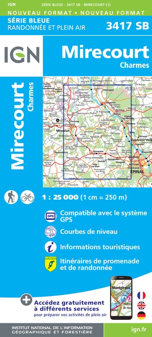





Description
Thanks to the FRPP for the creation of this hike and for the work done by its teams throughout the year to mark out and maintain these paths.
A panoramic path with magnificent views of the Moselle Valley, the blue line of the Vosges, the Colline de Sion and the Saintois. There are also many cultural and natural attractions to discover: churches, wash houses, fountains, the Canal de l'Est, ponds and the Moselle.
This looping trail can start at various places: at the car park of the Les Iles campsite in Charmes, at the car park of the Socourt village hall, on the Place des Chanoinesses in Avrainville or in front of the town hall in Florémont. This circuit is marked with a red disc.
From the campsite in Charmes, follow the Canal de l'Est which leads you to the Paquis ponds. Then, cross the D157 and you will arrive in the charming village of Socourt. As you climb the slope of the path leading to the heights of the village, you can enjoy a magnificent view of the Moselle valley, the Canal de l'Est and the neighbouring villages.
As you keep walking, you will gradually discover the surrounding nature, with its local flora and fauna, which is worth looking at. After passing over the RN 57, continue on your way to Avrainville. As you enter this village, take time to look at the fountains and old farmhouses that make up the village. Then, by taking the rue Eugène Jeandin, you will head towards Florémont, a charming village built into the hillside. Here again, you can discover old buildings, such as the Church of Saint Basle from 1789, but also a presbytery, a stone wash house and a crossroads cross from the 15th century.
Finally, by taking the hillside path, you will cross the RN 57 again, to return to the town of Charmes, passing by old spinning mills. You will then return to the starting point.
Technical Information
Altimetric profile
Starting point
Additional information
Producteur de la donnée
Ces informations sont issues de la plateforme SITLOR - Système d’Information Touristique - Lorraine
Elles sont synchronisées dans le cadre du partenariat entre Cirkwi, l’Agence régionale du Tourisme Grand Est et les membres du comité technique de Sitlor.
Contact
Tel : 03 29 66 01 86
Site web : www.tourisme-epinal.com/sejourner/nos-circuits/circuit-entre-vignes-et-clochers-2083785
Data author


