Alert
Alerts
Circuit la Basse du pommier

IGN cards
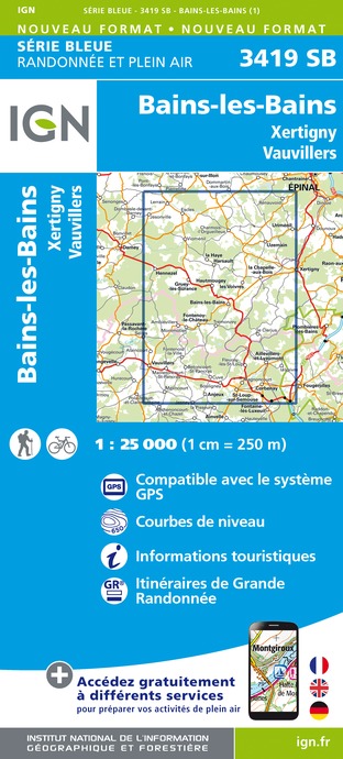







Description
Thanks to the Club Vosgien and the walking section of the MJC of Bains-les-Bains for the creation of this hike and for the work done by its teams throughout the year to mark out and maintain these paths.
The route is marked by a red ring in both directions.
Via a small country road, this picturesque route offers a very changeable rural setting. A path enters a damp undergrowth and leads to the River Coney, which is crossed by an unusual footbridge. Then the Eastern Canal leads to the old Roman road, which is the way back.
Technical Information
Altimetric profile
Starting point
Additional information
Contact
Tel : 03 29 36 31 75
Email : tourisme.lavogelesbains@epinal.fr
Site web : www.tourisme-epinal.com/sejourner/nos-circuits/circuit-la-basse-du-pommier-2094141
Producteur de la donnée
Ces informations sont issues de la plateforme SITLOR - Système d’Information Touristique - Lorraine
Elles sont synchronisées dans le cadre du partenariat entre Cirkwi, l’Agence régionale du Tourisme Grand Est et les membres du comité technique de Sitlor.
Data author
