Alert

Alerts

To see around
See more
Open
Close
Show
Show
Show
Show
Show
Show
Show
Show
Show
Show
Show

Oups... It would appear that Cirkwi does not have permission to use your location.

Presentation
Description
Map
Points of interest
Ratings and reviews
See around

LE XERTIGNY TOUR

LE XERTIGNY TOUR
Credit : Xertigny en transition

IGN cards

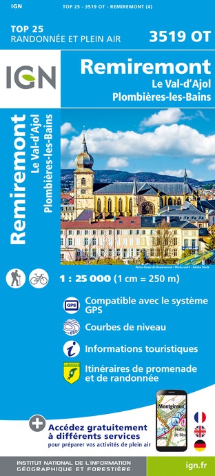
3519OT - REMIREMONT LE VAL-D'AJOL PLOMBIÈRES-LES-BAINS
Editor : IGN
Collection : TOP 25 ET SÉRIE BLEUE
Scale : 1:25 000
13.90€
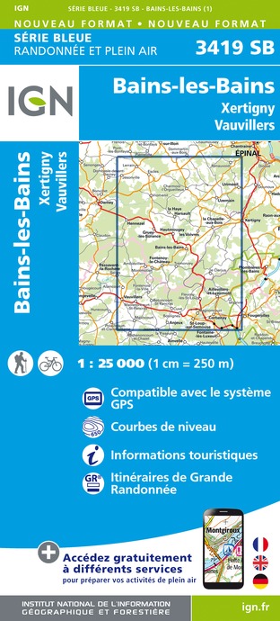
3419SB - BAINS-LES-BAINS XERTIGNY VAUVILLIERS
Editor : IGN
Collection : TOP 25 ET SÉRIE BLEUE
Scale : 1:25 000
13.90€
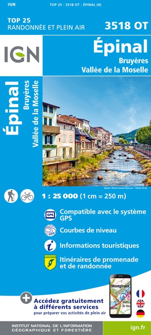
3518OT - ÉPINAL BRUYÈRES VALLÉE DE LA MOSELLE
Editor : IGN
Collection : TOP 25 ET SÉRIE BLEUE
Scale : 1:25 000
13.90€
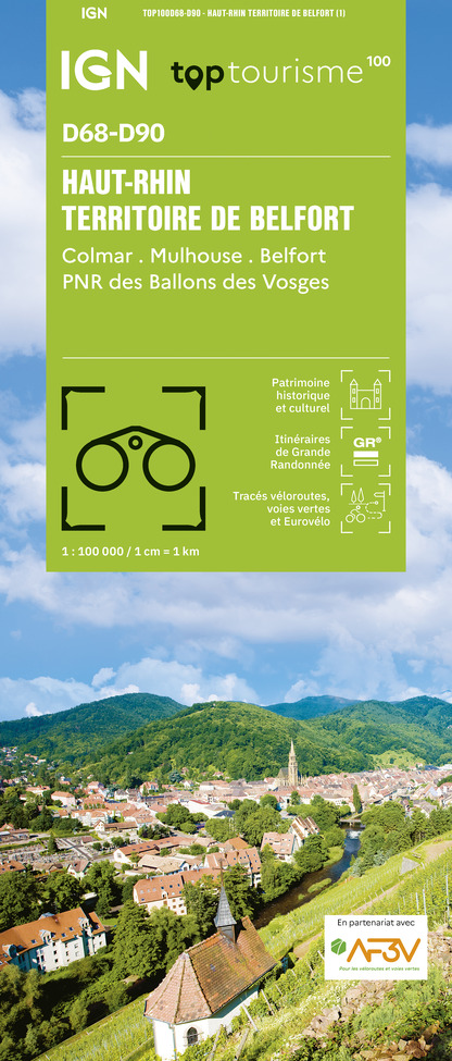
TOP100D68 - HAUT-RHIN TERRITOIRE DE BELFORT COLMAR MULHOUSE BELFORT PNR DES BALLONS DES VOSGES
Editor : IGN
Collection : TOP 100
Scale : 1:100 000
8.40€
TOP100D70 - HAUTE-SAÔNE VESOUL LURE VALLÉE DE LA SAÔNE
Editor : IGN
Collection : TOP 100
Scale : 1:100 000
8.40€
130 VESOUL LANGRES VALLÉE DE LA SAÔNE
Editor : IGN
Collection : TOP 100
Scale : 1:100 000
8.40€
TOP100D88 - VOSGES ÉPINAL NEUFCHÂTEAU ST-DIÉ-DES-VOSGES GÉRARDMER PNR DES BALLONS DES VOSGES
Editor : IGN
Collection : TOP 100
Scale : 1:100 000
8.40€
121 NANCY ÉPINAL VALLÉE DE LA MOSELLE
Editor : IGN
Collection : TOP 100
Scale : 1:100 000
8.40€
201 ALSACE MASSIF DES VOSGES
Editor : IGN
Collection : TOP 200
Scale : 1:200 000
6.80€
D70-88-90 HAUTE-SAÔNE VOSGES TERRITOIRE DE BELFORT
Editor : IGN
Collection : CARTES DÉPARTEMENTALES IGN
Scale : 1:150 000
5.90€
D67-68 BAS-RHIN HAUT-RHIN
Editor : IGN
Collection : CARTES DÉPARTEMENTALES IGN
Scale : 1:150 000
5.90€
NR09 BOURGOGNE FRANCHE-COMTÉ
Editor : IGN
Collection : CARTES RÉGIONALES IGN
Scale : 1:250 000
6.80€
EUROPE
Editor : IGN
Collection : DÉCOUVERTE DES PAYS DU MONDE IGN
Scale : 1:2 500 000
7.00€
ALLEMAGNE
Editor : IGN
Collection : DÉCOUVERTE DES PAYS DU MONDE IGN
Scale : 1:800 000
7.00€

Description

This route has been designed to present the whole area by getting as close as possible to its geographical and altimetric limits. The hikers have two alternatives: either they take up the challenge of covering it all in one go, or they prefer to enjoy it in stages, taking advantage of the accommodation along the way. In both cases, you have the possibility of discovering a territory rich in history, hills and various natural beauties. To be enjoyed with abandon.
Departure from the car park of the Rasey multi-activity hall:
1. Go up the cone to Fauquemont.
2. Climb and walk along the ridge to Moyenpal.
3. Cross the Tillonhaye massif to the Viaduct.
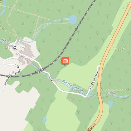
4. Follow the fish farm up the Cône to "la Torèle".
5. Join and cross the Fays Richard.
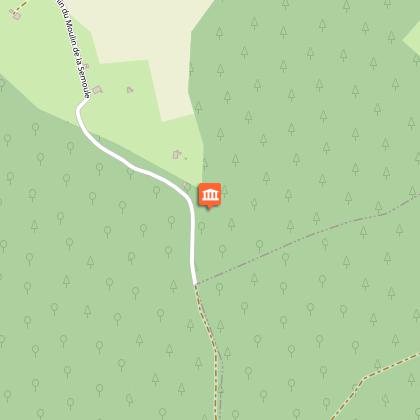
6. Pass the Rechentreux massif to the Semoule mill.
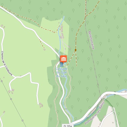
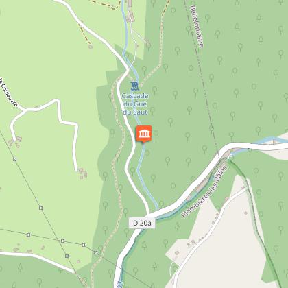
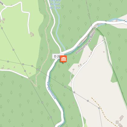
7. Refresh yourself at the Gueu du Saut waterfall and join the Semouse.
8. Go up to Débans and cross the Fays Duquin.
9. Walk along the land of Aulnouses
10. Go down the côte d'Amerey
11. Walk through the agricultural land of La Chapelle aux Bois
12. Overlooking the Coney, the historic Mediterranean - North Sea corridor.

Unlike the other routes which are numbered from 1 to 14, the ''Xertigny tour'' is marked with the specific XT logo

Technical Information

Walking
Difficulty
Hard
Duration
11h (1d)
Dist.
45 km
Show more

Altimetric profile

Starting point

331 RUE DE L'EGLISE PARKING SALLE MULTI ACTIVITE RASEY , 88220   XERTIGNY
Lat : 48.0447238Lng : 6.4048244

Points of interest

Additional information

Producteur de la donnée

Ces informations sont issues de la plateforme SITLOR - Système d’Information Touristique - Lorraine
Elles sont synchronisées dans le cadre du partenariat entre Cirkwi, l’Agence régionale du Tourisme Grand Est et les membres du comité technique de Sitlor.

Ratings and reviews

To see around
See more
Open
Close
Show
Show
Show
Show
Show
Show
Show
Show
Show
Show
Show
Caution!
We have no information on the difficulty of this circuit. You may encounter some surprises along the way. Before you go, please feel free to inquire more and take all necessary precautions. Have a good trip! 🌳🥾