Alert

Alerts

To see around
See more
Open
Close
Show
Show
Show
Show
Show
Show
Show
Show
Show
Show
Show

Oups... It would appear that Cirkwi does not have permission to use your location.

Presentation
Description
Map
Ratings and reviews
See around

CIRCUIT LA NEUVE FORGE XT N4

CIRCUIT LA NEUVE FORGE XT N4
Credit : Xertigny en Transition

IGN cards

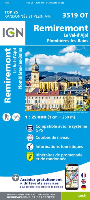
3519OT - REMIREMONT LE VAL-D'AJOL PLOMBIÈRES-LES-BAINS
Editor : IGN
Collection : TOP 25 ET SÉRIE BLEUE
Scale : 1:25 000
13.90€
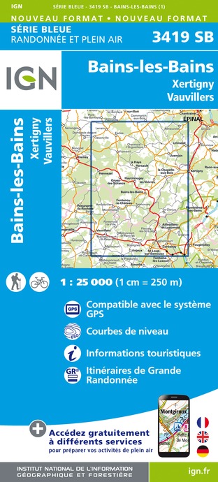
3419SB - BAINS-LES-BAINS XERTIGNY VAUVILLIERS
Editor : IGN
Collection : TOP 25 ET SÉRIE BLEUE
Scale : 1:25 000
13.90€
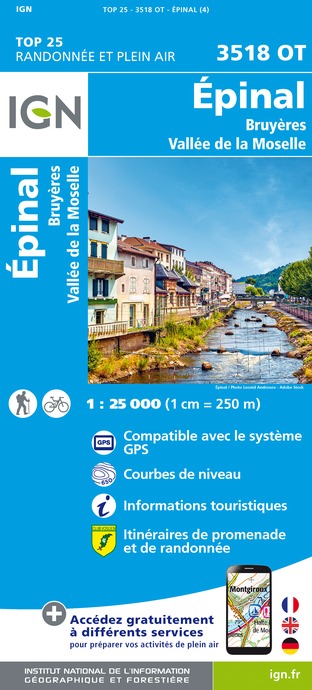
3518OT - ÉPINAL BRUYÈRES VALLÉE DE LA MOSELLE
Editor : IGN
Collection : TOP 25 ET SÉRIE BLEUE
Scale : 1:25 000
13.90€
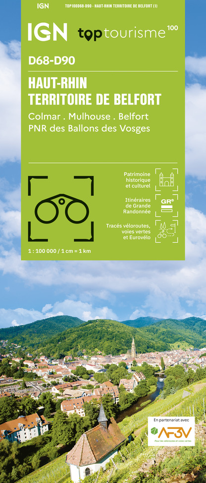
TOP100D68 - HAUT-RHIN TERRITOIRE DE BELFORT COLMAR MULHOUSE BELFORT PNR DES BALLONS DES VOSGES
Editor : IGN
Collection : TOP 100
Scale : 1:100 000
8.40€
TOP100D70 - HAUTE-SAÔNE VESOUL LURE VALLÉE DE LA SAÔNE
Editor : IGN
Collection : TOP 100
Scale : 1:100 000
8.40€
130 VESOUL LANGRES VALLÉE DE LA SAÔNE
Editor : IGN
Collection : TOP 100
Scale : 1:100 000
8.40€
TOP100D88 - VOSGES ÉPINAL NEUFCHÂTEAU ST-DIÉ-DES-VOSGES GÉRARDMER PNR DES BALLONS DES VOSGES
Editor : IGN
Collection : TOP 100
Scale : 1:100 000
8.40€
121 NANCY ÉPINAL VALLÉE DE LA MOSELLE
Editor : IGN
Collection : TOP 100
Scale : 1:100 000
8.40€
201 ALSACE MASSIF DES VOSGES
Editor : IGN
Collection : TOP 200
Scale : 1:200 000
6.80€
D70-88-90 HAUTE-SAÔNE VOSGES TERRITOIRE DE BELFORT
Editor : IGN
Collection : CARTES DÉPARTEMENTALES IGN
Scale : 1:150 000
5.90€
D67-68 BAS-RHIN HAUT-RHIN
Editor : IGN
Collection : CARTES DÉPARTEMENTALES IGN
Scale : 1:150 000
5.90€
NR09 BOURGOGNE FRANCHE-COMTÉ
Editor : IGN
Collection : CARTES RÉGIONALES IGN
Scale : 1:250 000
6.80€
EUROPE
Editor : IGN
Collection : DÉCOUVERTE DES PAYS DU MONDE IGN
Scale : 1:2 500 000
7.00€
ALLEMAGNE
Editor : IGN
Collection : DÉCOUVERTE DES PAYS DU MONDE IGN
Scale : 1:800 000
7.00€

Description

Thanks to the FFRandonnée and the village of Xertigny for the creation of this hike and for the work done by its teams throughout the year to mark out and maintain these paths. Marking: yellow rectangle no. 4
This mainly country path also allows you to explore forest paths with ponds and rivers, pastureland and vast areas of cereal crops, with panoramic views.
The trail constantly connects the valleys of three rivers: the Cône, the Aître and the Coney.
Park at the village hall in the centre of the hamlet of Rasey. The trail can be done in both directions, following the markings 04. It is mostly pretty forest paths going along the banks of the stream, and a few stretches of farmland on the higher ground.
An area in the undergrowth can be wet. At the place called "sous la côte" near Rasey, the last house is a Private property and has a vicious dog! (the dog is tied up and passage is allowed)

Technical Information

Walking
Difficulty
Very easy
Duration
2h45mn (1d)
Dist.
12 km
Show more

Altimetric profile

Starting point

Départ Salle multiactivité rue de l'eglise - Rasey , 88220   XERTIGNY
Lat : 48.0447238Lng : 6.4048244

Additional information

Producteur de la donnée

Ces informations sont issues de la plateforme SITLOR - Système d’Information Touristique - Lorraine
Elles sont synchronisées dans le cadre du partenariat entre Cirkwi, l’Agence régionale du Tourisme Grand Est et les membres du comité technique de Sitlor.

Ratings and reviews

To see around
See more
Open
Close
Show
Show
Show
Show
Show
Show
Show
Show
Show
Show
Show
Caution!
We have no information on the difficulty of this circuit. You may encounter some surprises along the way. Before you go, please feel free to inquire more and take all necessary precautions. Have a good trip! 🌳🥾