Alert
Alerts


Randonnée Le Sentier de la Mer


IGN cards


Description
From the hilltop village, the path leads you to the sea, offering remarkable views of the Gulf of Saint-Tropez. You arrive at the Marines de Gassin and its shops passing near the Bourrian wineyard estate and the Stud / Polo Club.
The return path is accessible to hikers, mountain bikers and riders who will appreciate the breathtaking view of the Gulf of Saint-Tropez.
This beautiful airy and shaded track offers you a glimpse of the diversity of the Gassin flora (pine forest, vineyard, oaks, broom, laurels).
You can enjoy the beach and swimming (supervised in season) before your return.
Practical information :
In summer, be sure to inform yourself before your departure that the trail is not closed because of the fire risk (information on the Var prefecture website or at the tourist office).
You will find a small watch on your route that you can bypass if necessary by taking a path a little further to the right.
Also be careful during hunting not to take the trail if it is blocked.
Be careful when crossing country roads without a protected passage.
The path allows you to join the protected multimodal track to reach Port Grimaud on your left and Saint-Tropez on your right.
Course:
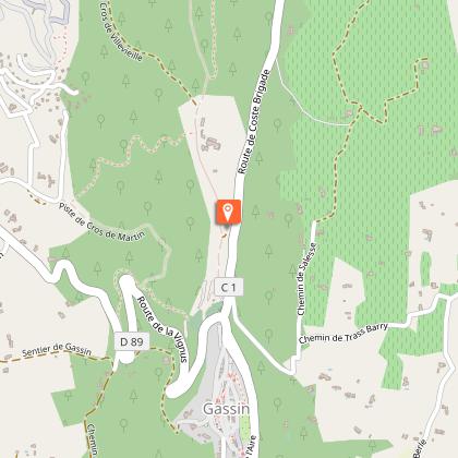
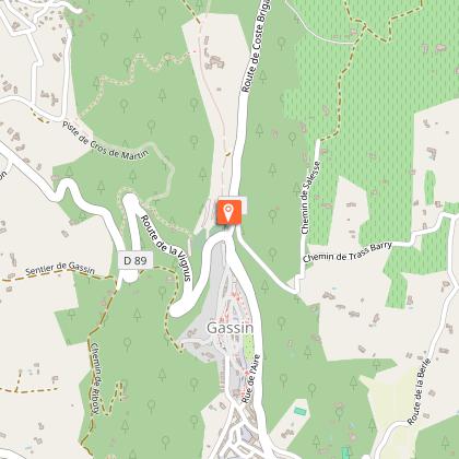
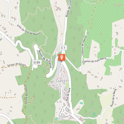
• from Place Louis Collomp, descend towards the cemetery and go around it on the left (passage in front of the monument to Saint Joseph) by following the sign "Villevieille";
• take the path on the left (50 m) then follow the Villevieille track;
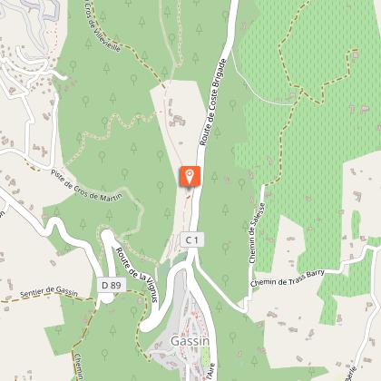
• follow this track for 2.5 kilometers (you pass near the Brûlat mill and then the Heraklée villa, former property of Gunther Sachs when it conquered the heart of Brigitte Bardot);
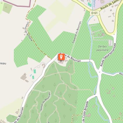
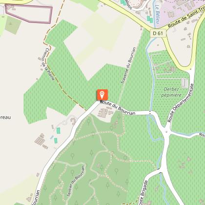
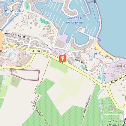
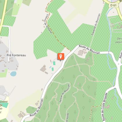
• cross the Bourrian road and find a path a few meters on your left which, after a lookout, takes you to Chemin de la Plaine, through the vineyards of the Bourrian domain (1.15 km);
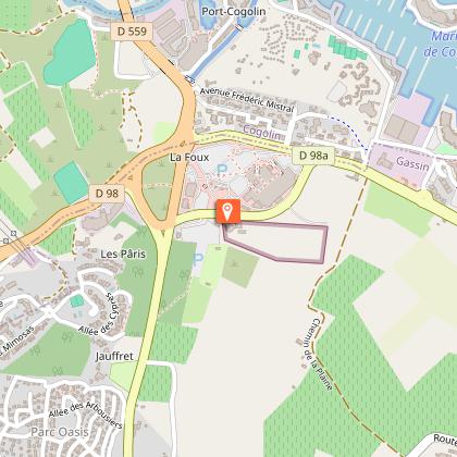
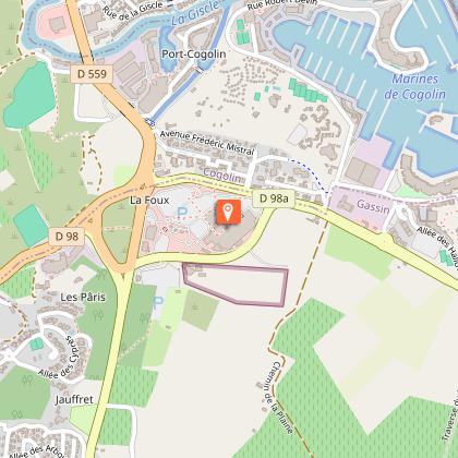
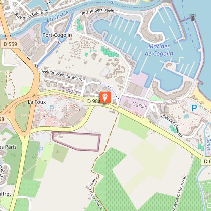
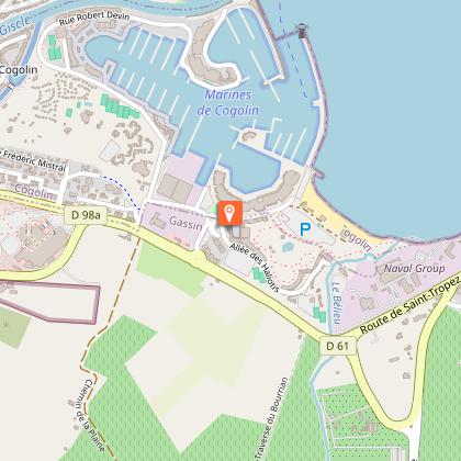
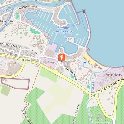
• arrived at the RD98a near Interhome, follow the sidewalk on your right (170 m) (Note: the La Foux shopping center is on your left about 300 m).
• turn left at the roundabout towards the Marines de Gassin (180 m);
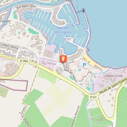
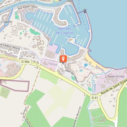
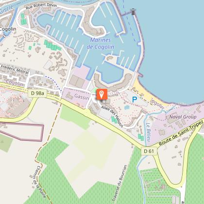
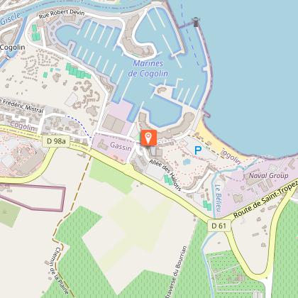
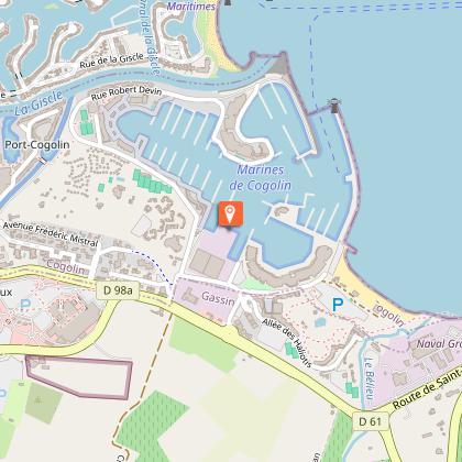
• at the second roundabout, go straight past the shops of the Marines de Gassin (Bar-tabac des Marines, Tour de Pizz ', Ciao Belli; on Place Le Pitchoun, Sandrée Coiffure, the May Flower laundromat) ;
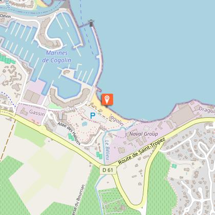
• you can then continue to the beach (200 meters on the right). You will find the Marines and the port of Cogolin on your left.
Technical Information
Altimetric profile
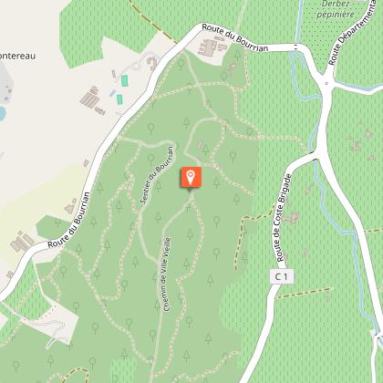
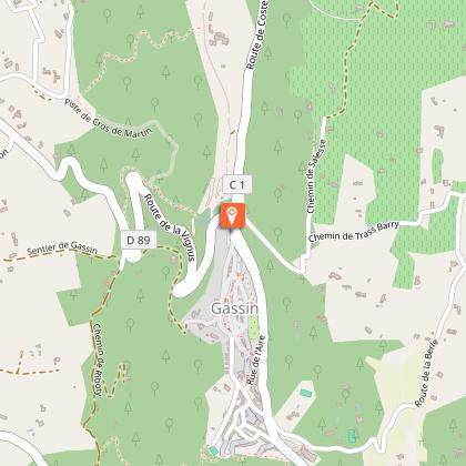
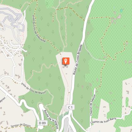
Starting point
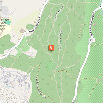
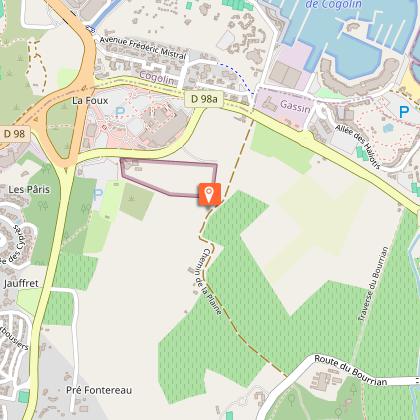
Steps

Points of interest


Additional information
Updated by
Office de tourisme de Gassin - 25/07/2024
Report a problem
Environments
In the country
Lakeside or by stretch of water
Riverside
Forest location
Town location
Close to a public transportation
Village 2 km away
Waterside
Bus stop < 500 m
View over the vineyards
Beach within 300 m
In the historic centre
Panoramic view
Open period
All year round.
Contact
Phone : 04 98 11 56 51
Email : accueil@gassin.eu
Website :
gassin.eu/fr/loisirs/loisirs-sportifs/gassin/randonnee-le-sentier-de-la-mer-5584645/
gassin.eu/fr/quoi-faire-a-gassin/
Facebook : fr-fr.facebook.com/ot.gassin/
Topo guides and map references
Topo guides references :
"At the heart of the trails", available for free at the tourist office of Gassin.
Carte IGN Saint-Tropez Sainte-Maxime Massif des Maures - IGN 3545OT (10€, Leclerc Cogolin)
Type of land
Ground
Suitable for all terrain strollers
Tricky passages
In the summer, be sure to inform yourself before your departure that the trail is not closed because of the fire risk (information on the Var prefecture website or at the tourist office).
You will find a small watch on your route that you can bypass if necessary by taking a path a little further to the right.
Also be careful during the hunting season not to take the trail if it is blocked.
Be careful when crossing country roads without a protected passage.
The path allows you to join the protected multimodal track to reach Port Grimaud on your left and Saint-Tropez on your right.
Data author
