Alert
Alerts
To the Coal! (shorter route 2)

IGN cards


Description
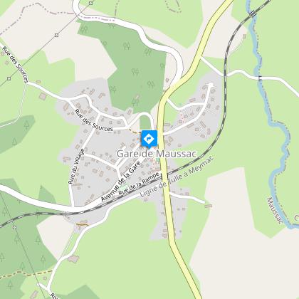
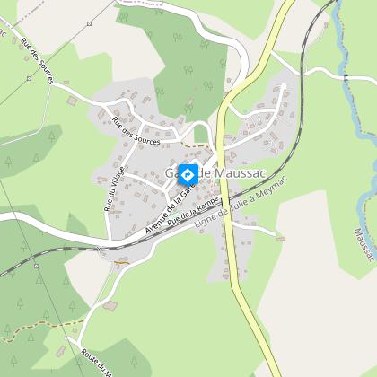
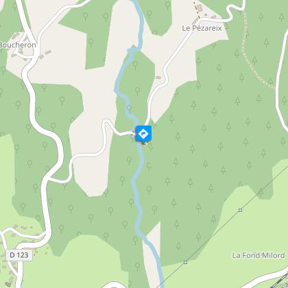
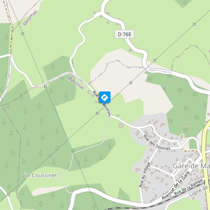
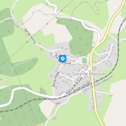
This rural itinerary starts from an old mining "city".Departure point on the square on the edge of the D36. Head for the old butcher's shop; turn right and then left on the Rue des Sources. Then turn right on the Rue du Château d'Eau. The latter rejoins the Rue des Sources, which we follow on the right.100 m after leaving the village, follow the road to the left. At the crossroads with the Pézareix road, continue on the track straight ahead. At the next crossroads, go straight on (the big loop goes to the right).At the next crossroads, turn left to reach Cisterne.In the village, follow the road to the left for 1 km. Take a path to the left. Turn right at the road to reach the Pézareix mill. Take the road on the left which rises and becomes a track. Turn right when you reach the road.At the crossroads, turn right: the road runs alongside the ralway line. Turn left at the railway crossing and then take the path on the left just after the crossing keeper's house. Turn left at the next crossroads; the path becomes a track.Take the road to the left; go left at the next crossroads; cross the railway line. Turn right at the next crossroads to return to Maussac.
Technical Information
Altimetric profile
Starting point
Steps
Points of interest
Additional information
Advised parking
Car park, Place de Maussac Gare
Advice
The commune includes several villages. The hike sets off from Maussac-Gare. This hike has a longer route (16 km - marked trail 3, for which there is an information sheet) and a family-friendly loop (7 km - marked trail 1).
Access
From Meymac, take the D36 towards Tulle. Maussac-Gare is 5 km from Meymac. Park in the school square on the right.
Ambiance
During the 115 years of its operation, the Maussac coal seam allowed the village of Lapleau to experience unique economic growth. This trail allows you to compare the traditional architecture of the agricultural world with the mining and administrative structures associated with this "boom"; and to imagine the changing pattern of housing in a mining town.
Arrival
Car park, Place de Maussac Gare
Departure
Car park, Place de Maussac Gare
