Alert
Alerts
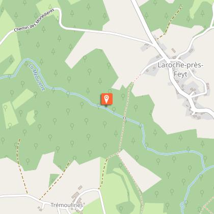
The Méouzette

IGN cards


Description
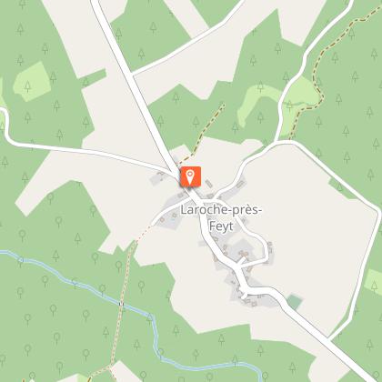
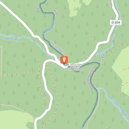
Head for the Chavanon (which originates at the confluence of the Ramade and Méouzette streams) for this sports circuit.Marking: brown arrowsLeave in the direction of the playground at the town hall, in front of the communal restaurant. Head away from the village on the minor road that becomes a path.
Technical Information
Altimetric profile
Starting point
Steps
Points of interest
Additional information
Advised parking
Place de la Mairie, Laroche-prés-Feyt
Advice
Be careful; there is a quite technical descent towards the Méouzette shortly after the start.
Access
From Eygurande, head the direction of Feyt. In Feyt, go towards Laroche-prés-Feyt.
Ambiance
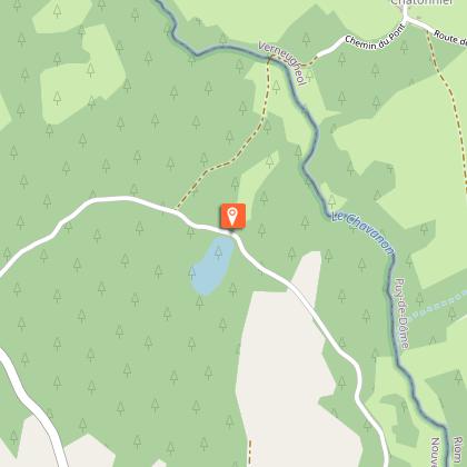
This circuit is part of the FFVélo Haute-Corrèze mountain bike base, the largest mountain biking area in France with 1000 km of marked circuits. This circuit is classified as a sports circuit due to two technical descents towards the Méouzette and the Chavanon. After these two difficulties, it is an easy-going circuit in the undergrowth on forest roads and tracks. A pleasant route for a short trip.
Arrival
Place de la Mairie, Laroche-prés-Feyt
Departure
Place de la Mairie, Laroche-prés-Feyt
