Alert
Alerts
Chadebec mill

IGN cards


Description
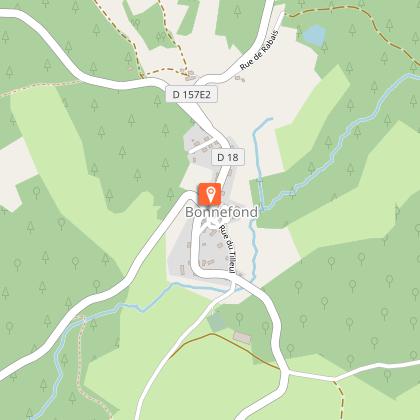
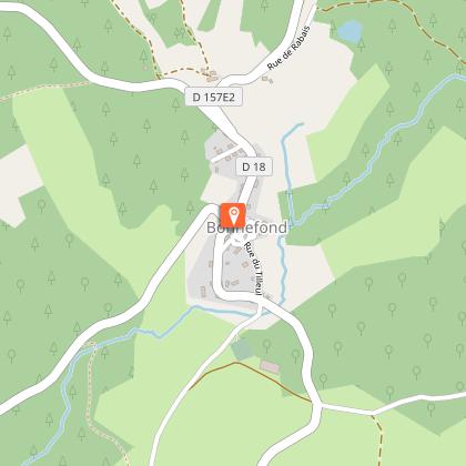
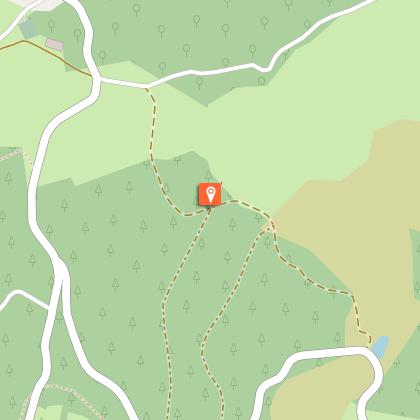
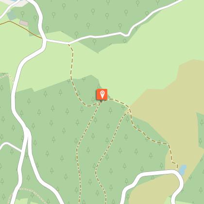
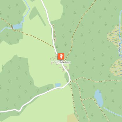
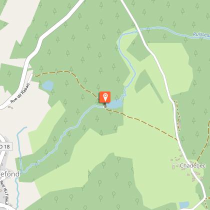
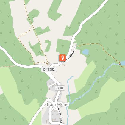
Between the Plateau de Millevaches and the Massif des Monédières, the Upper Corrèze Valley offers natural landscapes and traditional local architecture, and many hiking trails have been opened thanks to a dynamic team of volunteers working to promote the discovery of the heritage of this area.Go down the Rue du Tilleul, cross the D18 and head towards Laubary. After the cemetery, take the first road on the left. Cross the D18 again. 200 m after the crossroads take an uphill path to the right.On the flat, at the intersection, go straight ahead; the path goes back down to the road. (Outside the circuit: Take the path on the left; the Menhir du Pilard is in the undergrowth 50 m on the right.) Keep left until you reach Anglard.In the village, turn right on a tarmac path as far as a barn. (Shorter route: Go up to the left by the road, then take the path to get back to the main road). Follow the downhill path to the left. It crosses the Corrèze and rises at a crossroads of tracks. Turn left to reach a crossroads.(Outside the circuit: Crossroads on the outskirts of La Nocaudie). The road to the left crosses the Corrèze; go up 300 m to take the path on the right.Continue straight ahead: The path passes several woods and meadows and then goes uphill alongside a sheep pen.Go back on the road and follow it straight ahead. Go through Chadebec (the pendulum well is on the left). At the edge of the hamlet, turn left on the path that goes down to the Chedebec mill. Continue to return to the road, then take it on the left to get back to Bonnefond.
Technical Information
Altimetric profile
Starting point
Steps
Points of interest
Additional information
Public transport
Gare la plus proche : Bugeat (11 km)Gare d’Uzerche à 46 km
Advice
Nearest railway station: Bugeat (11 km)
Advised parking
Place de l'Eglise, Bonnefond
Access
11 km from Bugeat, take the D18. 20 km from Egletons, take the D18. 22 km from Treignac, take the D940, then the D16.
Arrival
Place de l'Eglise, Bonnefond
Ambiance
This circuit is marked by the many elements of Christianisation in the region, including the wayside crosses and miraculous springs that are the subject of processions. The Menhir du Pilard is undoubtedly the most iconic, with the engraving of a cross which is still visible today.
Departure
Place de l'Eglise, Bonnefond


