Alert

Alerts

To see around
See more
Open
Close
Show
Show
Show
Show
Show
Show
Show
Show
Show
Show
Show

Oups... It would appear that Cirkwi does not have permission to use your location.

Description
Map
Ratings and reviews
See around

Les Hauts de Roussoulps

Les Hauts de Roussoulps

Description

From forest tracks to stony paths, this course explores the heights of Pont de l'Arn where the gentle slopes of the plateau are suddenly cut into steep valleys.

Technical Information

Walking
Difficulty
Easy
Duration
3h
Dist.
12 km
Show more

Altimetric profile

Starting point

Saint Baudille , 81660Pont-de-Larn
Lat : 43.517742Lng : 2.404772

Additional information

Updated by

Office de Tourisme de Castres-Mazamet - 24/06/2024
www.tourisme-castresmazamet.com/
Report a problem

Environments

Forest location
Lake view
Close to GR footpath

Open period

All year round.

Contact

Phone : 05 63 61 27 07

Email : accueil@tourisme-castresmazamet.com

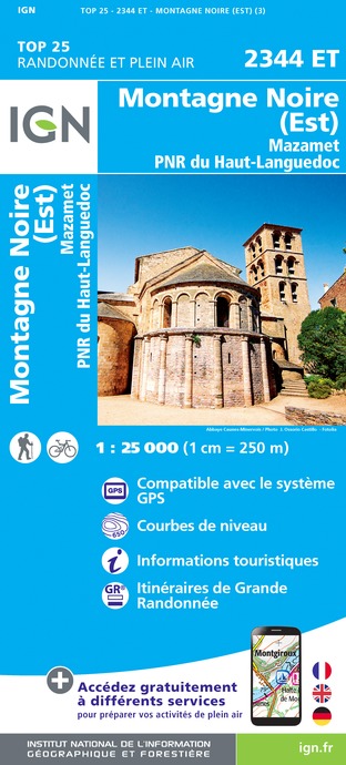
Topo guides and map references

Topo guides references :
Hiking sheets available at the Tourist Offices of Mazamet, Castres and Labruguière.
Sheet sold for 0,50 €.

Type of land

Rock
Stone
Ground
Not suitable for strollers

Location complements

Departure: From Pont de l'Arn take the D109 towards St Baudille

Ratings and reviews

To see around
See more
Open
Close
Show
Show
Show
Show
Show
Show
Show
Show
Show
Show
Show
Caution!
We have no information on the difficulty of this circuit. You may encounter some surprises along the way. Before you go, please feel free to inquire more and take all necessary precautions. Have a good trip! 🌳🥾