Alert
Alerts
Hautefeuille

IGN cards


Description
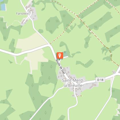
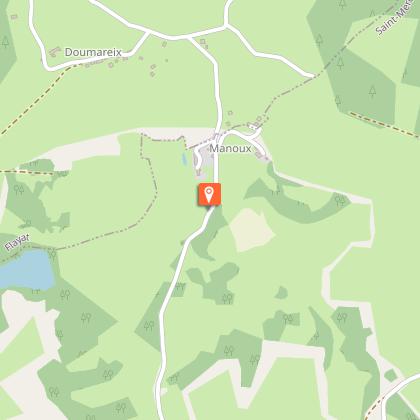
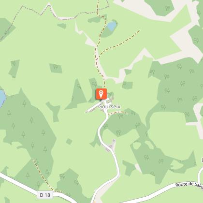
A country circuit where magnificent paths with dry stone walls take you to the grounds of the former Hautefeuille château.Departure: park in the church square. Go back towards the centre of the village. Follow the D18. As you leave the village, turn right towards the cemeteryAt the cemetery, take the path on the left that joins a track. Follow it to the right; keep straight ahead as far as the road.Take the road on the right for 200 m. Follow the track on the left, which becomes a path. At the next crossroads, turn left. The path becomes a track; on a bend, go left until you reach the road.Follow it to the right for 300 m, then take the path to the left. At the next crossroads, turn left and continue for 50 m, then leave the track for a grassy path on the left that leads to Les Manoux. Continue straight on in the village.Take the road to the left and, 50 m after the bridge, a trail to the right. At the first crossroads, follow the track to the right; cross the stream and then the meadow. In the woods, turn left to find a path. It joins a track that you can take on the left to reach Gourseix.While you are there, take a 50 m return trip to the right: an interesting stone with a coat of arms can be seen up on the right-hand side of the wall of the barn adjoining the first house. As you leave the village, take the path on the left which joins the road.Follow it to the right. At the next crossroads, turn left. 200 m. after the La Barrre, after a transformer, take a trail to the right. Follow it, keeping straight ahead; ignore a path on the left; go to the crossroads just before the road on the left. The path meets the road.Turn left onto it; after the sorting area, take the path on the left to reach the village. Turn right to find the church.
Technical Information
Altimetric profile
Starting point
Steps
Points of interest
Additional information
Advised parking
Church Square, Saint-Merd la Breuille
Advice
Several areas are wet, be sure to wear study shoes.
Access
From La Courtine, follow the D996 towards St-Oradoux. Pass St-Oradoux then the pond of Méouze. Turn right on the D. 18 towards St-Merd la Breuille.
Ambiance
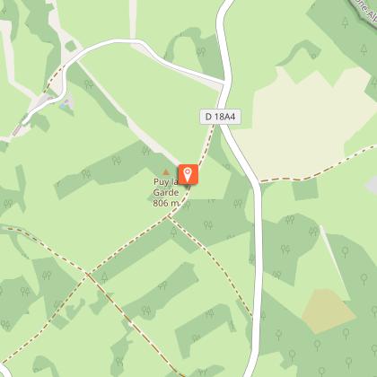
A favourite season for exploring this path is spring when Mother Nature is waking up. You can explore several sites in the commune, starting with the Puy de la Garde (805 m), which offers a view of the Puy de Dôme and then the Massif du Sancy. The walk continues to the villages of Manoux (tumulus) and Gourseix. In the latter, a reused stone that may have come from the former Château d'Hautefeuille features the coat of arms of the château owners.
Arrival
Church Square, Saint-Merd la Breuille
Departure
Church Square, Saint-Merd la Breuille
