Alert
Alerts
Hiking loop: le Pralère


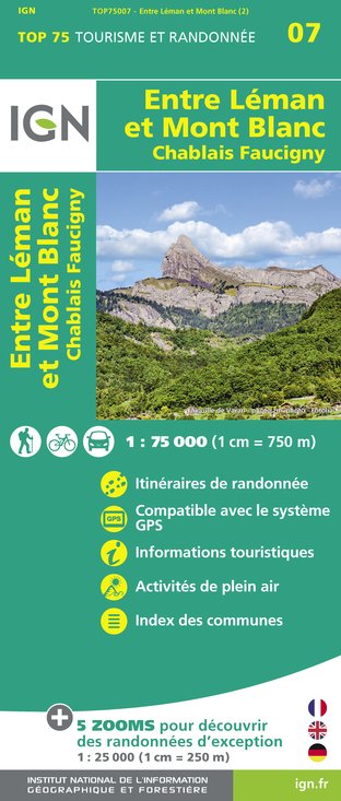
IGN cards


Description
The Boucle du Pralère allows you to discover part of the Massif des Voirons, which together with the Vuache and Salève form the Monts du Genevois. You'll enjoy magnificent panoramic views.
N°. 1 Parking des Affamés: Take the forestry road to the right and continue until you reach a flat section.
N°. 2 Take the right-hand fork, then take a smaller path.
N°. 3 Continue straight ahead and then climb up to the left until you reach the junction with the path coming from 'La Grange de Boëge".
N°. 4 Turn left and continue along a sloping path.
N°. 5 Arrive at the Col du Pralère (altitude 1295 m, you are now on the GR "Balcon du Léman" long distance path). N° 7 Go left and follow the Grande Randonnée long distance path.
N°. 6 If you wish, you can turn right to go and see the Oratory of Notre-Dame du Pralère, which takes 10 minutes there and back (altitude 1303 m, viewpoint).
N°. 7 Go past the Pointe du Pralère (altitude 1406 m), head downhill and go the left and the bottom of the slope, still on the GR long distance path.
N°. 8 Carry on until you reach a junction of paths: Not Marcy. Take the left fork onto a "swift" descent.
N°. 9 If you wish, you can continue along the ridge of Les Voirons, following the GR long distance path, as far as the Pointe de Brantaz (altitude 1457 m, viewpoint) (allow 30 minutes there and back).
N°. 10 Reach a junction with the path known as "Taille de la Marquise" leading uphill. Follow it to the left.
N°. 11 Cross this forestry road and then a loggers' path. Follow the path that runs beside a stream to reach the Parking des Affamés.
Technical Information
Altimetric profile
Starting point
Additional information
Updated by
Conseil Départemental de la Haute-Savoie - 07/03/2025
www.hautesavoiexperience.fr
Report a problem
Reception conditions for animals
Pets are not allowed.
Guidebook with maps/step-by-step
1/ Parking Les Affamés 2/ From the "Les Affamés (Parking)" sign, follow the signs for "Col du Pralère par Grange de Boëge Dessus". You will pass the "Grange de Boëge Dessus" signpost, continue towards "Col du Pralère". 3/ From "Col du Pralère" continue towards "Les Affamés par le Pralère", passing the following signposts: "Le Pralère", "Pas de Mercy", "Rochette Dessus", before reaching your starting point at the "Les Affamés" parking lot.
Open period
All year round. You can also trek along this path in snowshoes and in the opposite direction.
Contact
Phone : 04 50 95 07 10
Email : ot@montsdugenevois.com
Facebook : www.facebook.com/montsdugenevois/
Animals prohibited
Pets are not allowed.
Data author


