Alert

Alerts

To see around
See more
Open
Close
Show
Show
Show
Show
Show
Show
Show
Show
Show
Show
Show

Oups... It would appear that Cirkwi does not have permission to use your location.

Presentation
Description
Map
Steps
Ratings and reviews
See around

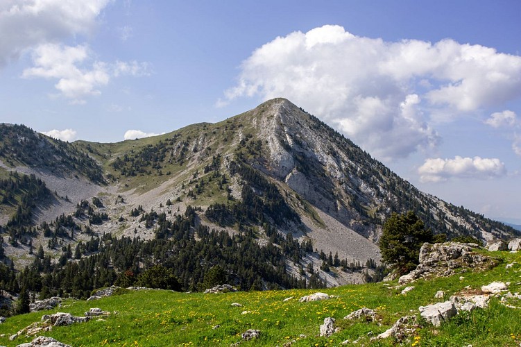
Randonnée au Pas de la Balme/ Tête des Chaudières
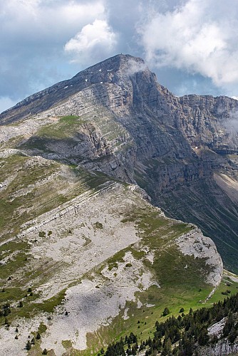
Randonnée au Pas de la Balme/ Tête des Chaudières

Description

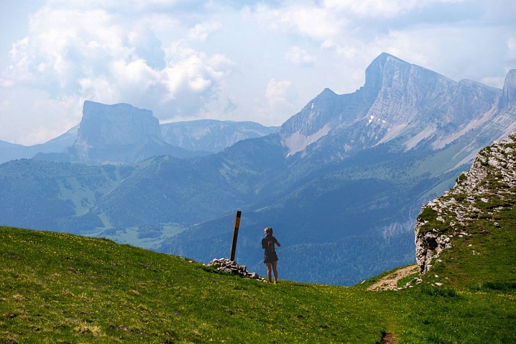
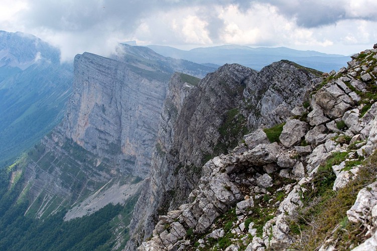
Climbing the Tête des Chaudières through the Pas de la Balme is an altitude hike appreciated in summer as well as in winter thanks to ski touring. This medium difficult route requires a little training and a good camera to capture the scenery.

Technical Information

Walking
Difficulty
Medium
Duration
5h30mn (1d)
Dist.
10 km
Show more

Altimetric profile

Starting point

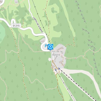
Le Clos de la Balme , 38250   Corrençon-en-Vercors
Lat : 45.020449Lng : 5.528998

Date and time

  • From 01/05/2025 to 31/10/2025

Additional information

Type of land

Rock
Stone
Ground

Contact

Phone : 04 76 95 81 75

Email : info@correncon.com

Open period

From 01/05 to 31/10.

Subject to favorable weather.

Updated by

Office de Tourisme de Corrençon en Vercors - 01/02/2024
www.correncon.com
Report a problem

Environments

Near shuttle stop
Mountain view
Mountain location
Close to a public transportation
Close to GR footpath
Panoramic view
Presence of livestock and guard dogs
Ratings and reviews

To see around
See more
Open
Close
Show
Show
Show
Show
Show
Show
Show
Show
Show
Show
Show
Caution!
We have no information on the difficulty of this circuit. You may encounter some surprises along the way. Before you go, please feel free to inquire more and take all necessary precautions. Have a good trip! 🌳🥾