Alert
Alerts
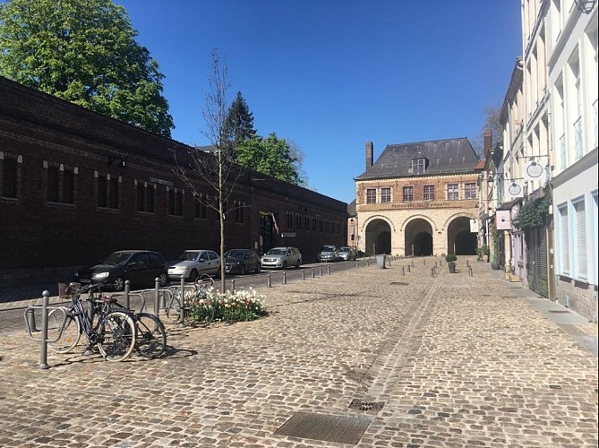
"Heritage through the lens of sustainable development - Lille, from the Porte de Gand to the Napoleon Bridge"

The Cirkwi brief
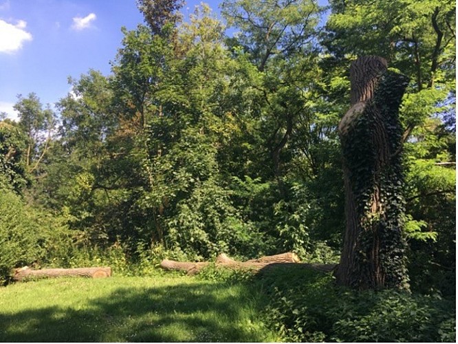
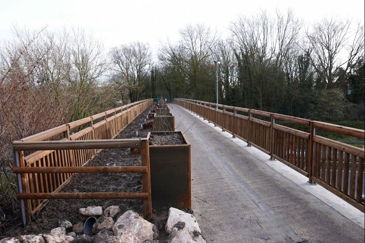
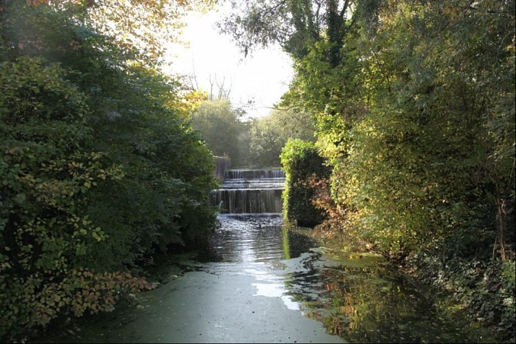
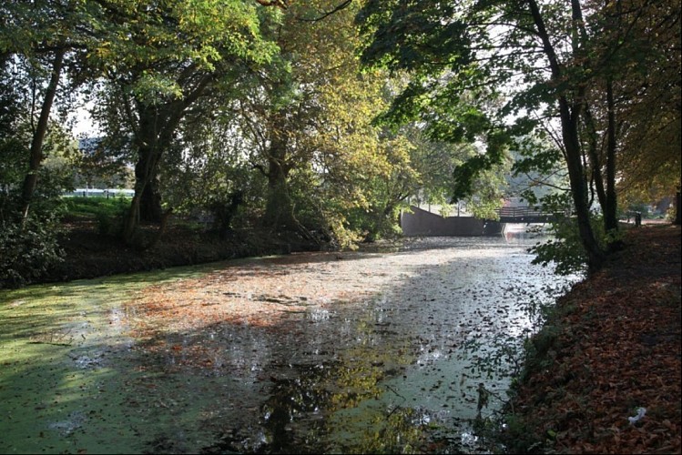
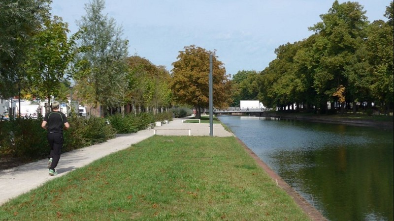
Embark on a journey through Lille's hidden natural beauties, designed by CAUE du Nord, that highlights the symbiosis between urban development and sustainable living. This route, flanked by the enchanting waters of the Deûle, not only reveals Lille's commitment to preserving its environmental treasures but also tells a story of a city that embraces its historical defenses as green sanctuaries. This exploration promises not just a walk but an immersive experience, where every step brings into focus the vital role of water in enhancing urban life, blending the past and the future in every breath of fresh air.
Technical Insights on the Path
The specified route spans approximately 3.7km, starting at the historically significant Porte de Gand and culminating at the striking Pont Napoléon. The journey unfolds across a relatively flat terrain with an altitude variance of merely 17 meters, reaching its peak at 32 meters above sea level. The total positive elevation change aligns closely at between 77 to 84 meters, making it an accessible endeavor for many, confirming its suitability for walking and enjoying the finer details of Lille's landscape.
Seasonal Travel Tips & Safety
Whether draped in the vibrant hues of spring or the crisp air of autumn, this route offers year-round appeal. For the most comfortable experience, spring and autumn are recommended for their mild weather, avoiding the summer's peak heat or the occasional icy paths of winter. Regardless of the season, suitable footwear is key for the cobbled sections. Always stay hydrated and keep an eye on local weather updates, as the proximity to waterways might affect conditions on the trail.
Lille: A Crossroad of History and Nature
Lille's rich tapestry weaves together a compelling narrative where its historical fortifications and waterways stand as testaments to its evolution. From the modern epoch under the rule of the Spanish Netherlands to the strategic military enhancements by Vauban in the 17th century, Lille's identity is intimately tied to its geographical and cultural landscape. This route invites exploration beyond mere aesthetics, delving into the essence of Lille as a guardian of history and a harbinger of ecological mindfulness within the Hauts-de-France region.
Understanding Lille's Climate
Lille, nestled in the Hauts-de-France region, experiences a temperate oceanic climate. Expect mild winters and cool summers, with rainfall spread evenly throughout the year. The optimal time for embarking on this sustainable urban journey is late spring through early autumn. During these months, the weather is pleasantly warm, enhancing the vibrancy of Lille's green spaces and waterways, making it the ideal period for those looking to explore the city's natural and architectural beauty under the most favorable meteorological conditions.
IGN cards


Technical Information
Altimetric profile
Starting point
Points of interest
Data author


