Alert
Alerts
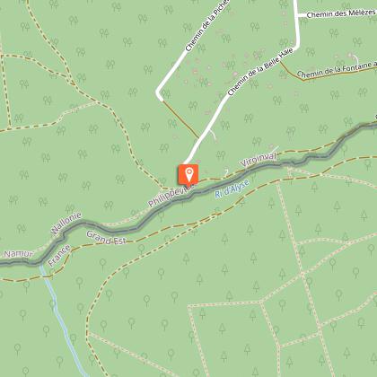
Viroinval : ‘Ry d´Alise’

IGN cards



Description
Oignies-en-Thiérache – a typical village of the region sits in a beautiful clearing of deep forests in the foothills of the Ardenne. This walk begins at the edge of the woods and follows the steep little-known paths of the ‘Viroin-Hermeton’ Natural Park.
This hike, takes you to a full on immersion, off the beaten track forest route. Firstly, on the ‘Oignies-en-Thiérache’ heights, a village in the slate quarries, where you’ll see the village of ‘Le Mesnil’ and its church between the pines. The place called ‘Risque tout’ is the tipping point towards the Meuse Valley which flows into France.
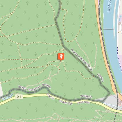
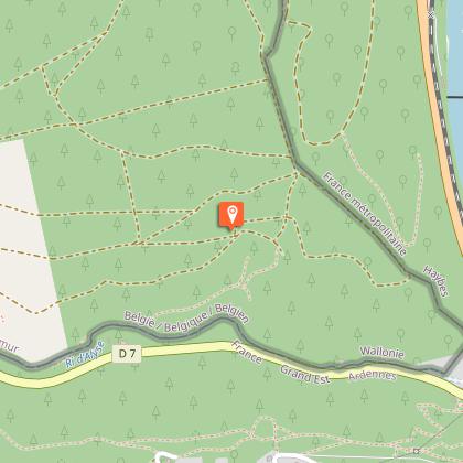
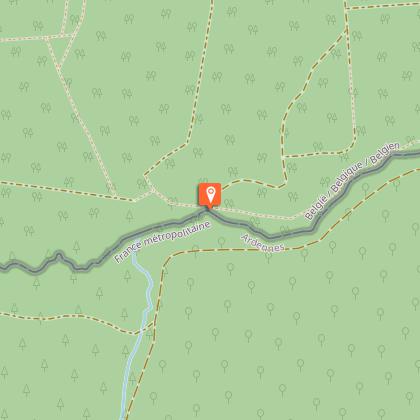
The ridge trail offers epic views over the valley and the French villages. You’ll then come across border markers in this area, as you walk along the French border.
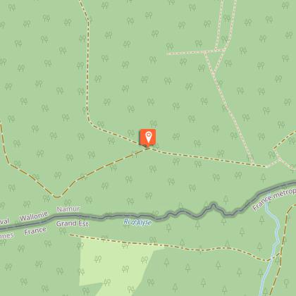
Characterized by slate, the steep region imposes significant differences in height. As you make your way down towards the deep valley of the ‘Ry d´Alise’ you’ll enjoy the breathtaking panorama over the Ardennes valleys.
Technical Information
Altimetric profile
Starting point
Steps
Points of interest
Data author

