Alert
Alerts
Circuit de Stahl-Boudeville


IGN cards


Description
With this trail, you will discover one of the most important places in the history of Lorraine : Châtenois. In the 11th century, the first Duke of Lorraine, Gerard of Alsace, had a fortified castle perched on the upper part of the town. His wife, Hedwige of Namur, founded a Benedictine priory in 1069, which still dominates the landscape.
There are many calvaries along the path, which explains the surname of "Petite Bretagne Lorraine" (Little Brittany in Lorraine) given to this territory.
Marking : blue ring
Technical Information
Altimetric profile
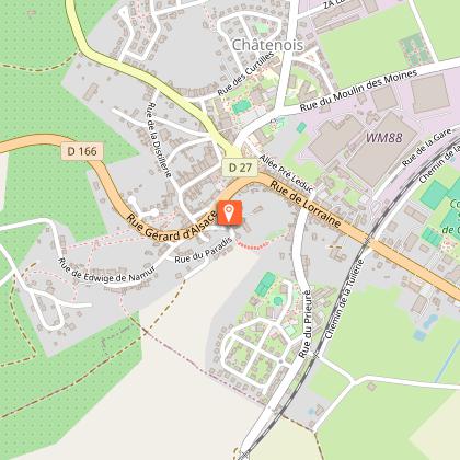
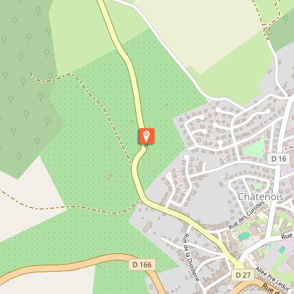
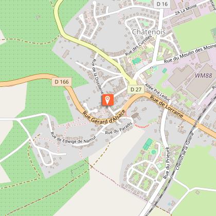
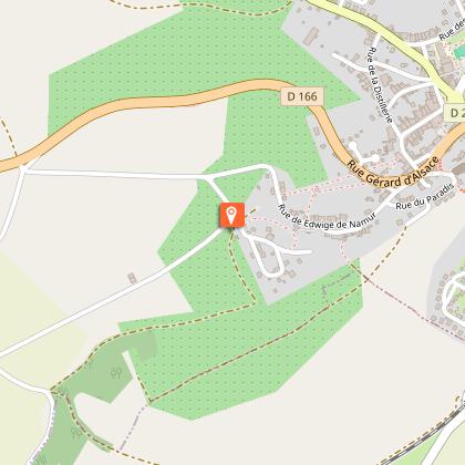
Starting point
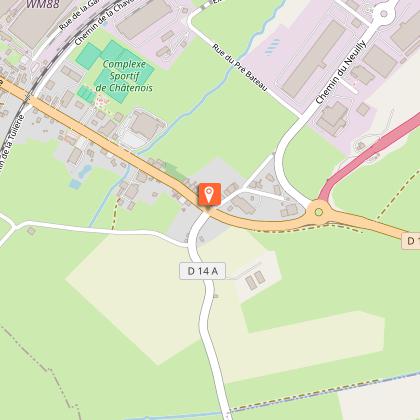
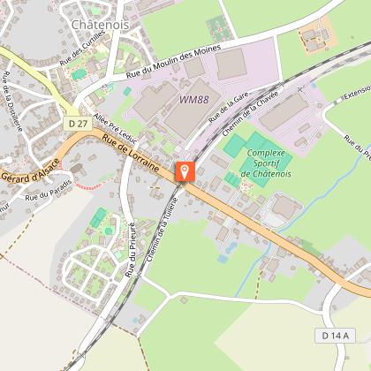
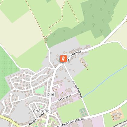
Steps
Additional information
Producteur de la donnée
Ces informations sont issues de la plateforme SITLOR - Système d’Information Touristique - Lorraine
Elles sont synchronisées dans le cadre du partenariat entre Cirkwi, l’Agence régionale du Tourisme Grand Est et les membres du comité technique de Sitlor.
Contact
Tel : 03 29 94 51 09
Email : mairie@ville-chatenois88.fr
Data author
