Alert
Alerts
Walking route - Super Châtel and the 3 lakes

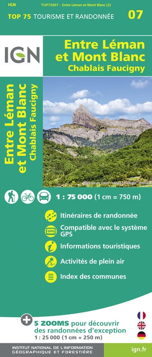
IGN cards


Description
This walkingtrail links three lakes and is great fun for all the family.
From Super Chatel top station, take the track to the right that rises towards
Switzerland. At Conche lake, which marks the border, retrace your steps and head in the direction of Mouille lake on the left.
Once at the lake, rejoin the off-road track that leads to Chatel until you can see the cable car bottom station, 50 metres away or so.
Next, take the track on the left leading towards Vonnes lake, via a narrower, elevated track.
At Vonnes lake, you can head back on foot through the village by following the “route de Vonnes” downhill or by taking the bus to the centre of the resort.
Technical Information
Altimetric profile
Starting point
Points of interest
Date and time
- From 01/06/2025 to 31/10/2025
- From 01/06/2026 to 31/10/2026
Additional information
Open period
From 01/06 to 31/10.
Updated by
Châtel Tourisme - 03/12/2024
www.chatel.com
Report a problem
Environments
Lakeside or by stretch of water
Near shuttle stop
Lake view
Mountain view
Mountain location
Close to a public transportation
Waterside
Contact
Phone : 04 50 73 22 44
Email : touristoffice@chatel.com
Type of land
Stone
Ground
Not suitable for strollers
Location complements
Underground car park at the Church square (fee charged in July and August). Shuttle stop Place de l'église.
Topo guides and map references
Topo guides references :
Châtel walking map for €3
Topo guide "Balades et randonnées en Vallée d'Abondance" (Walks and hikes in the Abondance Valley) for €5
Portes du Soleil walking map for €4
(Maps for sale at the tourist office)
Map references :
Top 25 IGN 3528 ET
Reception complements
Whichever walk you choose, we recommend that you : - Wear appropriate footwear and always take with you: warm clothing, preferably waterproof, plenty of water, sunglasses, sun cream and a small first-aid kit. - Do not set off alone. - Inform someone living in the valley of your plans. - Do not change the planned itinerary indiscriminately. But do not hesitate to shorten it if necessary. - Carry a map and even a torch. - Check the weather forecast before setting off. - In the event of a thunderstorm, move away from ridges, passes and summits as soon as possible and never take shelter under an isolated tree.
Animals accepted
Dogs must be kept on a lead due to the presence of herds.
Data author


