Alert
Alerts


Istres entre ville et nature


IGN cards


Description
A local loop to discover Istres and its wonders.
Do you often get the chance to mix urban heritage and nature on a hike? That's what this unusual tour is all about.
Do you often the opportunity on a hike to mix urban and nature heritage? It is that offers this unusual circuit. Browse through the historic centre and the city to plunge into the atmosphere of typical Provencal villages. Discover also the etang de Berre from different angles of views. Overlook it since the lookouts. Let your gaze on the largest inland sea in Europe and its complex history. Walk along the coastline and enjoy unspoilt coves. An appointment not to be missed!
Technical Information
Altimetric profile
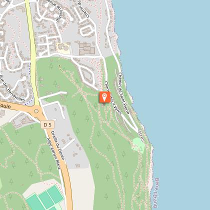
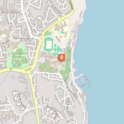
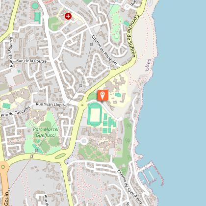
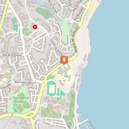
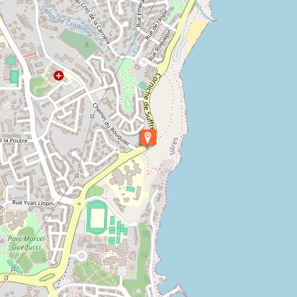
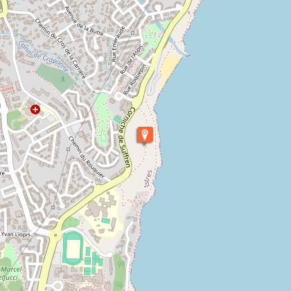
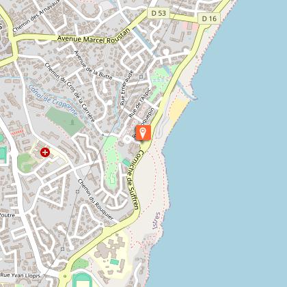
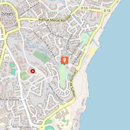
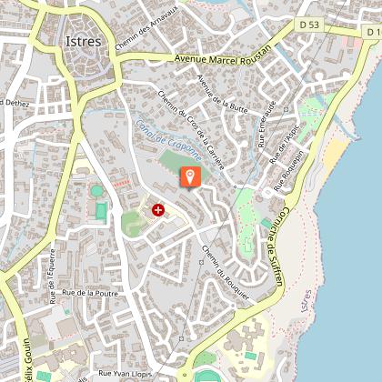
Starting point
Steps
Additional information
Guidebook with maps/step-by-step
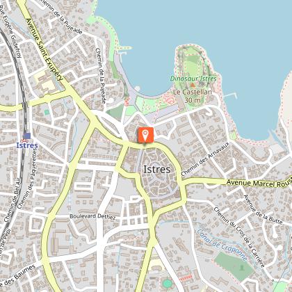
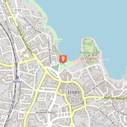
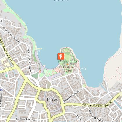
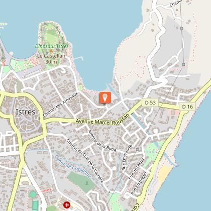
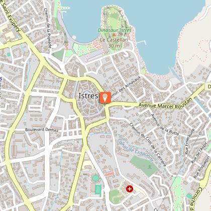
1 - From the tourist office, go straight on rue Sainte-Catherine. At the end of this street, join the boulevard Léon Blum. Cross the road to reach the Bernardin Laugier esplanade. Go past the Buren columns and the Art Zoo to reach the banks of the Olivier. Walk along the Olivier pond passing in front of the Dinosaur'Istres site and under the Castellan oppidum. Go past the fire station. Follow the path closest to the pond until you reach the private car park of the "Les Arnavaux" buildings (1.6 km).
2 - Cross it, take the rue des Arnavaux, turn left at the end into rue de Saint-Etienne. Turn right into the allée J. Prouvent (junction with the GR® 2013). Pass under the Cascaveau bridge. On the right, go up the rue du Cascaveau, and take on your right the allée du Redon (between the two columns). Cross the Romaniquette park. Go through the gate and cross the pedestrian crossing opposite the Cascaveau mill (600 m). After 200 m on your left, take a diversion to enjoy the view from the Suffren lookout.
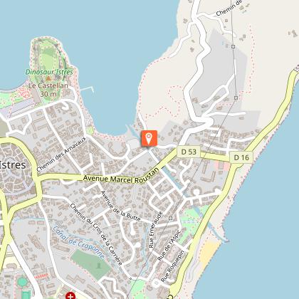
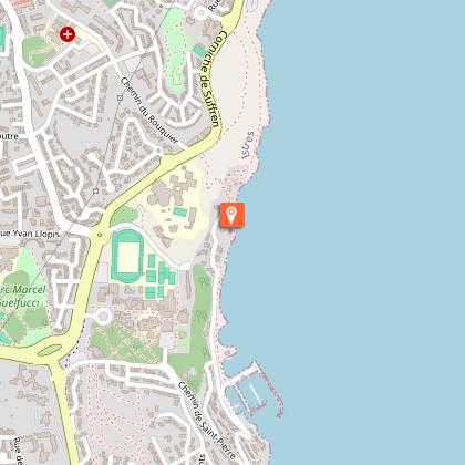
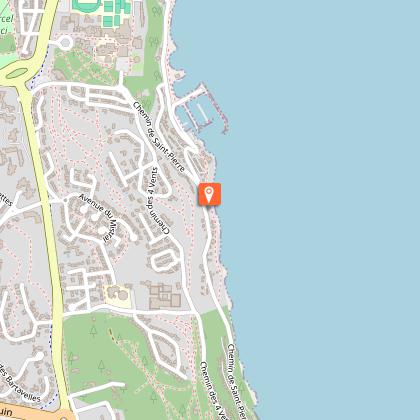
3 - Turn right and go down to the Romaniquette beach. On the right of the car park, follow the path along the pond to the port of Heures Claires. Walk along the port (1.7 km). Variation: from the port of Heures Claires, go up the chemin du Port. Follow the path of Saint-Pierre to the educational and cultural centre, continue your walk from point 8.
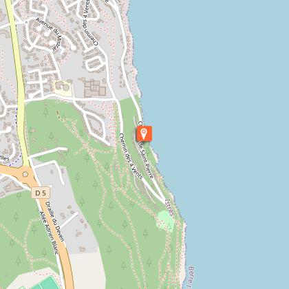
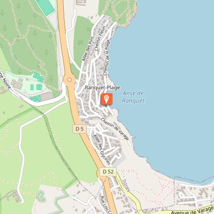
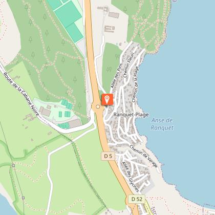
4 - Take the path of the Saint-Martin spring. Pass over the spring. Continue your way on this path along the edge of the pond of Berre. After the Clos Saint Martin, go up to the right on the Chemin de Saint-Martin to bypass a dangerous coastal area. Find the bank. Follow this shaded path along small creeks until you reach the Ranquet firemen's barrier.
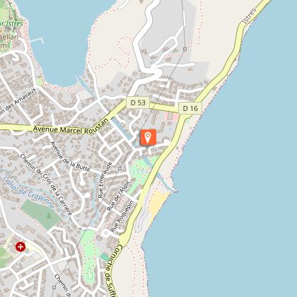
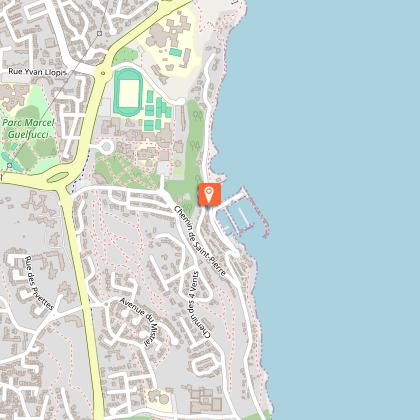
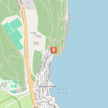
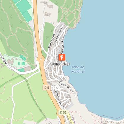
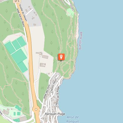
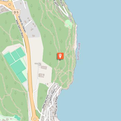
5 - At the barrier, turn immediately left onto the beach path. Go along the beach of Ranquet (possibility of restoration, picnic area, games of bowls...). Follow the path then, at the end of the Ranquet cove, at the information panel, turn right onto the chemin de la Fontaine. After the second intersection on the left, take the Chemin des Arcades. Keep left, and take the steep climb to the right onto Chemin Raccourci, (GR® 2013 junction). Continue on Allée des Pins towards the pine forest. Leave the riding school on your left, follow the track through the pine forest until you reach the white marker N° 71 of L'Air Liquide. After about 10 m, keep left and go up to the plateau by a path that passes between two large rocks. On the right, continue on the plateau by a track, leaving a field of olive trees and a water tower on the left. Straight ahead, the first houses of the Quatre Vents district appear below on the left. Go along the fences. The path leaves the pine forest at the Avenue des Heures Claires.
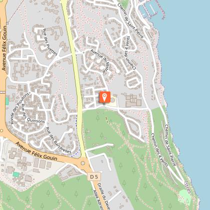
6 - Go down this avenue to the left. 200 m further down, take the small crossing between the Quatre Vents school and the rue de la Largade. Turn right to the chemin du Vent des Dames (pine forest). Cross this pine forest, leaving it on your right. The path runs alongside the houses until you reach Rue du Levant. Go down it for a few metres, and take a crossroad on your right. At the end of this crossing a staircase leads up to the Collet Rond pine forest. Stay along the fences and follow the markings to bypass the Quatre Vents condominium. The paved path takes you to the chemin de Saint-Pierre, opposite the Michel Petrucciani music conservatory (1.1 km).
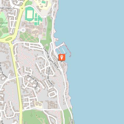
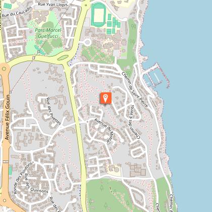
7 - Turn right and follow the path through the pine forest (300m).
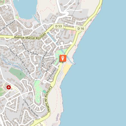
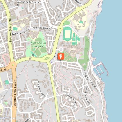
8 - Continue your way between the buildings of the educational and cultural centre. Go up the street until you reach the family holiday home of Les Heures Claires. At the end of this street turn left onto the Combe des Fées path (stadium on the left). 100 m further on, a staircase goes up on the right towards the sub-prefecture. Go past the entrance, then past the Lycée Latécoère. After the car park, you will reach a viewpoint over the Etang de Berre (900m).
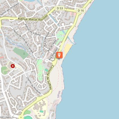
9 - Leave the viewpoint and take the signposted path around the small hill on the right. This path joins the Corniche de Suffren near a roundabout (500m).
10 - To reach a safe passage before the roundabout, continue to the right for about 200m to cross, and then retrace your steps. Take Rue Roquepin opposite the Jacqueline Auriol school. At the end of this street, on the left of the car park, a ramp leads down to the Roches Blanches park. Cross it and take the stairs opposite the park entrance. You arrive in rue de la Farandole. Go up the street for a few meters, take a small crossroad called allée des Roches Blanches on the right. Go along the Rouquier cemetery by the Bastides crossroads until you reach the Rouquier dead end (1 km).
11 - Turn right out of the dead end and go down the chemin du Rouquier. After the church of the Sainte-Famille, turn left into the boulevard Paul Painlevé until you reach the Fontaine Moussue. On the right, take the Boulevard de la République and then the Allées Jean-Jaurès until you reach the Tourist Office (900m).
Visitor alert
Between 1 June and 30 September, access to forest areas is regulated by prefectural decree and may be regulated by municipal decree, for your safety and to preserve sensitive sites. Before following your "walking desires", call 0811 20 13 13. Each day, you will be able to find out whether the site you wish to walk on is open all day, open only in the morning, or completely closed. Depending on the weather conditions, the "forest fire" danger level (orange-red-black) is known by 6 p.m. at the latest for the following day.
Updated by
Provence Tourisme - 24/06/2024
www.myprovence.fr
Report a problem
Open period
All year round.
Type of land
Groomed trail
Ground
Grit
Contact
Phone : 04 42 81 76 00
Email : tourisme@istres.fr
Website : www.istres-tourisme.com
Reception complements
Accessible for disabled
