Alert

Alerts

To see around
See more
Open
Close
Show
Show
Show
Show
Show
Show
Show
Show
Show
Show
Show

Oups... It would appear that Cirkwi does not have permission to use your location.

Presentation
Description
Map
Points of interest
Ratings and reviews
See around

Hike: The Bochettes Loop

Hike: The Bochettes Loop

IGN cards

3431OTR - LAC D'ANNECY RESISTANTE
Editor : IGN
Collection : TOP 25 RÉSISTANTE
Scale : 1:25 000
17.20€
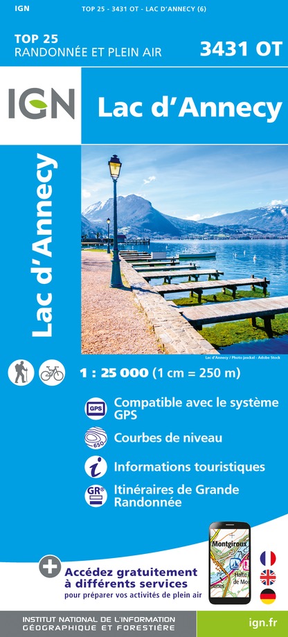
3431OT - LAC D'ANNECY
Editor : IGN
Collection : TOP 25 ET SÉRIE BLEUE
Scale : 1:25 000
13.90€
TOP75032 - CHAINE DES ARAVIS - MASSIF DES BAUGES
Editor : IGN
Collection : TOP 75
Scale : 1:75 000
9.80€
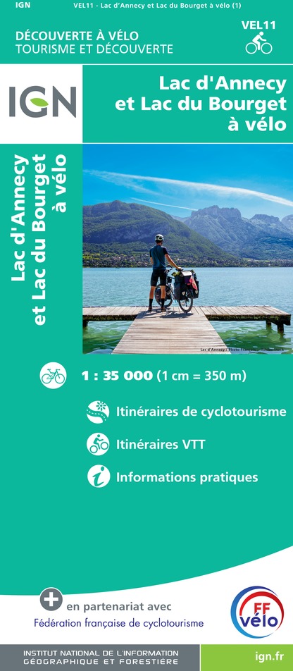
VEL11 - LAC D'ANNECY ET LAC DU BOURGET A VELO
Editor : IGN
Collection : DECOUVERTE A VELO
Scale : 1:35 000
9.10€
TOP100D73 - SAVOIE CHAMBÉRY ALBERTVILLE PARC NATIONAL DE LA VANOISE PNR DU MASSIF DES BAUGES
Editor : IGN
Collection : TOP 100
Scale : 1:100 000
8.40€
TOP100D74 - HAUTE-SAVOIE ANNECY THONON-LES-BAINS MASSIF DU MONT BLANC CHAÎNE DES ARAVIS
Editor : IGN
Collection : TOP 100
Scale : 1:100 000
8.40€
202 JURA ALPES DU NORD
Editor : IGN
Collection : TOP 200
Scale : 1:200 000
6.80€
89026 - GRANDES TRAVERSÉES DU JURA - GTJ
Editor : IGN
Collection : DECOUVERTE DES CHEMINS
Scale : 1:105 000
9.10€
D38 ISÈRE
Editor : IGN
Collection : CARTES DÉPARTEMENTALES IGN
Scale : 1:150 000
5.90€
D01-69 AIN RHÔNE
Editor : IGN
Collection : CARTES DÉPARTEMENTALES IGN
Scale : 1:150 000
5.90€
NR14 AUVERGNE-RHÔNE-ALPES RECTO/VERSO MASSIF CENTRAL
Editor : IGN
Collection : CARTES RÉGIONALES IGN
Scale : 1:250 000
6.80€
NR15 AUVERGNE-RHÔNE-ALPES RECTO/VERSO MASSIF ALPIN
Editor : IGN
Collection : CARTES RÉGIONALES IGN
Scale : 1:250 000
6.80€
EUROPE
Editor : IGN
Collection : DÉCOUVERTE DES PAYS DU MONDE IGN
Scale : 1:2 500 000
7.00€
SUISSE
Editor : IGN
Collection : DÉCOUVERTE DES PAYS DU MONDE IGN
Scale : 1:303 000
7.00€

Description

You are looking for the best viewpoints on the lake ? This hiking tour is for you !
Start : Lathuile, Town hall carpark
Follow the ascent on the right of the church towards Saury. Then take the path to your left - chemin de la Mine - and stay on the right.
Continue straight ahead on the ascending hairpin bend. You then reach the crossroads "Puits de la Mine". Take the right and continue the ascent. Once you are back on the flat, you cross hamlets and you can enjoy the view of lake Annecy and the mountains. Follow the signs towards Entrevernes and Membert.
In Membert, get back the asphalt road in a slight slope. After the high voltage line, follow the path making a straight angle on the left and cross the meadows towards Frepperet hamlet. At the oratory, you can appreciate the splendid view on the valley.
Get back down towards Lathuile following the path to the right. Be carful, it is a steep narrow succession of bends. Continue on the small road to your left to Lathuile church.

Technical Information

Walking
Difficulty
Easy
Duration
3h30mn
Dist.
8.8 km
Show more

Altimetric profile

Starting point

30 route du Bout du Lac - Parking de la mairie de Lathuile , 74210   Lathuile
Lat : 45.781919Lng : 6.202834

Additional information

Updated by

Office de Tourisme des Sources du Lac d'Annecy - 26/07/2024
www.sources-lac-annecy.com
Report a problem

Open period

All year round.

Ratings and reviews

To see around
See more
Open
Close
Show
Show
Show
Show
Show
Show
Show
Show
Show
Show
Show
Caution!
We have no information on the difficulty of this circuit. You may encounter some surprises along the way. Before you go, please feel free to inquire more and take all necessary precautions. Have a good trip! 🌳🥾