Alert
Alerts
Hike: Around the Rocher de Marlens


IGN cards


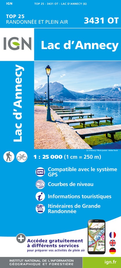


Description
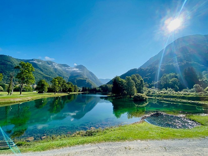
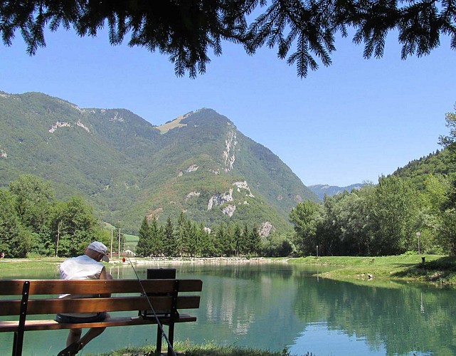
This strow allows you to discover a pretty Savoyard village, beautiful undergrowth and views of the valley.
Technical Information
Altimetric profile
Starting point
Steps
Points of interest
Additional information
Updated by
Office de Tourisme des Sources du Lac d'Annecy - 09/08/2024
www.sources-lac-annecy.com
Report a problem
Guidebook with maps/step-by-step
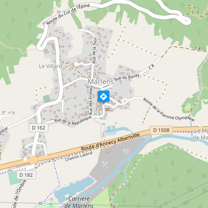
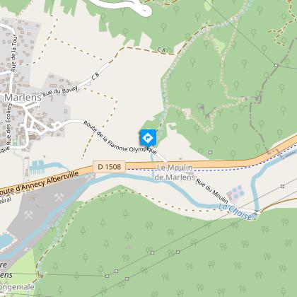
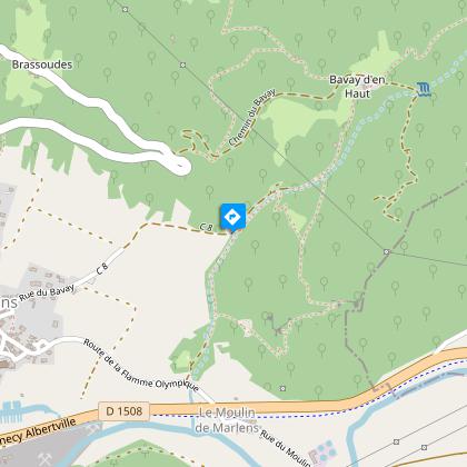
1/ Via the olympic flame road, go to the Cross and turn left. A rather steep path leads you to the foot of the climbing rock.
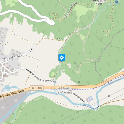
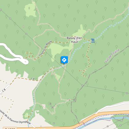
2/ A path on the left takes you down onto a small wooded plateau, covered with periwinkles in the spring. A slight rise allows you to reach a nice path going down to a brook and then onto a road.
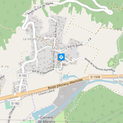
3/ You can then join Marlens Village.
Open period
All year round.
Contact
Phone : 04 50 44 60 24
Email : accueil@sources-lac-annecy.com
Facebook : www.facebook.com/sources.lac.annecy.tourisme/
Google+ : plus.google.com/u/0/111088530102805483892
