Alert
Alerts
Type of practice
Walking
Medium
5h30mn


Presentation
Map
Points of interest
Ratings and reviews
See around
GR®89 - Chemin de Montaigne : Saint-Martin-Lestra / Poncins


IGN cards
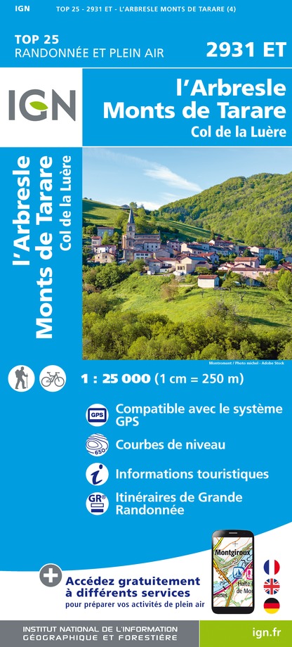
2931ET - L'ARBRESLE MONTS DE TARARE
Editor : IGN
Collection : TOP 25 ET SÉRIE BLEUE
Scale : 1:25 000
13.90€
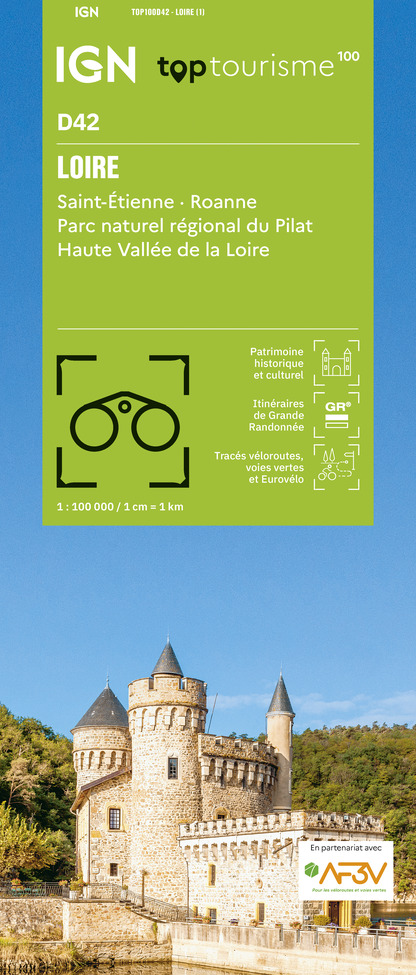
TOP100D42 - LOIRE SAINT-ÉTIENNE ROANNE PARC NATUREL RÉGIONAL DU PILAT HAUTE VALLÉE DE LA LOIRE
Editor : IGN
Collection : TOP 100
Scale : 1:100 000
8.40€

TOP100D69 - RHÔNE LYON VILLEFRANCHE-SUR-SAÔNE MONTS DU LYONNAIS
Editor : IGN
Collection : TOP 100
Scale : 1:100 000
8.40€

D42-43 LOIRE HAUTE-LOIRE
Editor : IGN
Collection : CARTES DÉPARTEMENTALES IGN
Scale : 1:150 000
5.90€

D01-69 AIN RHÔNE
Editor : IGN
Collection : CARTES DÉPARTEMENTALES IGN
Scale : 1:150 000
5.90€

EUROPE
Editor : IGN
Collection : DÉCOUVERTE DES PAYS DU MONDE IGN
Scale : 1:2 500 000
7.00€
Technical Information
Walking
Difficulty
Medium
Duration
5h30mn
Dist.
25 km
Type of practice
Walking
Medium
5h30mn
Show more
Altimetric profile
Starting point
Place de l’église
,
42110
Saint-Martin-Lestra
Lat : 45.773042Lng : 4.368771
Points of interest


Additional information
Updated by
Office de Tourisme Forez Est - 05/03/2025
www.rendezvousenforez.com/
Report a problem
Open period
From 01/01 to 31/12.
Subject to favorable snow and weather conditions.
Contact
Phone : 04 77 54 98 86
Email : rando@forez-est.com
Type of land
Ground
Hard coating (tar, cement, flooring)
Grit
Animals accepted
Animals are accepted.
Data author

proposed by
Office de tourisme Forez-Est
125 avenue des Sources 42210 Montrond-Les-Bains France
Ratings and reviews
To see around