Alert
Alerts
En-Chon / Mayotte
IGN cards


Description
Time: 2h45
Pedestrian, Mountain bike
Road signs: Green signs, White markings
Difficulty: ** (medium)
Distance: 11 kms
Map IGN 1339 and TOP 25
Directions:
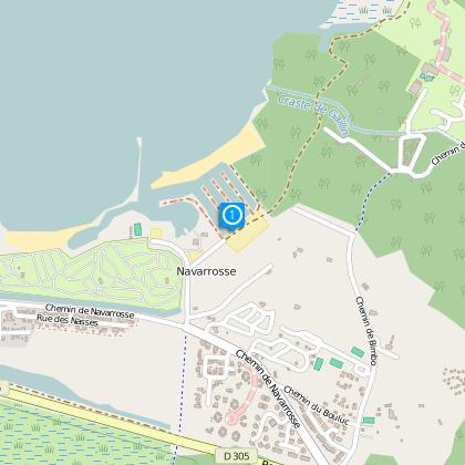
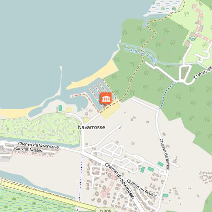
Depart from the parking lot at Navarrosse harbour D5 (located on the map at J7/8,) the hiking trail sign is located in front of the municipal marina. Depart from the end of the camper parking lot, follow the fence of the Lou Galip 1 camp site. Turn left at the angle of the fence, follow the path until you reach the Roseaux path and proceed to the intersection of the Mayotte 2 path. Turn right and follow the road D 333 for 25 meters, then enter trail on your left and stay on trail for 200 meters. Turn left 3 into wooded area and head towards Frézat. Cross the road 4 and continue on the Frézat path (DFCI 221) until you search the new ditch, cross over the ditch and continue straight. Cross over the commune’s ditch continue until ditch 5, turn left and proceed to the lake. Adjacent to the hunter’s hut , admire the vegetation along the waterfront. The point of view of the marshlands is superb, as well as the reeds (Biscarrosse lake / Cazaux / Sanguinet.) Make a 180° turn and take the first path on your right. Follow the path along the lake for 1,25 km until the new ditch 6. Turn right before the ditch and proceed to the lake (magnificent view of the lake.)
Make a 180° turn at the little bridge, take the path on the right alongside the marsh and lake, after having crossed the ditch. Pass between the Mayotte camp site and the camp site harbour and proceed straight until Navarrosse D5 marina.
The numbers 1 through 6 are markers on the trail map
Technical Information
Altimetric profile
Starting point
Data author


