Alert
Alerts
Walking itinerary: crossing the Tête du Vuargne

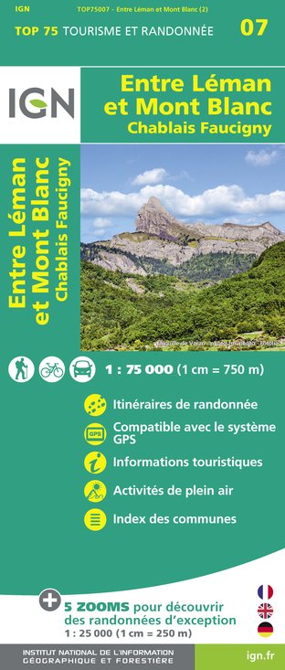
IGN cards


Description
This aerial route is a wonderful viewpoint over the Chablais, Haut Giffre and Mont Blanc massifs. The Joux Plane lake is an artificial lake used to water the herds of the mountain pasture and to regulate the course of the Valentine torrent.
Difficulty: easy
Start: Joux Plane lake (located at the top of the Joux Plane pass)
Map reference: Vallée du Haut Giffre topo-guide
From the Joux Plane lake, take the path on the right which leads to the real Joux Plane pass located between the Tête de Vuargne* on the left (which we will climb) and the pointe d'Angolon on the right. From the pass, a path quickly rises up the grassy slope by a few tight switchbacks to reach a rocky projection.
The path skirts around it on the left, crosses the slopes overlooking the lake and then rises in a valley before reaching the ridge.
The path continues, without further difficulty, opening up a splendid view of the Mt Blanc range on the left and the Chablais mountains on the right.
A few hundred metres further on, the Ranfolly chairlift station appears (Les Gets ski area). In front of the station, an orientation table will allow you to put a name on the summits that surround you.
Continuing along the ridge, the path descends quietly to the Col road. Once you have reached the road, turn left to reach the lake.
Itinerary for guidance only.
Technical Information
Altimetric profile
Starting point
Date and time
- From 01/06/2025 to 15/10/2025
- From 01/06/2026 to 15/10/2026
Additional information
Environments
Mountain location
Updated by
Office de Tourisme de Samoëns - 03/10/2024
www.samoens.com
Report a problem
Open period
From 01/06 to 15/10.
Subject to favorable weather.
Contact
Phone : 04 50 34 46 02
Topo guides and map references
Topo guides references :
Topo ‘50 randonnées en vallée du haut giffre’ Patrice Gain, on sale in the valley's shops.
Map references :
IGN TOP 25 - 3530 ET Samoëns map - on sale at the tourist office and in shops. Montagnes du Giffre hiking map - CCMG - on sale at the tourist office.
Animals accepted
Dogs on a leash
Data author


