Alert
Alerts
Type of practice
Walking
Medium
1h30mn
Presentation
Description
Map
Steps
Points of interest
Ratings and reviews
See around
Val-Dieu : The Saint-Jean-Sart Walk


Credit : Knuppelstock
IGN cards
Description
Magnificent view over the entire Land of Herve thanks to the orientation table of Knuppelstock. Passage through meadows. Alongside a pond arranged by the owners of the Val-Dieu mill, who use it to generate their electricity.
Departure also possible from Place du Tilleul in Saint-Jean-Sart.
Follow the blue diamond markers (see photo above).
Walk of 5.2 km.
Find the route on the walking map of the municipality of Aubel: https://www.paysdeherve.be/produit/carte-des-promenades-pedestres-vtt-et-equestres-daubel
Technical Information
Walking
Difficulty
Medium
Duration
1h30mn
Dist.
5.2 km
Type of practice
Walking
Medium
1h30mn
Show more
Altimetric profile
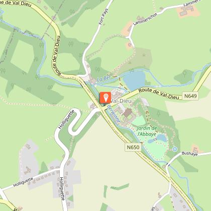
Starting point
4880
Val-Dieu
Lat : 50.69857Lng : 5.80357
Points of interest
Additional information
Signalétique (EN)
Pedestrian - Diamond - Blue
Data author

proposed by
Maison du Tourisme du Pays de Herve
Ratings and reviews
To see around


