Alert
Alerts
Hiking: On the Bacounis trail


IGN cards




Description
This route takes hikers in the footsteps of the famous Meillerie stones which were transported from Meillerie to Lausanne or Geneva on Savoy boats. The "bacounis" were the men whose profession was to load the boats.
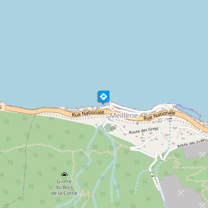
Departure at the pier of Meillerie.
Departing from the Meillerie landing stage, the Bacounis loop takes you on a journey of discovery through the history of the local quarry.
In operation since the late 16th century, this quarry employed up to 450 workers to supply stone for buildings in Geneva and Lausanne.
The quarry closed in 1939 with the arrival of concrete and the great strikes.
Take time to visit the Prieuré de Meillerie, founded by canons of St. Augustine. Admire the Gothic chapel and the defensive tower, now converted into a bell tower.
Following the lake on the last stretch to Locum beach, this easy hike combines local history and lake views.
Enjoy a dip in the lake on the way back!
Technical Information
Altimetric profile
Starting point
Points of interest
Additional information
Updated by
Conseil Départemental de la Haute-Savoie - 20/12/2024
www.hautesavoiexperience.fr
Report a problem
Reception conditions for animals
Dogs allowed, on leash only (several passages and road crossings).
Guidebook with maps/step-by-step
1/ Departure from landing stage of Meillerie. 2/ Take the direction of "Locum" by the Fauconnière. Then follow the direction of "Locum" at the successive intersections "Bois Coment", "Pierre Jean Jacques Rousseau", "Carrière des Etalins". Then follow the direction of "Pré Fournet" followed by "La Fauconnière", and its panorama, the "Rocher du Balairon" and to finish, the hamlet "les Plantés". 3/ Go back down towards Locum, a small village on the edge of the lake. You will have to cross the D1005 (be careful) to reach the village. When you arrive at "Locum (Plage)", take the direction of Meillerie (Débarcadère) in order to return to your starting point via "la Tronche (Parking)".
Open period
All year round. Please check with the Tourist Office beforehand to find out the current access conditions. Subject to favorable snow and weather conditions.
Contact
Phone : 04 80 16 10 64
Email : saintgingolph@ot-peva.com
Website : leman-mountains-explore.com
Data author

