Alert
Alerts
Type of practice
Racing biking
Very easy
1h15mn
Presentation
Description
Map
Points of interest
Ratings and reviews
See around
Around the walking and cycling path - Le chemin des mûriers - Loop 6.1

IGN cards

2929ET - BEAUJEU BELLEVILLE
Editor : IGN
Collection : TOP 25 ET SÉRIE BLEUE
Scale : 1:25 000
13.90€

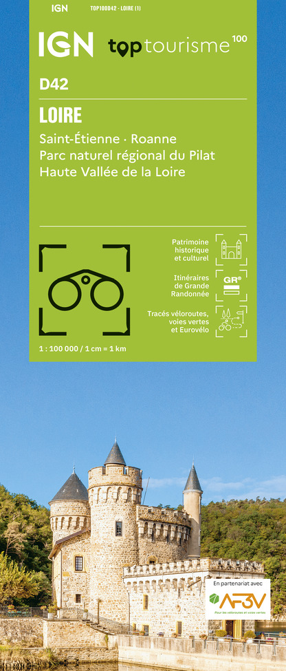
TOP100D42 - LOIRE SAINT-ÉTIENNE ROANNE PARC NATUREL RÉGIONAL DU PILAT HAUTE VALLÉE DE LA LOIRE
Editor : IGN
Collection : TOP 100
Scale : 1:100 000
8.40€

TOP100D01 - AIN BOURG-EN-BRESSE AMBÉRIEU-EN-BUGEY PAYS DE GEX
Editor : IGN
Collection : TOP 100
Scale : 1:100 000
8.40€

TOP100D69 - RHÔNE LYON VILLEFRANCHE-SUR-SAÔNE MONTS DU LYONNAIS
Editor : IGN
Collection : TOP 100
Scale : 1:100 000
8.40€

D71 SAÔNE-ET-LOIRE
Editor : IGN
Collection : CARTES DÉPARTEMENTALES IGN
Scale : 1:150 000
5.90€

D01-69 AIN RHÔNE
Editor : IGN
Collection : CARTES DÉPARTEMENTALES IGN
Scale : 1:150 000
5.90€

D42-43 LOIRE HAUTE-LOIRE
Editor : IGN
Collection : CARTES DÉPARTEMENTALES IGN
Scale : 1:150 000
5.90€

NR09 BOURGOGNE FRANCHE-COMTÉ
Editor : IGN
Collection : CARTES RÉGIONALES IGN
Scale : 1:250 000
6.80€

EUROPE
Editor : IGN
Collection : DÉCOUVERTE DES PAYS DU MONDE IGN
Scale : 1:2 500 000
7.00€
Description
The loop follows part of the walking and cycling pathof Beaujolais which is a developed route, away from cars and reserved for bicycles, rollerblades, strollers ... 15 km long, it connects Beaujeu to Belleville-en-Beaujolais.
Technical Information
Racing biking
Difficulty
Very easy
Duration
1h15mn
Dist.
15 km
Type of practice
Racing biking
Very easy
1h15mn
Show more
Altimetric profile
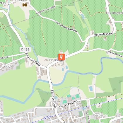
Starting point
Départ Cercié - Voie Verte
,
69220
Cercié
Lat : 46.119429Lng : 4.670992
Points of interest
Additional information
Updated by
Destination Beaujolais - 26/09/2024
www.destination-beaujolais.com
Report a problem
Contact
Phone : 04 74 07 27 40
Email : contact@destination-beaujolais.com
Website : out.ac/knpoz
Data author

proposed by
Destination Beaujolais
96 rue de la sous préfecture 69400 Villefranche sur Saone
Ratings and reviews
To see around


