Alert
Alerts
BALADES DANS LE PAYS DE SARREGUEMINES


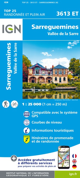
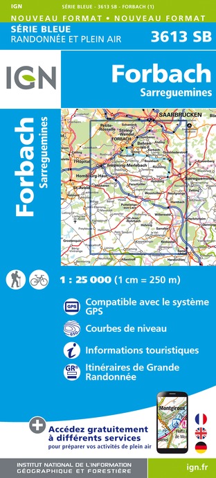
IGN cards


Description
Beautiful panoramic route between France and Germany
The tour starts at the Güdingen lock, the oldest river structure on the German Saar. First cross the Saar at the main road L 109. After passing the small town, you will reach Fechingen. If it is very hot, you can cool off in the swimming pool with its outdoor pools.
Then continue through the fields into the Eschringen valley. From the football stadium there is a steep but short climb to the edge of the forest. Cross the forest to reach the plateau of the Poacher's Path and the Wehrholzer Weg to the community of Auersmacher. Your efforts will be rewarded by splendid views of the Bliesgau, Lorraine and even the Vosges from this part of the Way of St. James!
Then head towards the Blies via the "Mühlenwald" near Sitterswald. Cross the bridge over the river to return to France, towards Sarreguemines, at the Moulin de la Blies. Voted 9th favourite monument of the French in 2015, this place brings together two exceptional sites. First of all, take a stroll in the earthenware garden set up in the middle of the industrial wasteland on the banks of the Blies. Just next door, the Musée des Techniques Faïencières, housed in the former earthenware factory that made the town famous, is a must-see.
Then take the cycle path which quickly leads you to the town centre of Sarreguemines as far as the towpath on the banks of the Saar. A gourmet break is a must! The website of the Sarreguemines Confluences Tourist Office gives you all the good addresses for eating out or having a well-deserved drink!
Towns and villages crossed: Güdingen, Fechingen, Eschringen, Auersmacher, Sitterswald, Sarreguemines
Technical Information
Altimetric profile
Starting point
Additional information
Producteur de la donnée
Ces informations sont issues de la plateforme SITLOR - Système d’Information Touristique - Lorraine
Elles sont synchronisées dans le cadre du partenariat entre Cirkwi, l’Agence régionale du Tourisme Grand Est et les membres du comité technique de Sitlor.
Contact
Tel : +49 (0) 681 927 200
Email : info@tz-s.de
Site web : www.visiter-la-sarre.fr/
Data author
