Alert
Alerts
Type of practice
Walking
Hard


Presentation
Description
Map
Ratings and reviews
See around
Chemin du sommet des Agriers (copie)
IGN cards
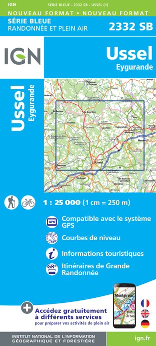
2332SB - USSEL EYGURANDE
Editor : IGN
Collection : TOP 25 ET SÉRIE BLEUE
Scale : 1:25 000
13.90€

TOP75015 - CHAINE DES PUYS - MASSIF DU SANCY
Editor : IGN
Collection : TOP 75
Scale : 1:75 000
9.80€

148 CLERMONT FERRAND SALERS PNR DES VOLCANS D'AUVERGNE
Editor : IGN
Collection : TOP 100
Scale : 1:100 000
8.40€

D23-87 CREUSE HAUTE-VIENNE
Editor : IGN
Collection : CARTES DÉPARTEMENTALES IGN
Scale : 1:150 000
5.90€

D03-63 ALLIER PUY-DE-DÔME
Editor : IGN
Collection : CARTES DÉPARTEMENTALES IGN
Scale : 1:150 000
5.90€

D15-19 CANTAL CORREZE
Editor : IGN
Collection : CARTES DÉPARTEMENTALES IGN
Scale : 1:150 000
5.90€

EUROPE
Editor : IGN
Collection : DÉCOUVERTE DES PAYS DU MONDE IGN
Scale : 1:2 500 000
7.00€
Description
Ancienne lande à bruyère, le massif forestier des Agriers a été boisé à partir des années 1970. Cette balade sera l’occasion de découvrir plusieurs éléments de patrimoine, objets de légendes : pierres de la Plaine des Filles, croix des 4 arbres, puits à banlève, dolmen du Chevatel.
Culminant à 915m., le Puy du Vareyron avec sa table d’orientation offre une vue exceptionnelle sur les Monts d’Auvergne.
Technical Information
Walking
Difficulty
Hard
Dist.
20 km
Type of practice
Walking
Hard
Show more
Altimetric profile
Starting point
Table d'orientation du Chavanon
,
19340
MERLINES
Lat : 45.625081Lng : 2.47538357
Additional information
Balisage
Balisage pédestre : Jaune
Balisage VTT : Jaune
Data author

proposed by
Corrèze Tourisme
Ratings and reviews
To see around