Alert
Alerts
MALMEDY OPEN MARATHON 87 km
IGN cards
Description
In association with the municipalities of Malmedy and Waimes and with the permission of the DNF (Department of Nature and Forests), the organisers of the Raid des Hautes-Fagnes have created four marathon mountain bike distances available as GPX tracks for download below.
These hilly and technical routes are suitable for experienced mountain bikers.
The route goes through the municipalities of Malmedy and Waimes and includes many passages recognised by the RDHF. It will take you across the Hautes-Fagnes plateau and through the valleys of the Warche and the Bayehon.
Some parts of the route cross wet sections, and it is recommended that you use these tracks between the end of April and the end of September. Some paths may also be closed at this time due to hunting.
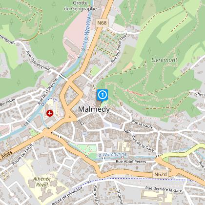
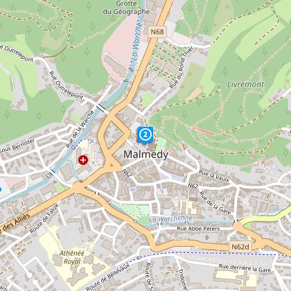
Four distances on the programme, starting at the Malmundarium (next to the cathedral of Malmedy):
53km / 1485m D+
61km / 1605m D+
70km / 1685m D+
87km / 2025m D+.
Infos : arnaud@rdhf.be
Technical Information
Altimetric profile
Starting point
Data author


