Alert
Alerts
Le Puy de Rent depuis Annot


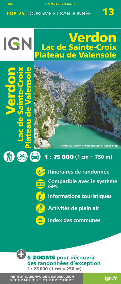
IGN cards


Description
A superb view of the surrounding mountains: Grand Coyer and Saint Honorat to the east, Pic de Chamatte to the south, the Haut Verdon mountains to the west, and the villages of Méailles and Allons in the valley.
From the Roncharel refuge parking lot, cross the road and take the path leading up to Basse d'Annot. It crosses a track, then leads to the ridge, which you should follow to the right towards Basse d'Allons (yellow/red markings). Continue towards the summit, taking advantage of the panoramic view of the Grand Coyer and Saint Honnorat ranges to the east. A little further to the left is a pretty little shepherd's hut. Finally, a cairn of whitish limestone marks the summit of Pic de Rent at an altitude of 1996m. This magnificent ridge takes on a steppe-like appearance in early autumn, offering splendid views over the Vaïre and Verdon valleys. Return to the Roncharel refuge by the same route. This hike is also ideal for mountain biking.
Technical Information
Altimetric profile
Starting point
Additional information
Updated by
Office de Tourisme Intercommunal Verdon Tourisme - 07/10/2024
www.verdontourisme.com
Report a problem
Reception conditions for animals
Warning: you are in a pastoral zone, where guard dogs (patous) may be present.
Keep your dogs on a leash.
Contact
Phone : 04 92 83 23 03
Email : annot@verdontourisme.com
Website : www.verdontourisme.com
Topo guides and map references
Map references :
IGN TOP 25 3541 OT and Verdon Tourisme map "21 hikes around Annot".
