Alert
Alerts
Cyclo n°1 - Le tour du Blayeul
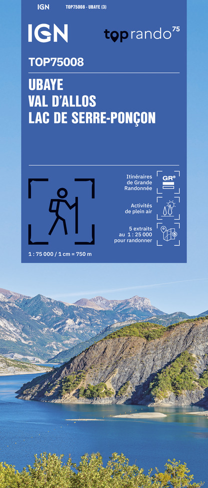
IGN cards


Description
You will go up the spectacular and tortuous Bès valley, rich in geological curiosities then you will go around this emblematic mountain of the Dignois country before going back down through the Bléone valley. What a contrast between the two sides!
This 65 km loop takes you through mountain landscapes, north of Digne les Bains, to discover the geological particularities of the Geopark of Haute-Provence.
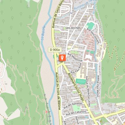
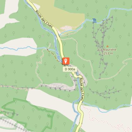
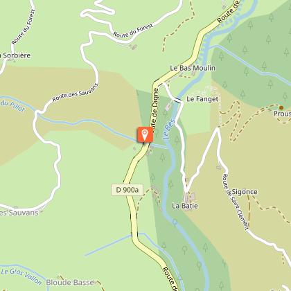
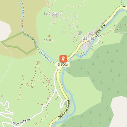
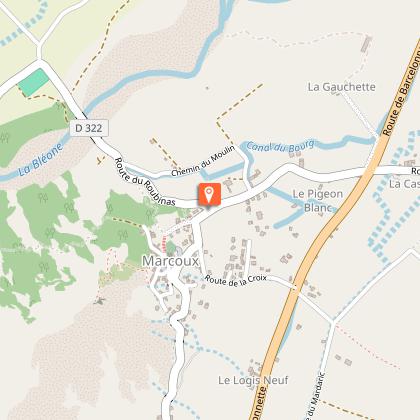
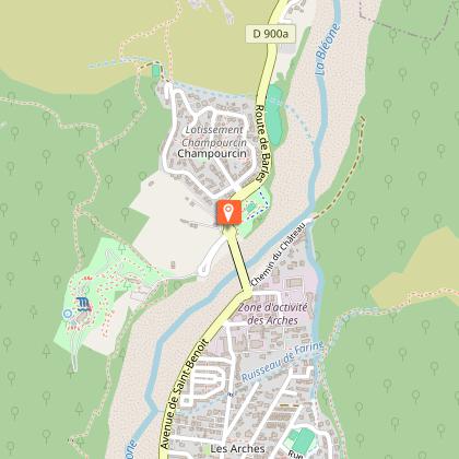
From Digne les Bains, take the road to Barles. At the edge of the town: the Promenade Museum and the Dalle aux ammonites.
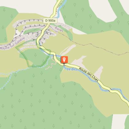
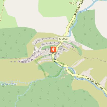
Follow the direction of Barles, through the famous Clues de Barles, a breathtaking geological formation! Possibility of swimming in the Bès.
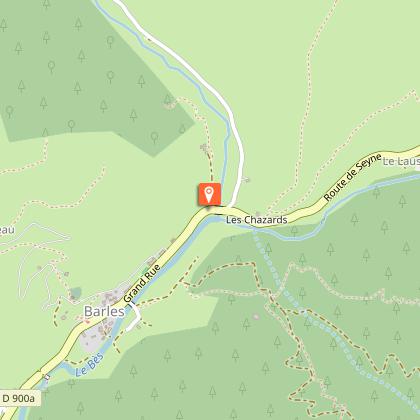
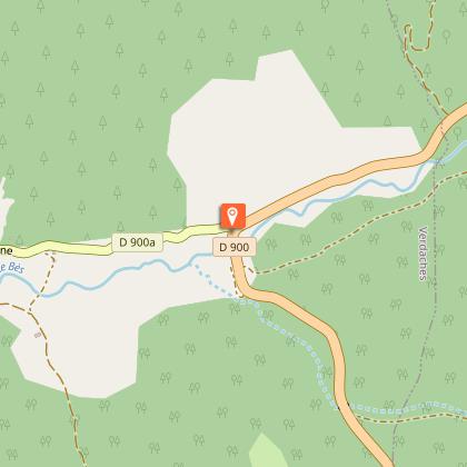
Cross Barles and continue towards Verdaches, via the clues of the same name.
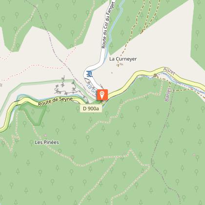
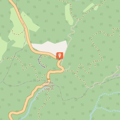
Pass the Col du Labouret (2,1km at 4%) and observe the constructions: this pass marks the architectural limit between the Alps (sloping roofs) and Provence (flatter and tiled roofs).
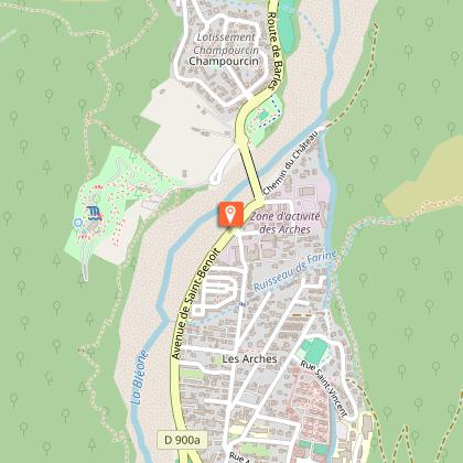
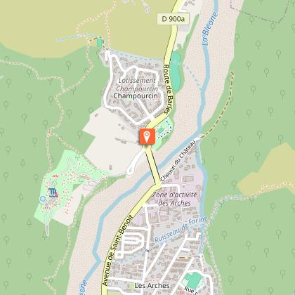
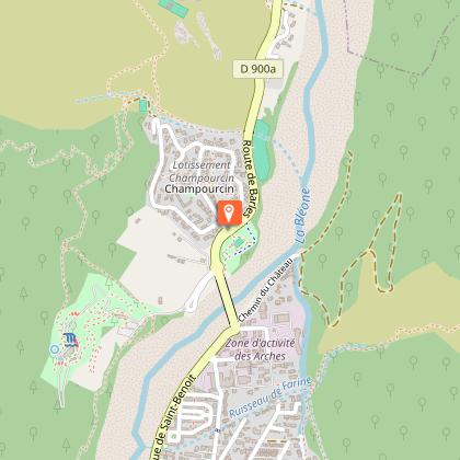
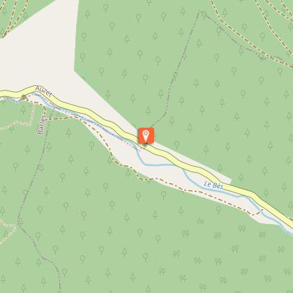
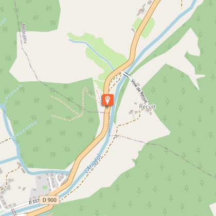
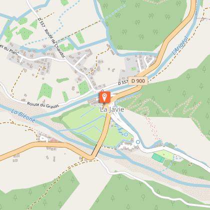
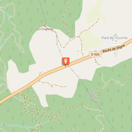
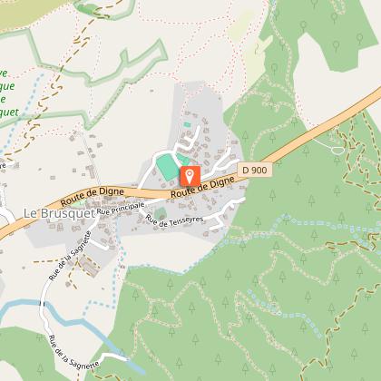
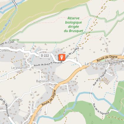
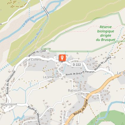
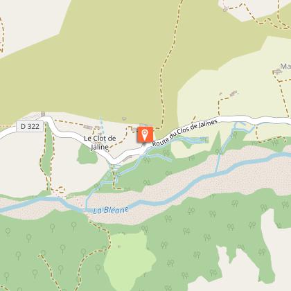
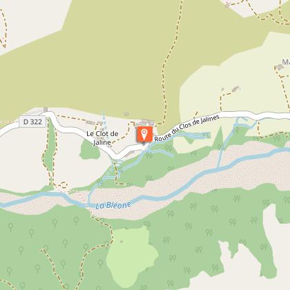
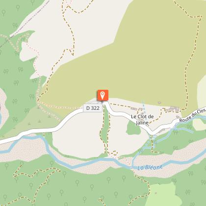
Continue the loop through the villages of Haute Bléone: La Javie, Le Brusquet. At Marcoux, turn right and return via Clos de Jaline. The road joins the road to Barles, on which you started your route.
Technical Information
Altimetric profile
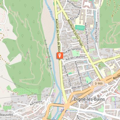
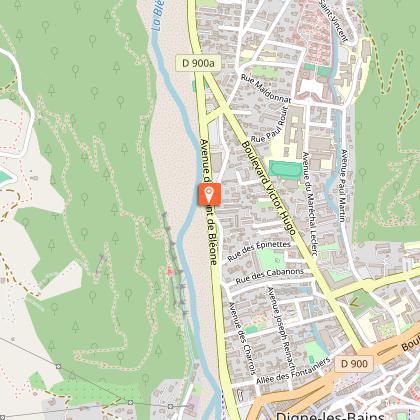
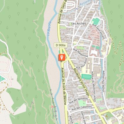
Starting point
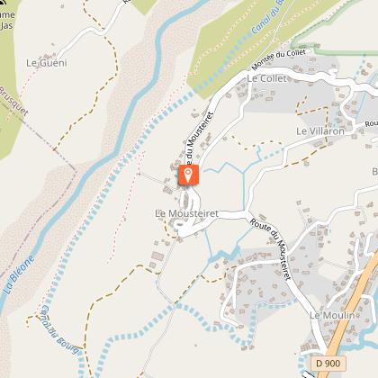
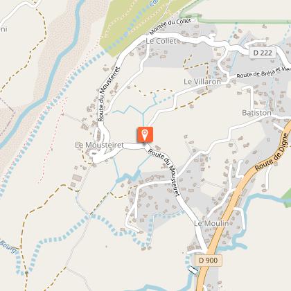
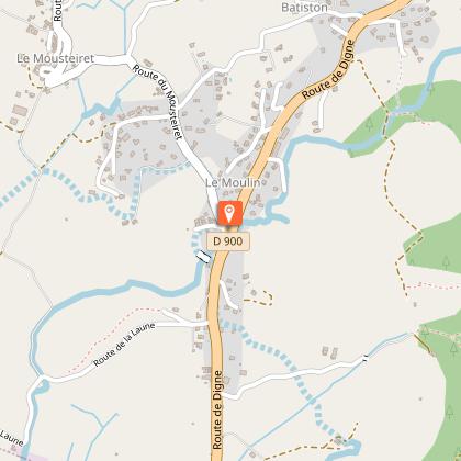
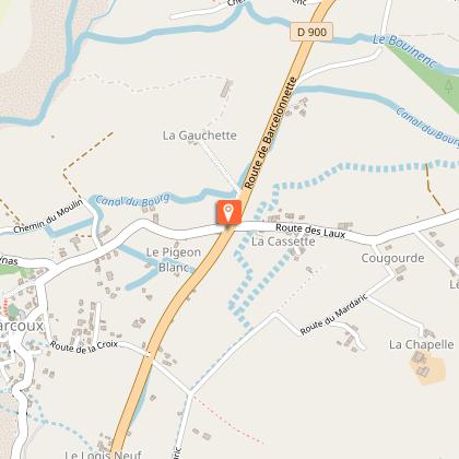
Steps


Points of interest


Additional information
Updated by
Office de Tourisme Provence Alpes Digne les Bains - 26/09/2025
www.dignelesbains-tourisme.com
Report a problem
Contact
Phone : +33 4 92 35 11 00
Email : info@blancheserreponcon-tourisme.com
Website : www.rando-alpes-haute-provence.fr/randonnee-velo/tour-du-blayeul-parcours-velo-n1/
Type of land
Hard coating (tar, cement, flooring)
