Alert
Alerts


Crêtes de Treffort


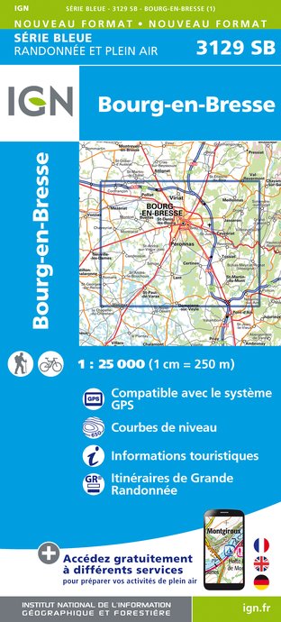
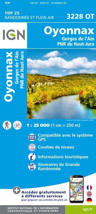
IGN cards


Description
Starting from Treffort, the medieval town, a great hike to the first foothills of the Revermont that surround this village of character. A panoramic tour on the Montcel ridges, on the Roches de la Cabatane, Lomont and Montfort.
The first discovery is the valley behind the village with the wash house of La Platte and the ford of La Barre. On this ancient road, the cross of the Angoulures pass marks the first stage. From there, an ascent by a path, on the Roches de la Cabatane to take advantage of the magnificent viewpoints. Second pass, the pass of Justices, historical border which marked the change of jurisdiction and perhaps place of justice.
Beginning of the narrow path of the crest of Lomont, a long mountain, also marking the border, with passage to the ruins of the fortified house of Lomont and its disappeared village above Cuisiat of the castle of Rosy. Some viewpoints on Bresse and Cuisiat. On the other side of the mountain, steep descent by the pass of Montfort before discovering the chapel, only vestige of another disappeared village. Above, the remains of the castle of Montfort, where the remains of a keep, walls, ditches... Descent on Cuisiat by the path on Palanche (boards, big stick, pole...).
A crossing of Cuisiat, passage in front of the museum of Revermont and in the old village before catching up with the crest and the pastures of Montcel. A good place to take a break in front of very nice landscapes. South of Montcel, descent in the undergrowth to the hunters' bench which marks the return to Treffort with some beautiful points of view on the village and the Bresse. Passing in front of the castle of the counts of Savoy and the church, without forgetting a stroll in the charming alleys.
Recommended steps :
Direction La Platte - Col des Angoulures
Direction La Cabatane - Col des Justice
Direction Crête and ruins of Lomont
Direction Col et Chapelle de Montfort
Direction Ruins of Montfort
Direction Cuisiat
Direction Montcel - Treffort
Technical Information
Altimetric profile
Starting point
Points of interest


Additional information
Environments
Forest location
Mountain view
Mountain location
Lake 5 km away
Panoramic view
Updated by
Bourg-en-Bresse Destinations - Office de tourisme - 20/09/2024
www.bourgenbressedestinations.fr
Report a problem
Open period
All year round.
Contact
Phone : 04 74 22 49 40
Email : accueil@bourgenbressedestinations.fr
Website : www.bourgenbressedestinations.fr
Facebook : www.facebook.com/bourgenbressetourisme
Type of land
Rock
Stone
Grit
