Alert

Alerts

To see around
See more
Open
Close
Show
Show
Show
Show
Show
Show
Show
Show
Show
Show
Show

Oups... It would appear that Cirkwi does not have permission to use your location.

OSM Map
OSM Map
OpenStreetMap
Satellite images
Satellite images
Google
GoogleMap Map
GoogleMap Map
Google
Hybrid Map
Hybrid Map
Google
IGN - France
IGN - France
IGN
Cadastral Plan
Cadastral Plan
IGN
Presentation
Description
Map
Steps
Ratings and reviews
See around

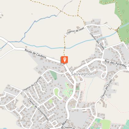
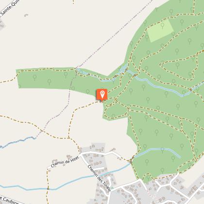
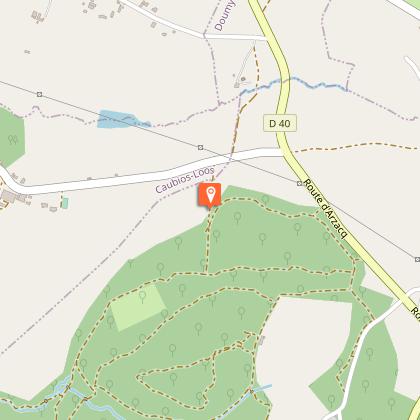
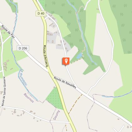
De Sauvagnon au lac du Balaing

Tour du lac du Balaing Navailles-Angos Tourisme Nord Béarn cph SMT NB
Lac du Balaing - Navailles-Angos - Tourisme Nord Béarn
Randonnée Navailles au Balanh Tourisme Nord Béarn CCLB64 1- Copie
randonnée famille Nord Béarn Madiran

Description

This is not a long ride, but it does require a certain level of cycling skill. It takes you deep into the hillsides of Béarn, between forested valleys and cultivated plateaus, to reach - and discover at the last moment - this beautiful stretch of water, tucked away at the bottom of a deep valley. A return trip.

Technical Information

Walking
Difficulty
Hard
Duration
2h20mn
Dist.
6.9 km
Show more

Altimetric profile

Starting point

Mairie , 64230   SAUVAGNON
Lat : 43.4028087Lng : -0.3868965

Steps

Additional information

Contact

Fixed telephone : +33 5 59 68 28 78
Office de tourisme du Nord Béarn Lembeye
e-mail : contact@bearnmadiran-tourisme.fr
Web site (URL) : www.bearnmadiran-tourisme.fr/

Balisage

Yellow
Trait

Typologie de l'itinéraire

Return

Durée moyenne de l'expérience

2 to 3 hours

Thèmes

Cultural
Natural
Religious

Ratings and reviews

To see around
See more
Open
Close
Show
Show
Show
Show
Show
Show
Show
Show
Show
Show
Show
Caution!
We have no information on the difficulty of this circuit. You may encounter some surprises along the way. Before you go, please feel free to inquire more and take all necessary precautions. Have a good trip! 🌳🥾